Banner Elk, North Carolina
Top Spots in and near Banner Elk
-
Johnson City, Tennessee
5.0
3.12 mi
/ 1220 ft gain
The Fork Knob and White Rock Loop in Johnson City, Tennessee, is a moderately challenging hiking trail that spans approximately 3.12 miles. The trail is marked by a variety of natural features, including a prominent rock formation known as White Rock, which offers panoramic views of the surroundi...
Read more
-
Johnson City, Tennessee
5.0
0.65 mi
/ 223 ft gain
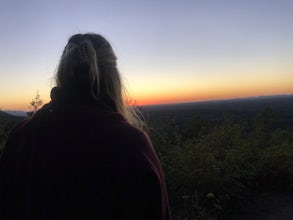
Sunset Point is an overlook located in Buffalo Mountain State Park. The trail is a short hike up along the White Rock loop trail then a short walk off the trail to get to the overlook. There is a clearing with a few benches that has wide open views to the west. The short hike up to the point shou...
Read more
-
Bristol, Tennessee
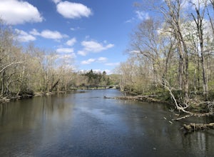
Coming from US-421 turn off on Emmett Rd and keep left to get on Holston View Dam Rd and continue straight on this road by the river. There are parking spaces by the river below the dam and short easy trails to walk on next to the river. You’ll see fly fishers in the river below the dam on early ...
Read more
-
Unicoi, Tennessee
5.0
3.47 mi
/ 663 ft gain
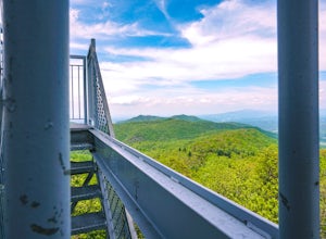
Pinnacle Mountain hosts one of the nicest fire towers on the East Coast of the United States. The fire tower is relatively new, sturdy, and has a large 360 degree viewing area at the top. The tower overlooks the Downtown Johnson City area, Elizabethton, Erwin, and the rest of the Buffalo Mountain...
Read more
-
Johnson City, Tennessee
The course gravel trail begins just east of downtown Johnson City. The trail maintains a flat grade throughout the 10 miles towards the city of Elizabethton. There are restrooms 3 miles in from the Johnson City trailhead. You can also park at Lions Field in Elizabethton and head west towards John...
Read more
-
Nebo, North Carolina
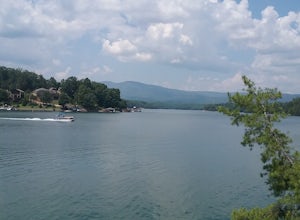
The park has about 15 miles of trails with different levels of difficulties . Hiked the Lake Channel Trail along the lake with good views of the lake and the Blue Ridge Mountains. Hiked the Mill's creek trail which is nicely shaded and offers good views of the lake and the Linville Gorge area. ...
Read more
-
Bristol, Tennessee
5.0
2.16 mi
/ 194 ft gain
The Emmett Trail is one of the TVA South Holston Tailwater Trails. This trail began as a footpath created by anglers. The trail now has gravel, which makes for easier access for families and pets. The trailhead begins on Piney Hill Road where it the traverses down to the waters edge and leads to ...
Read more
-
Bristol, Tennessee
The Osceola Island Loop is a 1.50 mile gravel loop on an island in the South Holston River. There are multiple benches along the loop to stop and observe the wildlife. Fishing is a common activity along the edge of the trail. There is a large parking area and bathrooms at the start of the trail.
Read more
-
Johnson City, Tennessee
Lone Oak to Tip Top Trail is an out-and-back trail where you may see beautiful wildflowers located near Johnson City, Tennessee.
Read more
-
Bristol, Tennessee
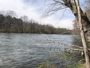
The TVA Tailwater Trail is a 0.5 mile trail along the east side of South Fork Holston River. The trail is dirt and ends in an incline. Along the edge of the river, there are views of the distant Holston Mountain. This trail provides access to the river for fishing. It is located near the Emmett T...
Read more
-
Bluff City, Tennessee
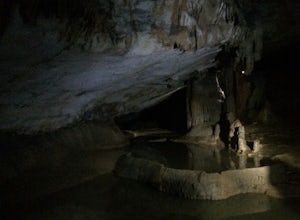
Worley’s Cave, also known as Morrill Cave, lies just outside of Boone across the Tennessee border. It is the second longest cave in the state of Tennessee at a whopping 4.4 miles in total length. It is a non-lit cavern that’s path is lit only by those who venture in its depths (i.e. headlamps, la...
Read more
-
-
Micaville, North Carolina
4.9
2.83 mi
/ 525 ft gain
Starting from the old store parking area at MP 339.5 on the Blue Ridge Parkway, follow the trail through a meadow past the campground amphitheater. After crossing the paved road to the campground, the trail will come to a T-intersection. Take the trail to the right for the shortest way to the fal...
Read more
-
Marion, North Carolina
The hike to Tom's Creek Falls is a short but enjoyable hike right off the side of the road. The hike is on a wide and mostly flat gravel road that goes right up to the waterfall and a viewing platform that makes for a perfect place for pictures. This hike is a great hike for families and young ki...
Read more
-
Erwin, Tennessee
3.0
2.06 mi
/ 522 ft gain
Martin's Creek Falls is an out-and-back trail that takes you by a waterfall located near Erwin, Tennessee.
Read more
-
Shady Valley, Tennessee
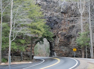
First, from the parking lot, there is a trail which climbs up to walk on top of the rock. The top of the rock is narrow, but has hand rails to hold on to. Once finished walking on top of the rock, cross the road (be extremely careful) and walk away from the tunnel. Here is a good angle to take a...
Read more

