Bakersville, North Carolina
Looking for the best hiking in Bakersville? We've got you covered with the top trails, trips, hiking, backpacking, camping and more around Bakersville. The detailed guides, photos, and reviews are all submitted by the Outbound community.
Top Hiking Spots in and near Bakersville
-
Connelly Springs, North Carolina
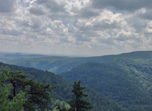
Chestnut Knob via River Trail
4.05.9 mi / 1115 ft gainThe journey begins at the Cicero Branch Parking Area along South Mountain Road, following Jacob Fork River Trail. The trail runs along the Fork before ascending Chestnut Knob. After completing the trail, you will find yourself on the highest peak of the South Mountain chain, where there are breat...Read more -
Creston, North Carolina
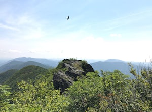
Three Top Mountain
4.2 mi / 1260 ft gainThree Top Mountain sits within the same vicinity of Elk Knob. The mountain gets its name from its three prominent rock projections at its peak. The highest point, unofficially named “Big Rock”, is at an elevation of 5020 feet. Prior to the originally named rock peak, you will arrive at Huckleb...Read more -
Purlear, North Carolina
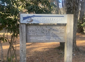
Cascades Trail
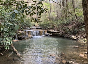
5.00.86 mi / 220 ft gainCascades Trail is an out-and-back trail that takes you by a waterfall located near Deep Gap, North Carolina.Read more -
Kingsport, Tennessee
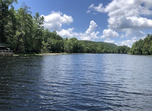
Bays Mountain Trail Loop
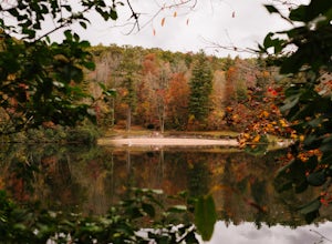
5.06.01 mi / 728 ft gainBays Mountain Trail Loop is a loop trail that takes you by a lake located near Kingsport, Tennessee.Read more -
Kingsport, Tennessee
Bays Mountain Reservoir Trail
5.02.8 mi / 469 ft gainBays Mountain Reservoir Trail is a loop trail that takes you by a lake located near Kingsport, Tennessee.Read more -
Kingsport, Tennessee
Bay's Mountain Firetower
4.83.67 mi / 768 ft gainBay's Mountain Firetower overlooks the city of Kingsport, the South Fork Holston River, and the surrounding Tennessee mountains. Part of Bay's Mountain State Park, this is the most popular hike of the 25 miles of trails. The hike to the fire tower passes the Kingsport Reservoir which is essential...Read more -
Kingsport, Tennessee
Bays Mountain Fire Tower Loop
5.04.79 mi / 879 ft gainBays Mountain Fire Tower Loop is a loop trail that takes you by a lake located near Kingsport, Tennessee.Read more -
Hendersonville, North Carolina
Hike along The World's Edge
0.7 mi / 40 ft gainPark at the end of The World's Edge Road, but be aware that parking is very limited. There is a private residence up to the right so do not block their driveway/gate. Begin your hike by going through the leftmost gate, and continue straight until you reach the first view less than half a mile in....Read more -
Arden, North Carolina
Photograph the French Broad Overlook
5.0The French Broad Overlook is one of several overlook spots along the Blue Ridge Parkway. It's not known to be the most breathtakingly scenic spot of the batch, but it's still a nice viewpoint that will offer you sights of the French Broad River, one of the few north flowing rivers in the US. Yo...Read more -
Church Hill, Tennessee
Laurel Run Trail
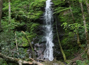
5.03.96 mi / 712 ft gainLaurel Run Trail is an out-and-back trail that takes you by a waterfall located near Church Hill, Tennessee.Read more -
Asheville, North Carolina
Explore Lake Powhatan
Lake Powhatan is located just minutes away from Asheville, NC and offers a number of fun activities for you, your friends, and your family. In the warm summer months, the Lake is a popular spot for swimming. The small stretch of beach along the lake is a nice place to lay out and soak in the sun....Read more -
Del Rio, Tennessee
Max Patch to Hot Springs, N.C. via Appalachian Trail
3.014.06 mi / 2966 ft gainMake a weekend trip from Max Patch to Hot Springs N.C., and be sure to soak in the natural hot springs at the old inn after your hike! This is an incredible, relatively easy hike with the reward at the end being hot springs on the French Broad River. You can break this up however you like, this i...Read more -
Purlear, North Carolina
The Lump Trail
4.00.27 mi / 82 ft gainThe Lump Trail is an out-and-back trail where you may see beautiful wildflowers located near Purlear, North Carolina.Read more -
Del Rio, Tennessee
Max Patch Mountain
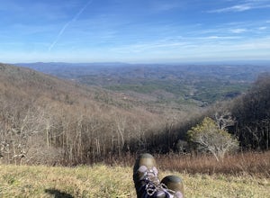
5.01.51 mi / 315 ft gainMax Patch Mountain was once cleared for pasture land, leaving an expansive flat summit that now serves as the ideal location for a picnic hike, flying a kite, or laying in the sun surrounded by the Great Smoky Mountains. With little elevation gain and a short distance it is also very family (and ...Read more -
Hickory, North Carolina
Geitner Rotary Park Loop
5.02.65 mi / 354 ft gainGeitner Rotary Park Loop is a loop trail that takes you by a lake located near Hickory, North Carolina.Read more -
Clyde, North Carolina
Hike to Little Fall Branch falls
0.3 mi / 300 ft gainThe trailhead to this hike is easy to find but the gps is hard to match so it might try to take you through the middle of the trees but its easy to follow the road. The best way to get here is to go off of I-40 at the Harmon Den exit and then go up the road towards Max Patch. To get to the trailh...Read more

