Bakersville, North Carolina
Looking for the best chillin in Bakersville? We've got you covered with the top trails, trips, hiking, backpacking, camping and more around Bakersville. The detailed guides, photos, and reviews are all submitted by the Outbound community.
Top Chillin Spots in and near Bakersville
-
Bakersville, North Carolina
Round Bald via Carver's Gap
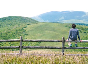
4.31.72 mi / 338 ft gainThis super easy hike to the campsites near Round Bald is the perfect intro to backpacking for kids or newbies, but serves just as well for the more experienced backpackers who can't squeeze a longer trip in over the weekend. This short (.5 mile) hike in leads to a grassy opening with amazing vie...Read more -
Newland, North Carolina
Big Hump Mountain via the Appalachian Trail
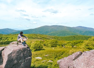
4.57.83 mi / 2021 ft gainTowering over Little Hump Mountain, Big Hump Mountain offers one of the clearest views on the Appalachian Trail. Big Hump Mountain is located in the Roan Highlands North of Bradley Gap. This peak is not as traveled as other popular hikes in the area despite its massive size because of the intense...Read more -
Newland, North Carolina
Hike to Bradley Gap along the Appalachian Trail
4.6 mi / 1339 ft gainBradley Gap rests along the Appalachian Trail overlooking North Carolina and Tennessee mountains. Part of the Roan Highlands, Bradley Gap can be accessed via Yellow Mountain Gap Trailhead. Follow the Roaring Fork Trail from the trailhead until you intersect the Appalachian Trail (White Blaze) app...Read more -
Unicoi, Tennessee
Camp at Unaka Mountain Overlook
4.00.1 miUnaka Mountain Overlook is one of the highest locations in the Cherokee National Forest. Easily accessibly by vehicle, the overlook towers over the surrounding mountains, including Beauty Spot Gap, and is an ideal spot to camp overnight. Take Rock Creek Road until you meet the border of North Car...Read more -
Linville, North Carolina
Take in the View at the Chestoa View Overlook
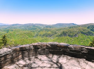
5.00.1 miChestoa View Overlook is an extremely short hike located down a pull-off at milepost 320 of the Blue Ridge Parkway. Park your vehicle in a designated spot then intercept the trail to the left of the lot. The trail will slowly descend down into a stone overlook. The panoramic view showcases the be...Read more -
Green Mountain, North Carolina
Hike to Beauty Spot Gap
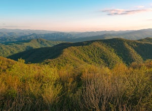
5.02.13 mi / 1277 ft gainBeauty Spot Gap is located on the Appalachian Trail on the border of North Carolina and Tennessee. The bald offers a panoramic view of Cherokee National Forest and the city of Erwin. This is a popular destination for hikers of the AT to set up camp and watch the sunset. From the Tennessee side, t...Read more -
Micaville, North Carolina
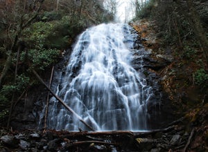
Crabtree Falls
4.92.83 mi / 525 ft gainStarting from the old store parking area at MP 339.5 on the Blue Ridge Parkway, follow the trail through a meadow past the campground amphitheater. After crossing the paved road to the campground, the trail will come to a T-intersection. Take the trail to the right for the shortest way to the fal...Read more -
Elk Park, North Carolina
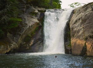
Elk River Falls
4.60.35 mi / 62 ft gainThe coordinates for the parking area are 36.198288, -81.970137. You'll see a parking area that's dirt/gravel on the right side of the road. At the far end of the parking lot is a sign that says Elk River Falls with an arrow pointing up the hill. From this point its about a .2 mile long walk to th...Read more -
Linville, North Carolina
Hike the Flat Rock Trail (NC)
5.00.6 miFlat Rock Trail is located off the Blue Ridge Parkway at milepost 308. There is a pull-off from the Parkway with a sign designating the location. There are several picnic tables around the pull-off, but I would recommend taking your lunch up to Flat Rock. The wide, clear trail is practically flat...Read more -
Hampton, Tennessee
Hike and Traverse the Cables to Dennis Cove Falls
5.03.2 mi / 300 ft gainThe Hike to Dennis Cove Falls includes three water crossings and passes several small waterfalls. Sturdy cables spanning the width of the water crossings provide a fun way of traversing the creek without wading. It is completely possible to wade through the creek while holding onto the cables for...Read more -
Morganton, North Carolina
Hike to the Summit of Table Rock Mountain
4.62.2 mi / 572 ft gainOff of Highway 181, the trailhead is very clearly marked with a large parking lot. Although the trail is fairly short, make sure you have your footing, because the trail does switch back and forth in addition to gaining elevation -- it's pretty steep in some places! It's all worth it when you get...Read more -
Morganton, North Carolina
Camp at the Chimneys in the Linville Wilderness
5.01 mi / 138 ft gainThe Chimneys area is a lesser-known camping destination within the Linville Wilderness. The Chimneys are a series of rock formations that rise above Linville Gorge and provide unobstructed panoramic views of the gorge and surrounding mountains. These rocks sit adjacent to Table Rock which hosts w...Read more -
Newland, North Carolina
Beacon Heights Overlook
5.00.71 mi / 105 ft gainBeacon Heights is the perfect hike when you're on the Blue Ridge Parkway near Linville and Grandfather Mountain, Milepost 305.2. The trail is a steady climb uphill for less than a half mile. The last section being fairly steep and rocky. Once at the top, there are several rock outcroppings, but...Read more -
Morganton, North Carolina
Hike to Hawksbill Mountain
5.02.1 mi / 660 ft gainStarting at the Hawksbill Mountain Trailhead, which is clearly marked start hiking up! The trail starts out with some easy uphill switchbacks and leads you to the first lookout point. Enjoy sometime at the lookout point, but you'll want to keep going for a more incredible view. Keep hiking uphill...Read more -
Johnson City, Tennessee
White Rock Overlook
5.02.85 mi / 876 ft gainThe White Rock trailhead is less than a 10 minute drive from downtown Johnson City. When pulling up Highbridge Road, take a left at the fork. You will shortly encounter a vehicle gate where you will park to the side of the road (do not block the yellow vehicle gate). You have the option to walk ...Read more -
Johnson City, Tennessee
Sunset Point
5.00.65 mi / 223 ft gainSunset Point is an overlook located in Buffalo Mountain State Park. The trail is a short hike up along the White Rock loop trail then a short walk off the trail to get to the overlook. There is a clearing with a few benches that has wide open views to the west. The short hike up to the point shou...Read more


