Worcester, New York
Looking for the best hiking in Worcester? We've got you covered with the top trails, trips, hiking, backpacking, camping and more around Worcester. The detailed guides, photos, and reviews are all submitted by the Outbound community.
Top Hiking Spots in and near Worcester
-
Windham, New York
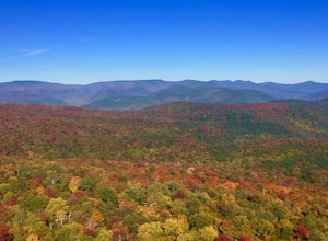
Backpack the Catskill's Escarpment Trail
32.4 mi / 8000 ft gainThe Escarpment Trail runs the length of the Catskill Escarpment. The Escarpment rises steeply from the valley below forming the northeast corner of the Catskill Mountains. It offers great views toward the Adirondack Mountains to the north and the great Hudson River to the east. The trail is moder...Read more -
Altamont, New York
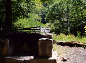
Hike through the Wolf Creek Falls Preserve
3.03 mi / 200 ft gainOver 3 miles of trails provide access to all parts of the preserve, and end up winding through mixed terrain including a wetland, waterfalls, and old stone walls. The property crosses the Bozenkill Road at two points on either side of private parcels (with beautiful homes), so be vigilant there; ...Read more -
Voorheesville, New York
Hike the Keleher Preserve Loop
2.03 mi / 1636 ft gainThe historic preserve is operated by the Mohawk Hudson Land Conservancy, so trails are clearly marked and extremely well maintained. There are features of the original farm that the land was used for from the 18th Century, including hand-thrown stone walls and an old logging road that cuts throug...Read more -
Voorheesville, New York
Hike the Indian Ladder Trail
4.53.5 mi / 200 ft gainThere are many parking areas within the park. Park at the overlook parking. From here you head west following the wood fence. This is the Cliff Top trail. Approximately after walking 0.5 miles you will reach the stairs that will lead you to the base of the cliffs. This marks the start of the...Read more -
Schenectady, New York
Hike Plotter Kill Preserve
4.35.5 mi / 820 ft gainThere are a few entries into the preserve' however, this hike has you entering off of Mariaville Road. There is a kiosk here and you will enter on the Red trail. Shortly after you can go out and back on the Blue trail to view the Upper and Lower Falls from lookouts above. Once back to the Red t...Read more -
Big Indian, New York
Hike to Balsam Mountain in the Catskills
5.4 mi / 2910 ft gainTimeline: Weekend, though can easily be done as an overnight trip or just a day hike Summary: Day 1: Hike to camp (0.7 miles, 340' elevation gain) Day 2: Hike to Balsam Mountain and back to camp (4 miles round-trip) Day 3: Relax & hike back to car (0.7 miles) Details: Park the car at McKinle...Read more -
Caroga Lake, New York
Kane Mountain Fire Tower
4.22.1 mi / 518 ft gainThe Kane Mountain fire tower is one of the more frequented Adirondack towers due to the ease of the trail and its proximity to so many Caroga Lake camping areas. The short hike is family friendly and available year round, part of the trail doubles as a cross country skiing trail in fact. Driving...Read more -
Big Indian, New York
Camp on Giant Ledge
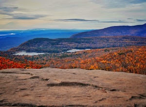
4.51.5 mi / 975 ft gainGiant Ledge is a great hike in the Catskills if you are looking for something short, with incredible views, and camping options. There are not many hikes with better views then this in the Catskills, so why not spend as much time as possible up there? There are a few camping spots you can grab w...Read more -
Big Indian, New York
Hike Giant Ledge
4.53.74 miThe trail starts across the street from the parking area you will see a sign. After a short walk in you will cross a foot bridge. At approximately 0.75 mile you will reach a junction. You will turn left toward Giant Ledge. The next half mile is fairly flat. At 1.5 miles you will reach a spur ...Read more -
Phoenicia, New York
Hike Mt. Wittenberg
4.3Looking for a great day hike in the Catskill region of NY? Then you should definitely look into and consider tackling Mt. Wittenberg then. A challenging climb up but a very rewarding summit view.Starting at Woodland Valley Campgrounds visitor registration house (where you can pay for parking for ...Read more -
Phoenicia, New York
Camp at Woodland Valley
3.0If you are looking for a great campground up in the Catskill Mountains of New York then you definitely have to check out Woodland Valley Campgrounds. Located about 2 hours north of New York City, it is the perfect place to go to get off the grid. No service for about 30 minutes in any direction.T...Read more -
Elka Park, New York
Camp at Sugarloaf Mountain in the Catskills
4.06 mi / 1500 ft gainBegin by parking at the end of Mink Road in Elka Park (GPS:N42 08.593, W74 09.479). It will be a .7 mile hike to camp. Follow the rocky woods road to the junction where there is a SPRING sign. Continuing straight will take you to the water source. If you do not need water, turn left when you see ...Read more -
Haines Falls, New York
Kaaterskill Falls
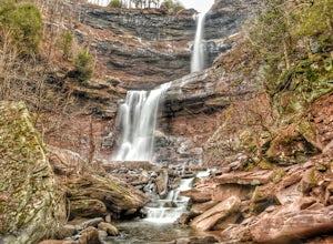
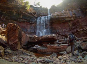
4.52.57 mi / 719 ft gainAlthough this is a super short hike, it is definitely a tough one! The quick, steep climb is totally worth it once you reach the 260 foot cascade and pool at the end. Hike along the trail, hugging Spruce Creek all the way to the falls. If you hike in the spring, the creek and the falls will be ra...Read more -
Elka Park, New York
Layman's Monument and Kaaterskill Falls
3.05 mi / 892 ft gainLayman's Monument and Kaaterskill Falls is an out-and-back trail that takes you to one of New York's tallest waterfalls at 231 feet and to the historical monument for Frank D. Layman, who passed away in 1990 while fighting a forest fire. This trail is located near Haines Falls, New York.Read more -
Haines Falls, New York
Summit North Mountain
4.56 mi / 855 ft gainHave you ever wanted to feel as if you were hiking two different locations at once? If so, then North Mountain is definitely somewhere to check out. Take the birch tree forests around Aspen, CO and pair it with the spruces/pines of the Adirondacks and you'll have this route in the Catskills.Parki...Read more -
Woodstock, New York
Sugarloaf Mountain via Blue Trail
6.54 mi / 2297 ft gainSugarloaf Mountain, is one the 35 highest peaks in New York's Catskills at 3806 ft. There are many ways to approach this peak, and this is an out-and-back hike via Mink Hollow. The parking area is located at the end of Milk Hollow Rd (42.10405386879072, -74.17148500019927). From here, get on the...Read more

