Witherbee, New York
Top Spots in and near Witherbee
-
Lake Placid, New York
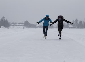
Ice Skate Mirror Lake
Looking for ice skating a bit more off the beaten path? Try Mirror Lake! Open 24/7! The best place to start is at the south end of the lake where you can also find a nearby shop to rent skates if you don't have them. If you do not feel like going on the 2 mile loop around the lake, you can stick ...Read more -
Salisbury, Vermont
Camp at Lake Dunmore
The campground office for Branbury state park is on the opposite side of Route 53 from the pin on the map here, but the best campsites are where the pin is. Start by going and talking to the rangers at the office, they are super friendly and very helpful for recommendations of hikes or things to...Read more -
Lake Placid, New York
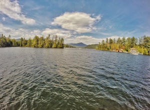
Paddle Lake Placid
Paddleboarding on Lake Placid is definitely and activity to add to your list when up in the Adirondacks during spring or summer. Surrounded by mountains, there are multiple coves you can explore around the lake. There is no set route to follow but circling Buck Island or exploring Paradox Bay are...Read more -
Wilmington, New York
Hike Cobble Lookout in the Wilmington Wild Forest
4.72.6 mi / 240 ft gainPark at the trailhead located on County Route 18A just after the split from Whiteface Veteran's Memorial Highway in Wilmington, NY. There is a small parking lot for 4-5 cars and a pull off just ahead for another 3-4 cars. The trail begins at the back of the parking area. Following the contour of ...Read more -
Lake Placid, New York
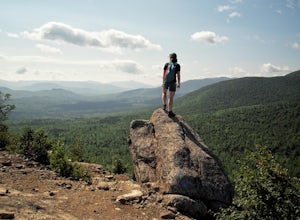
Hike to McKenzie and Haystack Mountains
12.4 mi / 4100 ft gainMcKenzie Mountain stands at 3,861 feet and is one of the highest 100 in the Adirondacks. Haystack Mountain stands at 2,874 feet. Both are part of the Saranac 6ers Challenge.The trailhead for this route to McKenzie and Haystack is located on route 86 in Ray Brook, there is a nice parking area off ...Read more -
Ausable Chasm, New York
Ausable Chasm
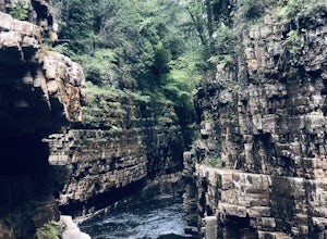
1.84 mi / 210 ft gainAusable Chasm is a loop trail that takes you past scenic surroundings located near Peru, New York.Read more -
Clemons, New York
Hike to Black Mountain in Lake George, NY
6.7 mi / 1046 ft gainBlack Mountain is located on the Eastern side of Lake George and is the tallest mountain above Lake George. The trailhead is located on Pike Brook Road (off from Hulett's Rd, Route 6) in Clemons, NY. The parking area is about one mile up Pike Brook Road, on the right.This hike to Black Mountain i...Read more -
Hancock, Vermont
Hike at Texas Falls Recreation Area
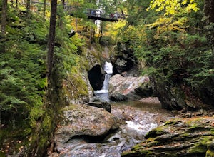
5.01 mi / 209 ft gainDirectly across from the main parking area are the viewing access points of Texas Falls. A footbridge crosses high above the flume and gorge, offering the best views. Crossing the bridge, there are plenty of other great view points with wooden railings keeping you away from the steep drops. ...Read more -
Warren, Vermont
Explore Warren Falls
5.00.25 miWarren Falls is a popular local swimming hole just outside of Warren, VT on Route 100. You can access the falls by driving south on Route 100 from Warren (it's 3.5 miles south on the right hand side) or north from Granville on Route 100. The parking lot is clearly marked with a sign and ample par...Read more -
Saranac Lake, New York
Hike to Mount Baker in Saranac Lake
1.8 mi / 900 ft gainMount Baker (also referred to as Baker Mountain) stands at 2,457 feet and sits in the village of Saranac Lake and is part of the Saranac Lake 6ers Challenge. This is a moderate out and back 1.8 mile hike with an elevation gain of around 900 feet. It is the easiest of the 6ers and makes for a grea...Read more -
Castleton, Vermont
Hike around Taconic Mountains Ramble State Park
Taconic Mountains Ramble State Park is a unique collection of hiking trails and walking paths that meander more than 204 acres of fields, forests, gorges, cliffs, and gardens. The best way to explore these enchanting trails is to pack a picnic and lace up your hiking boots for a full-day ramble. ...Read more -
Granville, Vermont
Photograph Moss Glen Falls
4.5While enjoying some of Vermont's most beautiful fall foliage along Route 100, be sure to stop and photograph Moss Glen Falls. Located approximately 3 miles outside of Granville, Vermont, Moss Glen can be found right along the roadside, making these falls easily accessible. There is a large parkin...Read more -
Huntington, Vermont
Camel's Hump Summit via the Burrows Trail
4.04.4 mi / 2228 ft gainThis adventure takes you up the Burrows Trail from the Huntington side of Camel's Hump. There are multiple trails to the summit, but this trail is the shortest. It is 2.4 miles to the summit with 2300' elevation gain. The trailhead is accessed from the aptly named Camel's Hump Road out of Huntin...Read more -
Newcomb, New York
Hike Goodnow Mountain
5.03.9 mi / 1089 ft gainThe trailhead is located on NY 28N and is marked by a white trailhead sign that you can't miss from the road. The highly used trail starts out fairly level, then at 0.5 miles begins to ascend steeply in some spots the rest of the way to the summit. The hike is 1.95 miles from the parking area to ...Read more -
North Creek, New York
Hike Gore Mountain
5.010 mi / 3040 ft gainYou will start this hike following the blue blazed Schaefer trail. Though the sign shows 5.8 miles to the summit it is actually only 5.0 miles. Much of the way you follow Roaring Brook which has many waterfalls along the way. Just after the North Creek Reservoir you will get your first glance at...Read more -
Bolton, New York
Hike Cat & Thomas Mountains Preserve
5.05.8 miThere are a few ways to approach these two peaks. We chose to do a traverse using two vehicles.Starting at Edgecomb Pond Rd you will park along the road. There will be a sign and yellow discs directing you to the start of the trail. The first 0.4 miles is following a dirt road. You will then ...Read more

