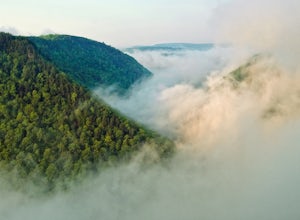
Hammondsport, New York
Looking for the best photography in Hammondsport? We've got you covered with the top trails, trips, hiking, backpacking, camping and more around Hammondsport. The detailed guides, photos, and reviews are all submitted by the Outbound community.
Top Photography Spots in and near Hammondsport
-
Mount Morris, New York
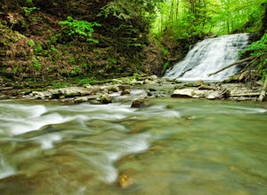
Hike to Papermill Falls
4.00.75 miThe trail is marked as #19 on Letchworth State Park maps also known as Gibsonville Trail. The trailhead is located in the northern section of the park between the Highbanks Recreation area and the Highbanks Tent and Trailer camping. There is parking just north of the bridge that crosses the Sil...Read more -
Perry, New York
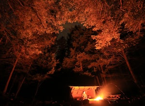
Camp at the Highbanks Campground (Letchworth State Park)
4.0The Highbanks camping area is located on northern end of the park. Entering the park from the Mount Morris the camper registration will be 6 miles in on Park Road.Pick up a park map and choose some of the many sites to explore whether it is hiking or just driving through the park to some of road...Read more -
Hunt, New York
Hike the Gorge Trail in Letchworth State Park
5.07 miThere are over 66 miles of trails to explore at Letchworth State Park; however, the most popular and the one I chose is the Gorge Trail. This trail runs 7 miles from point-to-point passing by three lovely waterfalls. It travels parallel to the main road for the majority of the hike. You can star...Read more -
Brooktondale, New York
Camp at the Shindagin Hollow Lean-To
4.51 mi / 150 ft gainFrom the parking spot on Prospect Valley Rd., cross the footbridge as part of the Finger Lakes Trail due East. The trail will be marked with white blazes. As you follow the blazes you will hike up for about 0.5 miles, increasing elevation by about 150ft, and then down 30-50 ft for 0.2 miles befo...Read more -
Wellsboro, Pennsylvania
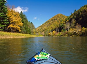
Kayak Camp the Pennsylvania Grand Canyon
5.0Start at the Big Meadows parking area in Ansonia. The water access is at Marsh Creek but almost immediately meets up with Pine Creek. Arrange a shuttle service with Pine Creek Outfitters to either pick you up or shuttle your vehicle to the take out at Blackwell and also pick up one of their wate...Read more -
Wellsboro, Pennsylvania
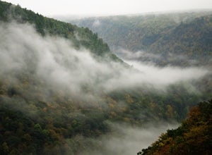
West Rim Trail
4.027.97 mi / 4065 ft gainHiking north to south, the trailhead is just off of Colton Road at a gravel parking lot with bathrooms. The trail is marked with orange blazes and has the largest elevation gain at the beginning and then has relatively moderate elevation change throughout the remainder of the hike. At 2.6 mile...Read more -
Wellsboro, Pennsylvania
Barbour Rock Loop
2.64 mi / 331 ft gainThe parking can be found along Colton Road heading toward Colton Point State Park. There is a large sign opposite the parking and the trail is a wide gravel path through the woods. It is 0.7 miles walk on the path to the vista suitable for anyone. You then have the option to head back or create ...Read more

