Goshen, New York
Looking for the best photography in Goshen? We've got you covered with the top trails, trips, hiking, backpacking, camping and more around Goshen. The detailed guides, photos, and reviews are all submitted by the Outbound community.
Top Photography Spots in and near Goshen
-
New Paltz, New York
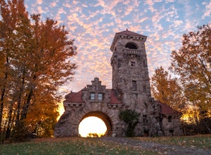
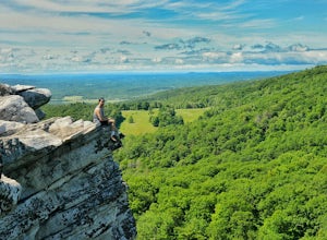
Hike Mohonk Preserve's Gatehouse to Skytop Tower
5.09 mi / 1268 ft gainBegin at the intersection of Gatehouse Rd and Mohonk Private Rd. There is a small shoulder to park on here. Begin hiking into the preserve along the gatehouse road. There will be signs stating you need a membership or pass to enter. Don't worry about these, there will be a place on the trail ...Read more -
Sandyston, New Jersey
Explore the Sussex County Sunflower Maze
5.03 miI stumbled upon the Sunflower Maze by accident when I was driving through NJ and was quickly distracted by the enormous yellow flowers. So of course, I had to check it out! It opens at 9AM and last admission is at 6PM. The maze is only open from around August to October for the flower bloom. 3...Read more -
High Falls, New York
Mohonk Mountain House Labyrinth and Lemon Squeeze Hike
4.5Mohonk Mountain House is a historic resort located just outside the Catskills in the Hudson Valley just 90 miles north of New York City. With 85 miles of winding trails throughout the Mohonk Preserve, you'll have endless hiking options upon your arrival.Parking at the Gatehouse is limited, so be ...Read more -
Milford, Pennsylvania
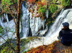
Explore Raymondskill Falls
4.00.6 mi / 178 ft gainThis waterfall is just a short walk away from the main parking lot.Just a .30 mile hike will take you to a gorgeous three-tiered waterfall. There are platforms providing viewing areas to the falls.Raymondskill Falls is located in the northern portion of the Delaware National Water Gap Recreationa...Read more -
Milford, Pennsylvania
Hike to Cliff Park Ridge
5.06.4 mi / 700 ft gainThis 6.4 mile out-and-back trail (2.7 miles each way) is an excellent trail for those looking to spend an early morning or afternoon outside without the strenuousness of all-out mountain hiking. Throughout the entire hike, there is only 700 ft. of elevation gain. Don't let this turn you away if y...Read more -
Sandyston, New Jersey
Hike the AT to Culvers Lookout Tower
3.2 miStart your journey in Stokes State Forest at the Culver Gap Parking Lot, located at 41.180239, -74.787954. From the parking lot, jump on over to the Appalachian Trail and hike Northbound. You know you're headed the right way if you are going away from the small town and cross over Sunrise Mountai...Read more -
Rockaway, New Jersey
Hike the Timberbrook Pond - Riley's Rise Loop
5 mi / 500 ft gainThe trailhead parking is at the end of Timberbrook Road, before the road enters Camp Winnebago (Boy Scouts). I hiked this in a clockwise directions starting on the Timberbrook Trail (yellow markers). After about 1 mile the trail ends at a junction with the Four Birds Trail (white markers). Turn...Read more -
High Falls, New York
Scramble Bonticou Crag and Table Rocks
4.5This is not a hike for the inexperienced. There is a very steep rock scramble that has some dangerous section if you are not aware of your footing and positioning. For those up to the challenge, it is extremely rewarding at the top.To start, each person has to pay $12 to access the Monhonk Preser...Read more -
Dingmans Ferry, Pennsylvania
Canoe and Camp in the Delaware Water Gap
4.7This is one of those easy, simple and truly relaxing adventures you can embark on this summer. Thanks to outfitters such as Kittatinny Canoes you'll have everything ready for you when you arrive, minus of course your camping gear. They will pick you up at the destination of your choice along the ...Read more -
Carmel Hamlet, New York
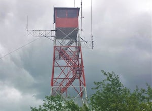
Ninham Mountain Fire Tower
5.01.23 mi / 367 ft gainThis is more of a stroll than a hike, which is nice because you can add it to another hike in the same day if you're in the area. From the dirt parking lot take the trail off to the right. Just stay straight and in about 15 minutes you'll see a huge fire tower (hard to miss). Feel free to climb a...Read more -
Dingmans Ferry, Pennsylvania
Explore Dingmans Falls
3.80.4 miThe waterfall is about 0.2 miles into the hike. I would recommend going to the very top of the biggest waterfall towards the end of the hike, there are steps leading up to it! There's also a hidden water hole at the very top of the waterfall about 0.2 miles up stream, I saw people in it during th...Read more -
Dingmans Ferry, Pennsylvania
Explore George W Child's Park
4.01.4 mi / 144 ft gainOnce parked, enter the trailhead and follow the trail down Dingmans Creek to the first set of falls. Try taking pictures from off the trail to the right of these falls. Continue on to the second waterfall and again step off the trail to take pictures from the right side of the waterfall, if you d...Read more -
Dingmans Ferry, Pennsylvania
Hike to Indian Ladder Falls Along Hornbecks Creek
3.52 mi / 400 ft gainFor some time, the trail was eroded above the first falls on Hornbecks Creek, not allowing hikers to access the creek's upper falls if they were coming upstream from Route 209. I am writing this in June 2017 and that is no longer the case! You can hike from Rt. 209 all the way up the creek to Eme...Read more -
Paterson, New Jersey
Explore the Great Falls of the Passaic River
3.2Getting to the Great Falls of the Passaic River is a relatively straight shot. It is located off exit 57B on Route 80 which is also accessible from highway 287. Parking is located on McBride Avenue across the street from the park's welcome center.Typically during autumn park rangers offer 45 to 1...Read more -
Lehman township, Pennsylvania
Hike to Hornbeck's Creek Waterfall
4.31.2 miGPS Coordinates: 41.187148,-74.885454Driving Directions: From 209, enter into the Delaware Water Gap and in between the 10 and 11 mile markers you will see a sign for Hornbecks Creek with a gravel road adjacent to it. Follow the road back until you reach the parking lot and the trail will be to t...Read more -
Closter, New Jersey
Hike Alpine White Trail (Stateline Lookout)
5.05 mi / -520 ft gainStarting at about 520 feet, the White path takes you along the Stateline Lookout which is a small stone building overlooking the Hudson River. The initial descent is your average hike through the woods and across a couple of wooden bridges until you reach the Giant Steps. The Giant Steps take you...Read more

