Ellenville, New York
Looking for the best photography in Ellenville? We've got you covered with the top trails, trips, hiking, backpacking, camping and more around Ellenville. The detailed guides, photos, and reviews are all submitted by the Outbound community.
Top Photography Spots in and near Ellenville
-
Stanfordville, New York
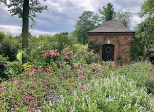
Explore Wethersfield Estate & Gardens
The Wethersfield Estate is a beautiful estate and property located less than 2 hours north of New York City. The gardens are expansive and extremely beautiful, open to the public each day from noon to 5pm (COVID-19 hours). Additionally, there are trails for horseback rides, carriage rides, dog-wa...Read more -
Dingmans Ferry, Pennsylvania
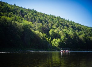
Canoe and Camp in the Delaware Water Gap
4.7This is one of those easy, simple and truly relaxing adventures you can embark on this summer. Thanks to outfitters such as Kittatinny Canoes you'll have everything ready for you when you arrive, minus of course your camping gear. They will pick you up at the destination of your choice along the ...Read more -
Dover Plains, New York
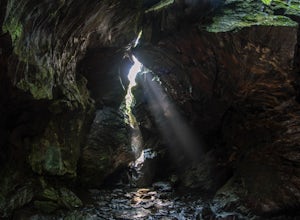
Hike Dover's Stone Church
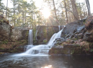
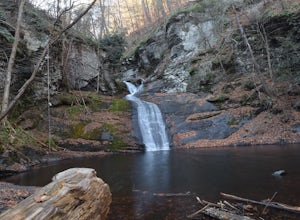
4.5Dover Stone Church has been a beautiful and popular destination in the Hudson Valley for some time, and recently the park purchased a new parcel of land and added three trails through the nearby woods. But the gem of the park is, and always will be, the impressive cave with the creek and waterfal...Read more -
Dingmans Ferry, Pennsylvania
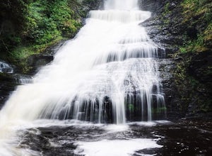
Explore Dingmans Falls
3.80.4 miThe waterfall is about 0.2 miles into the hike. I would recommend going to the very top of the biggest waterfall towards the end of the hike, there are steps leading up to it! There's also a hidden water hole at the very top of the waterfall about 0.2 miles up stream, I saw people in it during th...Read more -
Sandyston, New Jersey
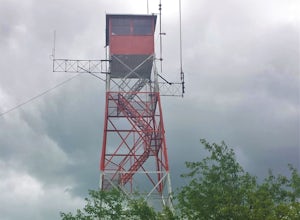
Hike the AT to Culvers Lookout Tower
3.2 miStart your journey in Stokes State Forest at the Culver Gap Parking Lot, located at 41.180239, -74.787954. From the parking lot, jump on over to the Appalachian Trail and hike Northbound. You know you're headed the right way if you are going away from the small town and cross over Sunrise Mountai...Read more -
Windham, New York
Backpack the Catskill's Escarpment Trail
32.4 mi / 8000 ft gainThe Escarpment Trail runs the length of the Catskill Escarpment. The Escarpment rises steeply from the valley below forming the northeast corner of the Catskill Mountains. It offers great views toward the Adirondack Mountains to the north and the great Hudson River to the east. The trail is moder...Read more -
Dingmans Ferry, Pennsylvania
Explore George W Child's Park
4.01.4 mi / 144 ft gainOnce parked, enter the trailhead and follow the trail down Dingmans Creek to the first set of falls. Try taking pictures from off the trail to the right of these falls. Continue on to the second waterfall and again step off the trail to take pictures from the right side of the waterfall, if you d...Read more -
89 Van Orden Road, New Jersey
Hike the Hank's Pond Loop
7 mi / 500 ft gainHank's Pond loop can be accessed from the south at the corner of Clinton road and Van Orden road or from the north, parking at the lot on Stephens road. I hiked from the south on this trip. Follow the wide trail known as Hank's East trail marked with white blazes. Soon you will reach a trail c...Read more -
Dingmans Ferry, Pennsylvania
Hike to Indian Ladder Falls Along Hornbecks Creek
3.52 mi / 400 ft gainFor some time, the trail was eroded above the first falls on Hornbecks Creek, not allowing hikers to access the creek's upper falls if they were coming upstream from Route 209. I am writing this in June 2017 and that is no longer the case! You can hike from Rt. 209 all the way up the creek to Eme...Read more -
Jefferson, New Jersey
Thru Hike the Four Birds Trail
19 mi / 1200 ft gainThe Four Birds Trail is about 19 miles long and is a great thru hike or can be done in sections as out and back hikes or part of loop hikes with other trails. Starting from the north, the trail ascends gradually over easy terrain until you reach a cliff ridge. There are several good view points...Read more -
Lehman township, Pennsylvania
Hike to Hornbeck's Creek Waterfall
4.31.2 miGPS Coordinates: 41.187148,-74.885454Driving Directions: From 209, enter into the Delaware Water Gap and in between the 10 and 11 mile markers you will see a sign for Hornbecks Creek with a gravel road adjacent to it. Follow the road back until you reach the parking lot and the trail will be to t...Read more -
New Fairfield, Connecticut
Hike Squantz Pond Trail
2.2 mi / 321 ft gainThe hike is rated as moderate and is accessible all year round. While it’s accessible during all seasons, the sights of the leaves changing colors in the autumn makes it an exceptionally beautiful time to do this hike. You’ll definitely want to snap some photos along the way of the foliage reflec...Read more -
Rockaway, New Jersey
Hike the Timberbrook Pond - Riley's Rise Loop
5 mi / 500 ft gainThe trailhead parking is at the end of Timberbrook Road, before the road enters Camp Winnebago (Boy Scouts). I hiked this in a clockwise directions starting on the Timberbrook Trail (yellow markers). After about 1 mile the trail ends at a junction with the Four Birds Trail (white markers). Turn...Read more

