Denning, New York
Top Spots in and near Denning
-
Cold Spring, New York
Hike the Cornish/Brook/Notch/Washburn/Undercliff Loop
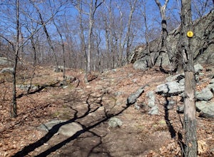
8 mi / 1500 ft gainThis loop is a great option to avoid crowds on the west side of the Washburn trail. Start at the same trailhead for the Washburn Trail. The Cornish Trail is on the left and there is an obvious sign at the trail split a few feet from the parking area. The Cornish Trail is an old road from about...Read more -
Cold Spring, New York
Mt. Taurus (Bull Hill)
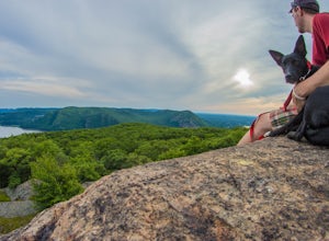
4.53.52 mi / 1375 ft gainMt. Taurus (or Bull Hill) is a short, family and dog friendly, hike just outside the town of Cold Spring, easily accessible by car or taking the train into town. It snakes along the edge of an old quarry that is just now being retaken by nature and provides lookouts towards the Hudson, other near...Read more -
Monroe, New York
Hike the Jessup/Highlands/Long Path Trails
7.8 mi / 500 ft gainThis trails starts at a small park in Woodbury called Gonzaga Park. Closed from mid-November to April, you are still able to park just outside the gate if that is the time of year you are hiking. Three different trail names share this path. The Jessup trail starts/end at Gonzaga Park and trave...Read more -
Cold Spring, New York
Kayak the Hudson River in Cold Spring
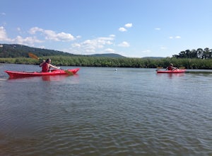
North of New York City by 90 minutes lies the town of Cold Spring in the Hudson Valley. Cold Spring has a hometown quality with a Main Street, a firehouse, and art galleries of local artists. Despite its proximity to NYC, locals maintain a slower pace and enjoy many outdoor activities. Just a sho...Read more -
Barryville, New York
Camp at Kittatinny Campground
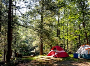
This campground is perfect for a group of friends that want to spend a couple days outdoors camping!With 350 campsites, there are many different types of sites available: from sites with electricity to sites 3 miles from the main camp. Decide how intense (or not intense) you and your group want ...Read more -
Cold Spring, New York
Hike the Perkins/Fahnestock/Charcoal Burners Trail Loop
7.5 mi / 800 ft gainThis is one of my favorite hikes in the Clarence Fahnestock State Park. A real mixed bag but mostly very enjoyable. The trail starts at the Charcoal Burners Trailhead Route 301. There is only road side parking on a soft shoulder, both sides of the road. After a short walk into the forest, you re...Read more -
Cold Spring, New York
Photograph Indian Brook Falls
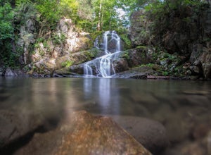
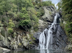
2.8This is about as short a walk and as little effort as you can put in for a beautiful waterfall. You can barely call it a hike, but I'll list it as such since you do walk through the woods for 5 minutes. The trail is extremely well built, and is pretty easily accessible through the winter.The trai...Read more -
Hudson, New York
High Falls Conservation Area Loop
1.41 mi / 194 ft gainHigh Falls Conservation Area Loop is a loop trail that takes you by a waterfall located near Philmont, New York.Read more -
Dover Plains, New York
Hike Dover's Stone Church
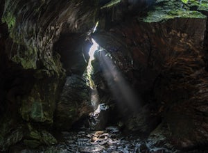
4.5Dover Stone Church has been a beautiful and popular destination in the Hudson Valley for some time, and recently the park purchased a new parcel of land and added three trails through the nearby woods. But the gem of the park is, and always will be, the impressive cave with the creek and waterfal...Read more -
Hopewell Junction, New York
Beaver Pond via Appalachian Trail
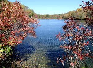
5.03 mi / 400 ft gainBeaver Pond is a small body of water created by a dam that was constructed during the days of iron ore mining in the area. The pond is crystal clear and has a wonderful tree line right on the water. The best time to visit here is early morning in the fall. With the leaves changing color they m...Read more -
Hopewell Junction, New York
Lake Canopus Viewpoint
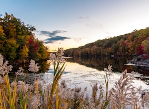
4.02.07 mi / 148 ft gainIts a great place to explore as it has a beautiful calm lake especially in the fall, the reflection of the water and the awesome colors are unbelievable. Its a short hike but you certainly could go further up. Parking is free by the road, hike towards the lake about a mile or so. The sound of bi...Read more -
Sussex, New Jersey
Camp at High Point State Park
4.0You'll need at least a weekend to sample all that High Point State Park has to offer. One of the park's must-do hikes is to High Point Monument (1,803 ft), where you have panoramic views of the Pocono and Catskill Mountains, and the Wallkill River Valley. Additionally, there are 50 total miles of...Read more -
Wantage, New Jersey
Hike the Iris Tail - Appalachian Tail Loop
4.09 mi / 1000 ft gainStart this hike from the Appalachian Trail parking area off route 23, south bound side, south of the park office. Follow the Blue Dot trail until is intersects with the Iris Trail. The Iris Trail (marked with red blazes) is a through hike that is about 5 miles long. It parallels the Appalachian T...Read more -
Kent, New York
King's Chamber and Moose Hill Loop
3.14 mi / 499 ft gainKing's Chamber and Moose Hill Loop is a loop trail that takes you by a lake located near Carmel, New York.Read more -
Highland Falls, New York
Popolopen Torne
4.51.18 mi / 531 ft gainPopolopen Torne is a hidden gem in the Hudson Valley, a surprisingly unknown trail with a beautiful payoff and a far deeper meaning. A short hike to the top puts you at the foot of a memorial to those who have served their country, a pile of painted rocks carried up by those who want to pay their...Read more -
Philipstown, New York
Anthony's Nose via Appalachian Trail
4.61.95 mi / 682 ft gainParking for the trail runs along both sides of 9D right up until the Bear Mountain Bridge. It can be busy on the weekends so just make sure you're as far off the road as you can and be especially careful unloading kids and dogs. The trailhead is located at approximately 41.322571, -73.975949 and ...Read more

