Chesterfield, New York
Looking for the best hiking in Chesterfield? We've got you covered with the top trails, trips, hiking, backpacking, camping and more around Chesterfield. The detailed guides, photos, and reviews are all submitted by the Outbound community.
Top Hiking Spots in and near Chesterfield
-
Stowe, Vermont
Hike to Bingham Falls
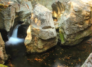
4.00.5 miHiking to Bingham Falls is rewarding for many reasons; people not only come to see the falls, but also to swim in the refreshing, icy cold swimming holes as well. The main falls are tucked away along the walls of a deep, rocky gorge that has been formed naturally over time. At the base of these ...Read more -
Warren, Vermont
Explore Warren Falls
5.00.25 miWarren Falls is a popular local swimming hole just outside of Warren, VT on Route 100. You can access the falls by driving south on Route 100 from Warren (it's 3.5 miles south on the right hand side) or north from Granville on Route 100. The parking lot is clearly marked with a sign and ample par...Read more -
Waterbury Center, Vermont
Hike Mt. Hunger
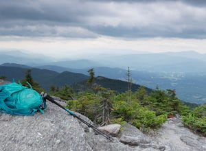
5.04.2 mi / 2263 ft gainMt Hunger stands at 3540 ft and face Vermont's tallest mountain, Mt Mansfield. At 45 min drive from Burlington, this is a challenging out and back hike. The views it offers and the waterfalls you will find along the path, makes it a good alternative to the overcrowded trails of Mt Mansfield. Th...Read more -
Lake Clear, New York
Hike to the Summit of Ampersand Mountain
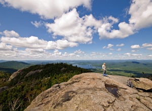
4.55.2 mi / 1775 ft gainAmpersand Mountain is part of the Saranac Lake 6er Hiking Challenge. It is one of six mountains surrounding Saranac Lake. The trail starts just across the street from the parking area. Though there is ample parking it can full up on a good day as it is a popular hike. The trail begins over most...Read more -
Lake Clear, New York
Relax at Ampersand Beach
1.1 mi / 20 ft gainLocated across from the Ampersand Mountain trailhead on NY Route 3, a trail will take you a short walk (about a half mile) to this beautiful, quiet beach on the shores of Middle Saranac Lake. Starting at the trailhead, you will continue along an unmarked but clear footpath that trails through the...Read more -
Ticonderoga, New York
Hike to Lost Pond
3.9 mi / 260 ft gainFrom the parking area, follow the trail from the back of the parking area. Very quickly you will hike up to a trail register. The trail is mostly flat with a few inclines and is very well beaten. There are also yellow plastic trail markers to keep you on track. After 1.4 miles you'll reach the ju...Read more -
Salisbury, Vermont
Camp at Lake Dunmore
The campground office for Branbury state park is on the opposite side of Route 53 from the pin on the map here, but the best campsites are where the pin is. Start by going and talking to the rangers at the office, they are super friendly and very helpful for recommendations of hikes or things to...Read more -
Hancock, Vermont
Hike at Texas Falls Recreation Area
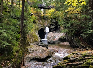
5.01 mi / 209 ft gainDirectly across from the main parking area are the viewing access points of Texas Falls. A footbridge crosses high above the flume and gorge, offering the best views. Crossing the bridge, there are plenty of other great view points with wooden railings keeping you away from the steep drops. ...Read more -
Saranac Lake, New York
Camp at Fish Creek Pond
4.7Located in the Saranac Lake region there is a natural sand shoreline and water access for most campsites. There are countless rivers and ponds which allow use of motorized and non-motorized boats. The campsites are ideally located on Fish Creek Pond and Square Pond. The campsite offers a beac...Read more -
Wolcott, Vermont
Hike to Elmore Mountain Fire Tower
4.05.6 mi / 1485 ft gainIf hiking in off season when the park is closed, begin from the lower parking lot or the "day use area". If hiking while the park is open you can drive to the upper parking lot (subtract about 1.4 miles from total distance)Beginning from the lower parking lot make you way through the gate and int...Read more

