Argyle, New York
Looking for the best hiking in Argyle? We've got you covered with the top trails, trips, hiking, backpacking, camping and more around Argyle. The detailed guides, photos, and reviews are all submitted by the Outbound community.
Top Hiking Spots in and near Argyle
-
Mendon, Vermont
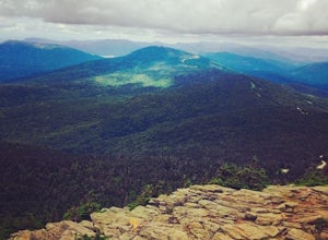
Hike to Killington Peak
5.03.4 miThe trail head (Bucklin Trail) is found a couple of miles up Wheelerville Road on the left. Wheerlerville is a dirt road that will be muddy in the spring and summer. The drive is long enough that you will think you did something wrong, but you haven't! the trail head will eventually pop up.The tr...Read more -
Williamstown, Massachusetts
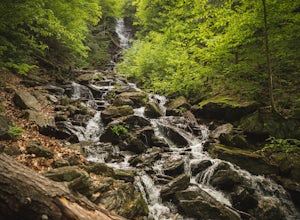
Hike Mt. Greylock via Money Brook Trail
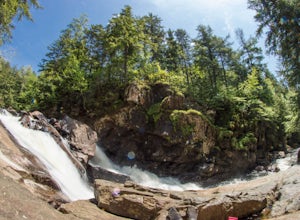
9.7 mi / 3034 ft gainPark in the parking lot on Hopper Rd. Walk to the end of the road where you will find the Hopper Trailhead. Take the right fork. The Money Brook trail will take you to a waterfall, the Mt. Greylock summit, and back to the end of Hopper Rd. The trail is long but worth the hike, exploring parts of ...Read more -
Williamstown, Massachusetts
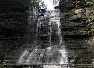
Hike the March Cataract Falls Trail
4.02.2 mi / 511 ft gainPark at the Junction of Sperry Rd and Rockwell Rd. To get to the trailhead, hike along Sperry Road for about 30 minutes. (Not to the end of the road, see map below.) Then hike along the March Cataract Trail, an out-and-back. You can bring dogs on leash. The trail is short but steep in some parts ...Read more -
Schenectady, New York
Hike Plotter Kill Preserve
4.35.5 mi / 820 ft gainThere are a few entries into the preserve' however, this hike has you entering off of Mariaville Road. There is a kiosk here and you will enter on the Red trail. Shortly after you can go out and back on the Blue trail to view the Upper and Lower Falls from lookouts above. Once back to the Red t...Read more -
Albany, New York
Blueberry Hill East
1.73 mi / 59 ft gainBlueberry Hill East is a loop trail where you may see beautiful wildflowers located near Albany, New York.Read more -
Albany, New York
Blueberry Hill West Red and Yellow Trail
1.37 mi / 52 ft gainBlueberry Hill West Red and Yellow Trail is a loop trail where you may see beautiful wildflowers located near Albany, New York.Read more -
Ticonderoga, New York
Hike to Lost Pond
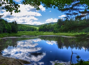
3.9 mi / 260 ft gainFrom the parking area, follow the trail from the back of the parking area. Very quickly you will hike up to a trail register. The trail is mostly flat with a few inclines and is very well beaten. There are also yellow plastic trail markers to keep you on track. After 1.4 miles you'll reach the ju...Read more -
North Creek, New York
Hike Gore Mountain
5.010 mi / 3040 ft gainYou will start this hike following the blue blazed Schaefer trail. Though the sign shows 5.8 miles to the summit it is actually only 5.0 miles. Much of the way you follow Roaring Brook which has many waterfalls along the way. Just after the North Creek Reservoir you will get your first glance at...Read more -
Appalachian Trail, Vermont
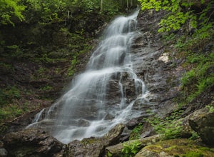
Hike to Thundering Brook Falls
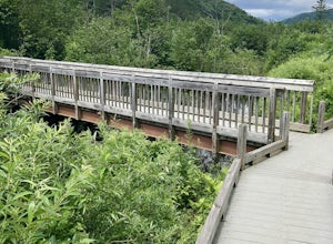
4.50.4 mi / 29 ft gainThe hike to Thundering Brook Falls is kid friendly and fun for the whole family. At only .4 miles roundtrip, this is an excellent quick workout. Dogs are allowed on this trail but must be kept on leash. This trail is hiked year-round but is best used in the spring, summer, or during fall colors.Read more -
Wells, New York
Hike to Auger Falls
4.0Augers Falls is a not so well kept secret in the Wells/Speculator area of the Adirondacks. It's usually not very crowded but the people that go to take it in come from far and wide. It's an easy family friendly hike (and that includes furry family, just keep them on leash) that offers some fantas...Read more -
Savoy, Massachusetts
Tannery Falls Loop
0.54 mi / 135 ft gainThe hike to Tannery Falls may be a little confusing, I'll clear it up for you before you even go there! To get to The falls you will travel down a dirt road that isn't very well maintained during the winter. As you keep driving down the dirt road you will notice a pond , which means you are almos...Read more -
Altamont, New York
Hike through the Wolf Creek Falls Preserve
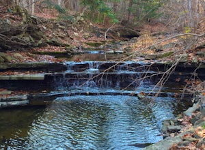
3.03 mi / 200 ft gainOver 3 miles of trails provide access to all parts of the preserve, and end up winding through mixed terrain including a wetland, waterfalls, and old stone walls. The property crosses the Bozenkill Road at two points on either side of private parcels (with beautiful homes), so be vigilant there; ...Read more -
East Nassau, New York
Kinderhook Creek
5.01.62 mi / 308 ft gainKinderhook Creek is a loop trail that takes you by a river located near Stephentown, New York.Read more -
368 Weathersfield Trail, Vermont
Hike Mount Ascutney
3.05.2 mi / 2326 ft gainThis route to the top of Mount Ascutney is completed via the Weathersfield Trail. This trail goes past gorgeous Cascade Falls - often frozen in the winter months. There is a great spot to eat lunch at the top of Mount Ascutney to the side of the hang glider landing. While the summit itself does n...Read more -
Voorheesville, New York
Hike the Indian Ladder Trail
4.53.5 mi / 200 ft gainThere are many parking areas within the park. Park at the overlook parking. From here you head west following the wood fence. This is the Cliff Top trail. Approximately after walking 0.5 miles you will reach the stairs that will lead you to the base of the cliffs. This marks the start of the...Read more

