Ancram, New York
Looking for the best hiking in Ancram? We've got you covered with the top trails, trips, hiking, backpacking, camping and more around Ancram. The detailed guides, photos, and reviews are all submitted by the Outbound community.
Top Hiking Spots in and near Ancram
-
Cold Spring, New York
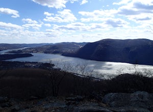
Breakneck Ridge Loop
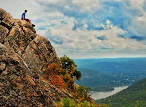
5.05.91 mi / 1526 ft gainThis short but steep loop hike in Hudson Highlands State Park offers multiple panoramic views of the Hudson River along the way. Please note that only experienced hikers should attempt this route – although the hike seems short, the elevation gain and steep rocky scrambles offer serious technical...Read more -
Voorheesville, New York
Hike the Indian Ladder Trail
4.53.5 mi / 200 ft gainThere are many parking areas within the park. Park at the overlook parking. From here you head west following the wood fence. This is the Cliff Top trail. Approximately after walking 0.5 miles you will reach the stairs that will lead you to the base of the cliffs. This marks the start of the...Read more -
Cragsmoor, New York
Sam's Point, Ice Cave Trail, Verkeerderkill Falls
4.96.99 mi / 1063 ft gainLocated in Sam's Point Preserve, this hike has three major attractions – panoramic views from Sam's Point, mysterious and chilly Ice Caves, and a knee-weakening perch atop Verkeerderkill Falls. Pay attention to seasonal conditions before making this trip. Spring and early summer are best for see...Read more -
Cragsmoor, New York
Sam's Point Overlook to Ice Cave Trail
3.47 mi / 584 ft gainSam's Point Overlook to Ice Cave Trail is an out-and-back trail with scenic views near Lake Maratanza located near Ellenville, New York. This trail is dog friendly on-leash.Read more -
Simsbury, Connecticut
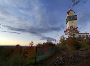
Hike to the Heublein Tower on Talcott Mountain
4.32.54 mi / 404 ft gainThe Heublien Tower Trail, located just inside the Talcott Mountain State Park entrance off of Route 185 in Simsbury CT, is a short 1.25 miles. While the hike isn't long, the first 1/3 of a mile is a steep incline that will get your heart pumping. The trail itself it very well kept, and although ...Read more -
Cold Spring, New York
Hike the Washburn/Nelsonville/Undercliff Loop
7.2 mi / 2000 ft gainThis is a difficult loop hike that has several different starting points. I chose to start at the Washburn Trail Head, which is the lowest starting point you can select. Nearly on the Hudson River, the trail ascends immediately along a well maintained road designated by white disc markers. Aft...Read more -
Cold Spring, New York
Hike the Cornish/Brook/Notch/Washburn/Undercliff Loop
8 mi / 1500 ft gainThis loop is a great option to avoid crowds on the west side of the Washburn trail. Start at the same trailhead for the Washburn Trail. The Cornish Trail is on the left and there is an obvious sign at the trail split a few feet from the parking area. The Cornish Trail is an old road from about...Read more -
Williamstown, Massachusetts
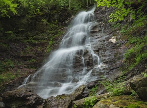
Hike the March Cataract Falls Trail
4.02.2 mi / 511 ft gainPark at the Junction of Sperry Rd and Rockwell Rd. To get to the trailhead, hike along Sperry Road for about 30 minutes. (Not to the end of the road, see map below.) Then hike along the March Cataract Trail, an out-and-back. You can bring dogs on leash. The trail is short but steep in some parts ...Read more -
Cold Spring, New York
Mt. Taurus (Bull Hill)
4.53.52 mi / 1375 ft gainMt. Taurus (or Bull Hill) is a short, family and dog friendly, hike just outside the town of Cold Spring, easily accessible by car or taking the train into town. It snakes along the edge of an old quarry that is just now being retaken by nature and provides lookouts towards the Hudson, other near...Read more -
Albany, New York
Blueberry Hill East
1.73 mi / 59 ft gainBlueberry Hill East is a loop trail where you may see beautiful wildflowers located near Albany, New York.Read more -
Albany, New York
Blueberry Hill West Red and Yellow Trail
1.37 mi / 52 ft gainBlueberry Hill West Red and Yellow Trail is a loop trail where you may see beautiful wildflowers located near Albany, New York.Read more -
Cornwall-on-Hudson, New York
Hike the Stillman - Bluebird Loop
5.4 mi / 1200 ft gainThis loop hike starts at the northern trailhead of the park where the Stillman Trail begins. The parking area has enough space for only 6 or 7 cars. Start off on a wide maintained carriage road. After about a half mile, the Stillman Trail (yellow markers) breaks of to the left. However, stay ...Read more -
Cold Spring, New York
Photograph Indian Brook Falls
2.8This is about as short a walk and as little effort as you can put in for a beautiful waterfall. You can barely call it a hike, but I'll list it as such since you do walk through the woods for 5 minutes. The trail is extremely well built, and is pretty easily accessible through the winter.The trai...Read more -
Cornwall, New York
Hike the North Point Loop
6.5 mi / 1400 ft gainThere is three different trailheads to access the North Point Loop. I chose the trailhead that would give me the longest hike. That would be the Butter Hill parking area on Route 9W north. From the parking lot, start on the connector trail designated with white markers. Follow this for about ...Read more -
Cornwall, New York
Storm King Mountain Loop
4.52.44 mi / 400 ft gainThis is an easy, yet very rewarding hike with a lot of viewpoints on the way up. Technically you scale up two mountains, Butter Hill and Storm King, but most people just describe it as Storm King Mountain. This is a great hike for families with younger kids, those who don't have much time but wan...Read more -
Williamstown, Massachusetts
Hike Mt. Greylock via Money Brook Trail
9.7 mi / 3034 ft gainPark in the parking lot on Hopper Rd. Walk to the end of the road where you will find the Hopper Trailhead. Take the right fork. The Money Brook trail will take you to a waterfall, the Mt. Greylock summit, and back to the end of Hopper Rd. The trail is long but worth the hike, exploring parts of ...Read more

