Las Cruces, New Mexico
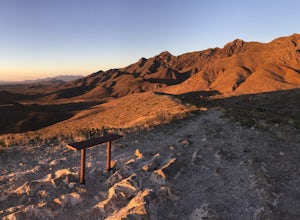
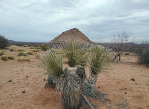
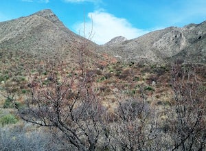
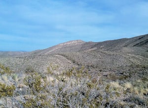
Looking for the best hiking in Las Cruces? We've got you covered with the top trails, trips, hiking, backpacking, camping and more around Las Cruces. The detailed guides, photos, and reviews are all submitted by the Outbound community.
Top Hiking Spots in and near Las Cruces
-
Vado, New Mexico
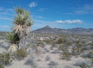
Hike the Sierra Vista Trail from Vado to Bishop's Cap
4 miStart your hike from the Sierra Vista parking lot. Proceeded NE toward Bishops Cap. At first, the trail goes through some small arroyos and is a little rocky. After about half a mile, the trail is rather flat and goes through some sandy and grassy areas. Enjoy good views of the mountains!Read more -
16085-16107 North Valley Drive, New Mexico
Explore Foster Canyon.
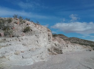
2 mi / 300 ft gainFoster canyon is along hwy NM 185 near Buckle Bar Canyon and Faulkner canyon. It is a fairly easy walk in a sandy arroyo. There some interesting rock formations there. Also by climbing some of the hills off the arroyo you will have some good views of the surrounding mountains.Read more -
Las Cruces, New Mexico
Hike Buckle Bar Canyon
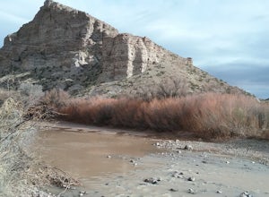
3 mi / 500 ft gainHiked the canyon after having crossed the Rio Grande in the winter, very little water in the river. I climbed several mountains with very good views of the mountains around us. Many great cacti can be seen here. Hiked about 3 miles round trip. Best hiked in the winter or spring.Read more -
Unnamed Road, New Mexico
Hike the Aden Crater Trail
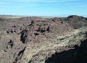
1.9 mi / 187 ft gainDrove fro El Paso to the crater in the Potrillo Wilderness Study area a on a series of county dirt roads. Some of the roads are quite rough. Interesting place to explore. Deep crater and large lava fields. Good views of the surrounding plains. The place is very isolated and quiet. Best to get a m...Read more -
CanAm Highway, New Mexico
Explore the Tonuco Mountain
4 mi / 800 ft gainTo get to Tonuco Mountain North of RadiumSprings , NM from Las Cruces, NM take Interstate 25 to exit 32. Once off the interstate turn left on go under the interstate. Take the first dirt road to your left and drive to the top of the canyon. If you have a 4 wheel drive vehicle you can descend into...Read more -
Rincon, New Mexico
Rincon Petroglyphs
2 mi / 500 ft gainStarted my journey right after I park on the dirt that passes under the interstate. Headed north up the hill passed an old mine and continued until I reached the arroyo. Climbed around the arroyo to see the different petroglyphs. Good views of the Rio Grande valley below.Read more -
El Paso, Texas
Hike the Lower and Upper Foothills Trails
8 mi / 500 ft gainHike both trails and enjoy some very good views of the Franklin Mountains and the abundance of wildflowers particularly at the end of the summer. In the fall, enjoy the many beautiful grasses. The trails are not too steep but long and are a pleasure to hike in sections. Bikers would not have any...Read more -
El Paso, Texas
Hike the Schaeffer Shuffle Trail
2.6 mi / 691 ft gainThis a scenic but steep trail. Start on the SE turn off and followed the arroyo. After a while, the trail starts to climb up the mountain. The trail is rocky in places, but offers excellent views of the Franklin Mountains. On your descent on the NW side, you will have great views of the Avispa Ca...Read more -
El Paso, Texas
Upper Sunset Trail
5.02.81 mi / 581 ft gainThe trick to this view is that the park gate closes at 5 pm. Therefore you have two options: Option 1Park at the entrance of the park (outside of the gate) and hike into the park. From there walk along the road to the park entrance ($5 entrance fee) and continue to the first left road ...Read more -
Doña Ana County, New Mexico
Explore Providence Cone
4.02 miWe drove through the desert on a winding dirt road. Once at the cone we started our climb to the top. The ascent is not too difficult and once on top we had very good views of the surrounding landscape. Lots of interesting rock formations and also plants. There are several interesting petroglyp...Read more -
El Paso, Texas
Aztec Cave Trail
0.66 mi / 164 ft gainStart your hike from the parking lot and cross an arroyo to start your ascent to the cave. The trail climbs steadily but not difficult to hike. There are benches along the way if you need to rest your legs. The caves are small but interesting and from the caves you have very good views of the sta...Read more -
El Paso, Texas
Hike the Lower Sunset Trail
7 mi / 1043 ft gainI have hiked this trail several times but only in sections since it is so long. You can start from either the south parking or the north parking lot. I'd suggest leaving a car at both if possible so you can hike point-to-point if you want a shorter, 3.5 mile hike. The trail has very good views of...Read more -
El Paso, Texas
Hike to North Franklin Peak
5.08 mi / 2100 ft gainEl Paso is a sprawling city that is remarkably split by the Franklin Mountains. By driving up the Transmountain Road you can get a view of city, but stopping at Franklin State Park and climbing the North Franklin Mountain Peak you can top the city! To start, enter Franklin State Park and pay the ...Read more -
El Paso, Texas
Mundy's Gap Trail
3.36 mi / 1161 ft gainYou can start hiking the trail either from the West side or East side. I started on the West side at the Agave Trail. The climb up the mountain is not too hard and offers good views of the mountains. There are some very interesting rock formations on the east side. You can continue the trail to t...Read more -
El Paso, Texas
Hike to West Cottonwood Springs Trail
1.6 mi / 781 ft gainStart your hike from the west cottonwood trail parking lot and ascend through some nice desert vegetation. The trail is rather rocky and has lots of loose rocks so step carefully. You'll pass by the old copper mine and then proceeded up the steep arroyo to the spring and cottonwood trees for very...Read more -
El Paso, Texas
Hike the Agave Loop Trail
1.9 mi / 370 ft gainStart your hike at the West Cottonwood trail parking lot. The ascent on the trail is not too difficult. First the trail will take you to the top of the Sneed Cory with good views of the State Park. After that, continue up the mountainside, which has with lots of sotols and agaves as well as many ...Read more

