Costilla, New Mexico
Top Spots in and near Costilla
-
El Prado, New Mexico
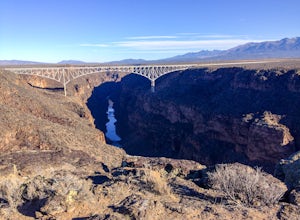
Hike the Rio Grande Gorge Bridge Trail
6 miDrive 12 miles west of Taos, New Mexico on US Hwy 64, and you'll drive directly onto the Rio Grande Gorge Bridge that spans 1,280 feet. There's a rest area to the west of the bridge with a parking lot, sitting area, and if you're lucky like we were, a converted sky blue bus selling homemade desse...Read more -
Colfax County, New Mexico
Hike to Clear Creek in Cimarron Canyon State Park
4.02.5 mi / 1000 ft gainHead North from Eagle Nest towards Cimarron, and about 7 miles (or less) on your right hand, you will find two big signs with a parking area on both sides of the road. If you park on the right side, walk on the inside of the guardrail until you find the trail head sign. If you parked on the left ...Read more -
Aguilar, Colorado
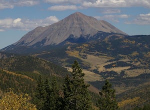
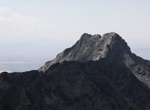
Hike West Spanish Peak
5.07.2 mi / 2.38 ft gainThe West Spanish Peak is best reached by way of CO Hwy 12, which connects south and west through the town of La Veta, Colorado. From Denver travel I-25 south to Walsenburg (about 3.5 hours). At Walsenburg take US 160 to CO 12 southwest through the towns of La Veta and Cuchara.Cordova Pass Trailhe...Read more -
Lake Como Trailhead, Colorado
Summit Blanca and Ellingwood Peaks
7 mi / 6800 ft gainBlanca Peak is nestled at the heart (and the top) of a four peak ceiling located at the southern-most tip of Colorado's intimidating Sangre de Christo range. The peak is known for its impeccable 360 degree views, as you can see well over 100 miles in every direction thanks to Colorado's clean, c...Read more -
Taos, New Mexico
Drive the Enchanted Circle Scenic Byway
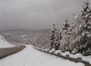
Start the drive at the Taos Plaza in downtown Taos. You can drive the whole loop and enjoy the beautiful scenery and small villages along the way. In the spring, there may still be snowfall, making the drive even more beautiful.Read more -
Mosca, Colorado
Summit Little Bear Peak
12 mi / 5000 ft gainThis hike starts on Lake Como Road with the goal of eventually reaching Lake Como. If you have a modified 4WD car you can get all the way to the lake in it, but if you do not feel like risking damage to your vehicle park as low as you deem necessary to do that. Most 4WD stock vehicles can make ...Read more -
U.S. Highway 64, New Mexico
Devisadero Peak
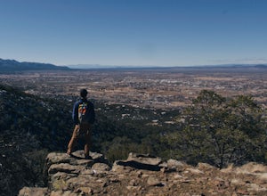
5.48 mi / 1375 ft gainThe Basics: 8,304 foot Devisadero Peak, which literally translates to "lookout," does not actually provide a great view from its treed summit. However, this lollipop loop hike has many vantage points over the Taos Valley as it snakes up and around this foothill mountain. To get to the trailhea...Read more -
Alamosa County, Colorado
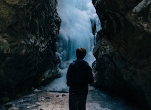
Zapata Falls
4.70.5 mi / 150 ft gainDriving towards the Sand Dunes, you will see a sign marker that indicates the road up to Zapata Falls. Turn right onto the road a follow it for about 2 miles until you hit the parking lot at the top. The road is in pretty rough condition so if your car doesn't have high clearance make sure you ta...Read more -
Gardner, Colorado
Mount Lindsey (CLOSED)
1.08.5 mi / 3300 ft gainNOTE: As of September 2021, Mount Lindsey has been closed to public access indefinitely. (Source) At 14,042 Mt. Lindsey is not one of the tallest 14ers, but it is a fun objective regardless. The Lily Lake trailhead can be somewhat difficult to access without a high clearance car, but most cars ...Read more -
La Senda de Medio Trailhead, New Mexico
Hike La Senda de Medio Trail
5 miIf you find yourself in Taos for the weekend, the La Senda del Medio trail is a perfect hike to add to your adventure. About 20 minutes south of town and located in Rio Grande del Norte National Monument, this trail follows the Rio Grande for 2.5 miles and connects 5 different campgrounds. The tr...Read more -
Hooper, Colorado
Camp at Mosca Campground
Where to camp: San Luis State Park is located 15 miles west of Great Sand Dunes National Park, San Luis State Park features views of San Luis Lake, the Great Sand Dunes and the Sangre de Cristo Mountains. The campground provides water and hot showers, which we enjoyed after a day of hiking the d...Read more

