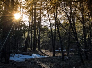
Cochiti Lake, New Mexico
Looking for the best hiking in Cochiti Lake? We've got you covered with the top trails, trips, hiking, backpacking, camping and more around Cochiti Lake. The detailed guides, photos, and reviews are all submitted by the Outbound community.
Top Hiking Spots in and near Cochiti Lake
-
Santa Fe, New Mexico
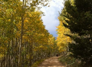
Hike or Bike Aspen Vista
3.512.1 mi / 2100 ft gainAspen Vista Road (Forest Road 150) starts at an elevation of 10,000 feet and climbs up through a large stand of beautiful aspen and pine trees to the summit of Tesuque Peak at an elevation of 12,045 feet (note the Aspen grove is one large living being as all the roots are interconnected). These ...Read more -
Cedar Crest, New Mexico
Tree Spring Trail
5.04.11 mi / 984 ft gainTree Spring Trail is an out-and-back trail where you may see beautiful wildflowers located near Sandia Park, New Mexico.Read more -
Santa Fe County, New Mexico
Santa Fe Baldy Via Windsor Trail
13.55 mi / 3140 ft gainSanta Fe Baldy Via Windsor Trail is an out-and-back trail that provides a good opportunity to view wildlife located near Santa Fe, New Mexico.Read more -
Santa Fe, New Mexico
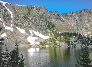
Backpack to Lake Katherine in the Pecos Wilderness
5.016 mi / 1450 ft gainAccessible June through October, snow lingers on the trail late into the summer. This is a very popular, well-marked route so if it's solitude you're seeking, you'll probably be disappointed. At least on the weekend.The trailhead is at the parking lot for Ski Santa Fe. You'll climb from 10,250 to...Read more -
Santa Fe, New Mexico
Hike to Nambé Lake
4.06.2 mi / 1800 ft gainStarting at the ski basin above Santa Fe, where parking is ample and the drive to reach it is staggeringly beautiful, you head north from the bottom of the parking lot from a well marked trailhead. The climb starts right out of the gate, and at a starting altitude of 10,000 ft above sea level yo...Read more -
Cedar Crest, New Mexico
Sulphur Canyon #281 and Cienega Horse Bypass #266 Loop
4.02.25 mi / 469 ft gainSulphur Canyon #281 and Cienega Horse Bypass #266 Loop is a loop trail that provides a good opportunity to view wildlife located near Cedar Crest, New Mexico.Read more -
Glorieta, New Mexico
Hike the Glorieta Battlefield Trail
2.25 mi / 500 ft gainThis trail is a little tricky to get to, so be sure to stop at the Pecos NHP Visitor Center first for directions. You will also need to retrieve a gate code from the ranger. I would recommend picking up a guide inside the Visitor Center so you know what you're looking at on the trail (important)....Read more -
Albuquerque, New Mexico
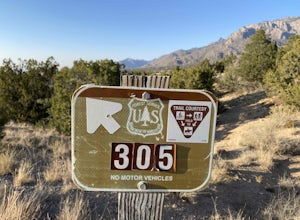
Michael M. Emery and Trail 305 Loop
5.03.17 mi / 335 ft gainThe Michael M. Emery and Trail 305 Loop in Albuquerque, New Mexico, is a moderately challenging hiking trail. It spans approximately 3.17 miles and is primarily used for hiking, walking, and nature trips. The trail is well-marked and offers a variety of terrain, including dirt paths, rocky sectio...Read more -
Albuquerque, New Mexico
Hike Embudito Canyon
4.04.2 mi / 1204 ft gainThis is a hiking area in the foothills of the Sandia Mountains. This route is a 3.9 mile heavily trafficked loop up Oso Ridge and down Embudito Canyon. There is plenty of room to park at the Embudito Trail Trail head, on the eastern side of Albuquerque. From the parking lot, take the center trai...Read more -
Pecos, New Mexico
Ancestral Sites Trail
5.01.2 mi / 89 ft gainThe park is easy to get to from Santa Fe. It's about 30 miles SE on the I-25 highway that leads you through Pecos. Once at the park, the 1.25 mile loop trail begins and ends at the visitor center. Don't forget to stop in there. It's surprisingly nice with some terrific history of the area dating...Read more -
Pecos, New Mexico
Hike the Grand Slam in Pecos New Mexico
7.5 mi / 600 ft gainPecos National Historical Park offers up the "grand slam" for hiking, which is a bit of a misnomer because they only have 3 trails and a grand slam indicates you would have completed 4 of something. In order to achieve the "grand slam" you need to hike all 3 trails in one day, completing approxi...Read more -
Pecos, New Mexico
Hike the South Pasture Loop Trail
3.8 mi / 196 ft gainThe South Pasture Loop trail, while part of the Pecos NHP, isn't in the main park. Currently, this trail is only open on the weekends and the road gate closes at 1pm. The trail itself closes at 3pm, and takes about 2-3 hours unless you plan on hiking for speed. No pets allowed. 0.7 miles down th...Read more -
Tijeras, New Mexico
Sandia Crest Trail
26.24 mi / 5528 ft gainThis point-to-point hike took me about 11.5 hours to complete, however I consider myself to be in decent hiking shape and was moving at about 2.5 miles per hour for the majority of the hike. I would give yourself ample time if you want to complete this in 1 day or you can back country primitive c...Read more -
Tijeras, New Mexico
Hike the Upper Faulty Loop
5.4 mi / 1040 ft gainLoop: South Crest Trail > Lower Faulty Trail > Upper Faulty Trail > South Crest Trail The trail starts at the Canyon Estates Trailhead along the South Crest Trail. You'll follow this trail for 0.8 miles before you reach the junction for the Lower Faulty Trail. This is the steepest part o...Read more -
Rio Arriba County, New Mexico
Backpack the Vacas Trail Loop
4.015 mi / 1000 ft gainYou start at the hiking at base of the the San Pedro Wilderness at the San Gregorio Lake Trailhead! This particular hike is called the Vacas Trail loop.For directions: Take US 550 to Cuba (north west of Albuquerque), turn east on NM 126 and go for about 9 miles. Just past the community of Deer La...Read more -
Albuquerque, New Mexico
Summit South Sandia Peak
10.78 mi / 3595 ft gain*This is a loop hike so you can go either direction. I like going counterclockwise to hike the steepest part up instead of down at the end of a long hike.* You'll start out on the Three Gun Trail for about half a mile until you reach a spur to take Hawk Watch Trail. After traveling briefly on thi...Read more

