Moultonborough, New Hampshire
Top Spots in and near Moultonborough
-
Lincoln, New Hampshire
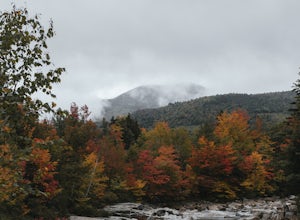
Driving the Kancamagus Highway is something you can do as a way to cross the White Mountain National Forest quickly from I-93 in the east to Conway, or it can be an entire day's activity. In the fall, it's almost impossible not to stop at every turn-off on the scenic highway as it winds through t...
Read more
-
Conway, New Hampshire
Cathedral Ledge via Bryce Path Trail is an out-and-back trail that takes you by a waterfall located near Bartlett, New Hampshire.
Read more
-
North Conway, New Hampshire
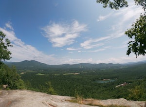
Consider this moderate hike a warm-up to some of the bigger boys in the area! We've hiked Cathedral Ledge from Echo Lake State Park in the past, but wanted something a little longer in distance & slighting more challenging. When I asked the guy manning the State Park booth for a map he said, ...
Read more
-
Conway, New Hampshire
5.0
1.33 mi
/ 190 ft gain
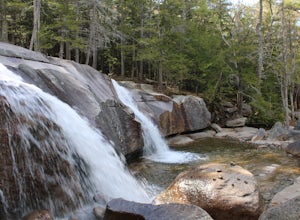
Diana's Baths is an out-and-back trail that takes you by a waterfall located near North Conway, New Hampshire.
Read more
-
Alexandria, New Hampshire
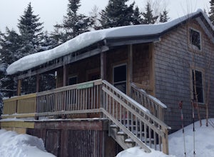
High Cabin, located in Cardigan State Forest, is owned and operated by the Appalachian Mountian Club (AMC). It was originally built in 1931 and since renovated in 2004. Renovations included a new roof, siding, bunk beds, a wood stove, and a composting toilet. It comes supplied with wood, bunks(st...
Read more
-
Hart's Location, New Hampshire
Don't let the relatively short 2.5 mile hike up Mt. Crawford fool you, you certainly work for the amazing views from the summit. Located in Crawford Notch, park in the Davis Path lot almost directly across from the Notchland Inn on Rt. 302. The trail starts by going over a footbridge crossing the...
Read more
-
Woodstock, New Hampshire
4.8
7.4 mi
/ 2400 ft gain
Mount Moosilauke is a 4000 footer located in the White Mountain Range of New Hampshire. The summit peaks at 4,802 feet with a prominence of 2,933 feet.If you're new to exploring the White Mountain range this will definitely be a great introduction to what it can offer. The Gorge Brook Trail is th...
Read more
-
Hart's Location, New Hampshire
The Frankenstein Cliff trailhead is located in Crawford Notch State Park directly off of Route 302. If you're traveling from the south (Bartlett/North Conway) the parking lot for the trailhead is on your left hand side about 12 miles from Bartlett. There are signs for Arethusa Falls/Frankenstein ...
Read more
-
Arethusa Falls Road, New Hampshire
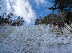
Arethusa Falls is a popular hike in the White Mountains, and come winter it is a popular spot for ice climbing. The falls are located in Crawford Notch State Park and is the tallest waterfall in New Hampshire (between 140-200 feet). Following the Bemis Brook Trail to Arethusa Falls will add a few...
Read more
-
Lincoln, New Hampshire
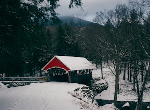
The Flume Gorge in Franconia State Park is beautiful year round and every season has it's unique benefits. During the summer, the Flume is a highly frequented tourist destination and is usually crowded with groups of kids and families. Technically, the Gorge is closed during the winter and there ...
Read more
-
Lincoln, New Hampshire
For the point to point option first drop a car off at one end of the trail then return to the other. The south end is located at the Flume Gorge Parking lot and the north end is at a parking lot located about a half mile off Route 93, Exit 35 which takes you onto route 3 (44°12'11.3"N 71°40'51.7...
Read more
-
Benton, New Hampshire
The trailhead is located along Lost River Road. There is a $5.00 day use parking pass required. The trail starts off on the Beaver Brook Trail (also the Appalachian Trail). The trail consists of cascades of rocks, wood-block steps and metal rungs (not all entirely in tact). It is very often ...
Read more
-
Orange, New Hampshire
Cardigan Mountain is located in Cardigan Mountain State forest just outside of Canaan, New Hampshire.
Just make sure to go to The Cardigan Mountain state park parking lot, via Cardigan Mountain Road and not the AMC Cardigan Lodge.
The trail begins right from the parking lot where there is a port...
Read more
-
Lincoln, New Hampshire
Liberty Springs Trail is a moderately trafficked out and back trail in the heart of Franconia Notch State Park and the White Mountains. The trail is a part of the Appalachian Trail, which allows it to remain very well maintained throughout the year.
The trail is listed as difficult and strenuous ...
Read more
-
Hart's Location, New Hampshire
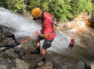
This is a once-in-a-lifetime adventure to rappel down a 100+ waterfall surrounded by beautiful scenes in the midst of the White Mountains. This adventure is organized and facilitated by Northeast Mountaineering who provide gear, guidance, and safety instruction.
You will begin your day at the Bu...
Read more
-
Lincoln, New Hampshire
The Basin is just one stop on the Pemigewasset Recreational Trail that follows along I-93 through Franconia Notch. The parking lot for the Basin is easily accessible from either north or south on I-93, and it has it's own exit sign which can't be missed.Park in the lot and follow the signs toward...
Read more

