Carson City, Nevada
Top Spots in and near Carson City
-
Tahoe City, California
Purple Trail and Burton Creek Loop
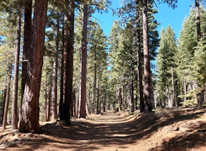
3.76 mi / 492 ft gainBurton Creek State Park is a moderate hike. It is a secluded peaceful hike that offers amazing views of the lake. This is a popular spot for mountain bikers, but is also ideal for hiking. Much of the trail is through the forest and there are many maps and signs pointing out the trails. The hike ...Read more -
Tahoe City, California
Paddle Commons Beach
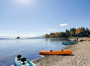
5.0Commons Beach is a small beach and park on the northwest side of the lake. It is located very close to the CA-89 exit, so is ideal for road trip stops. There is a park for kids, and a grassy area near the beach. The beach itself is on the smaller side, but is relatively uncrowded. This area of th...Read more -
Reno, Nevada
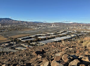
Huffaker Park Lookout Trail
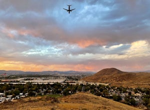
4.01.88 mi / 308 ft gainHuffaker Park Lookout Trail is a loop trail where you may see beautiful wildflowers located near Reno, Nevada.Read more -
South Lake Tahoe, California
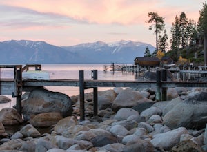
Catch a Sunset at Keys Beach
Owned by the State of California, Keys Beach sits at the end of a peninsula bordered by the Tahoe Keys marina inlet to the west and the Upper Truckee River to the east. This relative isolation along with its only access being by water or a single trail keeps the beach remarkably quiet relative to...Read more -
Reno, Nevada
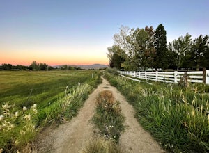
Anderson Park Loop
4.01.64 mi / 92 ft gainAnderson Park Loop is a popular trail for walking or running tucked away in a quiet neighborhood near Reno, Nevada. The trail loops around a pasture and connects up to Bartley Ranch for a longer or more scenic route. Take in scenic views of the surrounding mountains, but there may be some traf...Read more -
Reno, Nevada
Rattle Snake Mountain
4.01.49 mi / 371 ft gainRattle Snake Mountain is an out-and-back trail that takes you past scenic surroundings located near Reno, Nevada.Read more -
Tahoma, California
Meeks Bay
4.7Nestled along the southwest shore of Lake Tahoe, Meeks Bay is a great destination offering a blend of outdoor adventure and relaxation. With its crystal-clear waters and sandy beaches, Meeks Bay is great for swimming especially on hot summer days or after hitting the trails. Whether you're see...Read more -
South Lake Tahoe, California
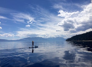
Paddle from Meeks Bay to D.L. Bliss
The water at Meeks Bay is perfectly crystal clear, a mix of different blues and greens – you can see the bottom floor in most places. Hug the buoy line to have a clear view to the lake's bottom, or cruise the dark blue waters where the lake falls off from 20ft deep to some of its deepest levels o...Read more -
South Lake Tahoe, California
Hike the Rubicon Trail
5.07 mi / 400 ft gainThe Rubicon Trail is a through hike connecting D.L. Bliss State Park and Emerald Bay State Park. You can start at either point. I opted to start at D.L. Bliss State Park to avoid the long walk uphill to catch the Nifty Fifty shuttle. Also, there is more available parking at Bliss. Park your c...Read more -
South Lake Tahoe, California
Hike the Lighthouse Trail at D.L. Bliss State Park
4.82.3 mi / 505 ft gainThe Lighthouse Trail is a 2.3 mile loop located in D.L. Bliss State Park on the lower west side of world famous Lake Tahoe. To get the trail, enter the park through the main entrance ($10 parking fee), the follow the road until you see two parking areas of the left side with about 6 or 7 spots e...Read more -
Reno, Nevada
Quail Run and Flume Trail Loop
4.01.45 mi / 128 ft gainQuail Run and Flume Trail Loop is a loop trail that takes you past scenic surroundings located near Reno, Nevada.Read more -
Tahoma, California
Backpack to Crag Lake
4.011.1 mi / 1220 ft gainDay 1:This trip is a great early season trip while you are waiting for the snow to melt in the high country or it could be a good first backpacking trip because of its proximity to the trailhead and the fact that it's a relatively easy hike. Also, you get to camp by a beautiful lake with a drama...Read more -
South Lake Tahoe, California
Winter Paddle From Camp Richardson to Kiva Beach
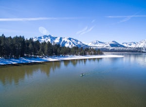
Starting at Camp Rich you might get some weird looks at the start, but it is all worth it! As you look out at the lake all you see is the beautiful crystal clear water reflecting the gorgeous snow covered mountains. As you throw your board in the water you begin your paddle along the shoreline. T...Read more -
Homewood, California
Eagle Rock
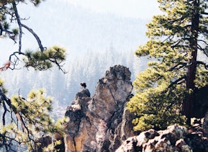
4.00.84 mi / 105 ft gainStarting at an outcrop off Highway 89 in Tahoe Pines, hikers make their way up the trail through a gradually sloping forest. Climbing rocks and logs, it is strenuous at times but only takes about 15-20 minutes to accomplish. Once at the top, the elevation is 6,286 feet and consists of an absolute...Read more -
South Lake Tahoe, California
Chillin at Lake Tahoe's Kiva Beach
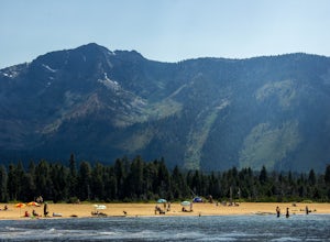
4.7Kiva is a secluded sandy crescent beach flanked by a beautiful meadow and mountain backdrop. This beach is rarely crowded and has free parking unlike other beaches in Tahoe. Kiva is a great place to bring dogs and is actually well known as a dog beach. Kiva is also accessible from the bike trail...Read more -
South Lake Tahoe, California
Paddle from Kiva Beach to Emerald Bay
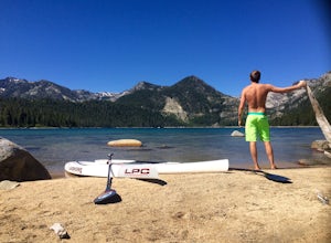
4.0Grab your paddleboard or rent one from Baldwin Beach, and head out along the southwest shores of Lake Tahoe towards Emerald Bay. Enjoy the pristine blue water and keep your head up for the occasional osprey or bald eagle.Once you make it to the bay, there are plenty of places to go. You can relax...Read more

