United States
Looking for the best mountain biking in United States? We've got you covered with the top trails, trips, hiking, backpacking, camping and more around United States. The detailed guides, photos, and reviews are all submitted by the Outbound community.
Top Mountain Biking Spots in and near United States
-
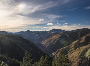
Golden, Colorado
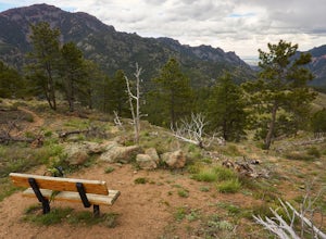
Hike Chimney Gulch Trail at Windy Saddle Park
4.05 mi / 1000 ft gainJust outside of Golden, CO is Lookout Mountain. If you’ve ever driven westbound on i70 from Denver to the mountains, you’ve undoubtedly seen this mountain to your right with antennas on the top. On the north side of Lookout Mountain lies Windy Saddle Park, about a 30 minute drive from Denver. Thi...Read more -
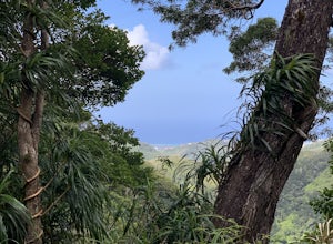
Honolulu, Hawaii
Wiliwilinui Ridge Trail
5.04.5 mi / 1600 ft gainWiliwilinui Ridge Trail is an excellent out-and-back hike with stellar views of the pacific as well as other south shore highlights near Honolulu, on Oahu.Read more -
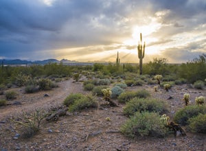
Scottsdale, Arizona
Gateway Loop
4.54.32 mi / 764 ft gainThe Gateway Trailhead is one access point into the McDowell Sonoran Conservancy in Scottsdale and is my favorite “Gateway” into the treasure trove of great trails and vistas in the McDowell Mountains. The Gateway Trailhead provides great accessibility for a quick hike or trail run at the end of t...Read more -
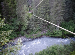
Anchorage, Alaska
Hike Winner Creek Gorge
4.76 miMost people will start this trail behind the Hotel Alyeska and parking is available there if you're not a guest spending the night. This trail can be broken down into 3 segments and the first section is .75 miles along many sections of boardwalk. It's all very flat and keeps you dry when the su...Read more -
Bremerton, Washington
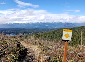
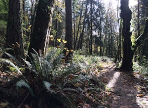
Hike the Gold Creek Trail at Green Mountain
4.05 mi / 1000 ft gainThe Gold Creek Trail is one of several trails in the Green Mountain region. Although the trail is intertwined with others, it is almost impossible to start down the wrong path. The trail is well-marked and well-maintained, making this an excellent option for the family. The trail begins at the e...Read more -
Boulder, Colorado
Hike or Bike the Walker Ranch Loop
4.77.7 mi / 1740 ft gainWhen it comes to hiking trails in Boulder, the standard response usually consists of either Chautauqua Park or Mt. Sanitas, and while both offer excellent hiking options, they are both usually jam packed on the weekends. If you’re looking to stay close to the city, but want a little more seclusio...Read more -
Santa Cruz, California
Hike the Rincon Fire Trail
5.01 mi / 300 ft gainThe Rincon Fire Trail Starts at a small dirt parking lot next to CA-9 and traverses down the mountain to the San Lorenzo River Connecting with the Pipeline Trail. The trail can be a simple one of a mile out and back or up to 5 miles depending on your preference. The elevation will change by about...Read more -
Laguna Beach, California
West Ridge to Car Wreck Trail and Mathis Canyon Loop
4.53.31 mi / 856 ft gainThere are numerous ways to incorporate the Car Wreck trail into a larger loop through the Laguna Coast Wilderness and Aliso Canyon Park, but a common route is to begin at Alta Laguna Park at "Top of the World" in Laguna Beach. Take the West Ridge Trail .5 miles, bearing right onto the marked Car...Read more -
Glendale, California
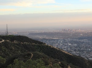
Brand Library Loop
5.06.56 mi / 2648 ft gainYour adventure will start at the Brand Library parking lot. Walk behind the library towards the gated day use area and you will find the start of the trail on your right, Las Flores MTWY. The first half-mile rises over 500 feet to a plateau, equipped with benches, a park map and views of Griffit...Read more -
Bloomington, Minnesota
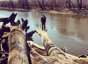
Explore the Minnesota River Bottoms
4.3The "River Bottoms" is an unofficial network of single track, double track and service roads just south of Minneapolis along the Minnesota River flood plane. Flat, fast and easy to navigate, the 11-mile trail system is a popular spot for mountain bikers, trail runners and hikers looking to do lon...Read more -
Issaquah, Washington
Grand Ridge Trail
4.07.51 mi / 1125 ft gainThe trail system in the 1,300 acre Grand Ridge Park can currently can be accessed from two lots: High Point and Central Park, with a new lot at Duthie Hill still under construction. To get to the High Point lot take exit 20 off of I-90 (coming from Seattle), take a left and pass under the freewa...Read more -
Moab, Utah
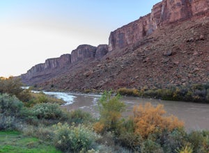
Camp Goose Island Campground
4.7Many of the campground in Arches National Park are extremely hard to book and almost impossible to get walk-in spots during the peak season in this area. However, the Colorado River near Moab has an abundance of beautiful campsites along its shore. Highway 128 heads northwest out of Moab followin...Read more -
Hopewell, New Jersey
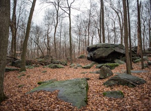
Hike through the Sourland Mountain Preserve
5.02.91 miThe Sourland Mountain Preserve stretches from Hunterdon County all the way into Somerset County. The trails referenced here are on the southwest side of the preserve in Hunterdon County. They are accessible from an on site parking lot at 233 Rileyville Road in Ringoes NJ.There are several trails ...Read more -
Aspen, Colorado
Hike Lost Man Loop
5.08.8 mi / 1290 ft gainThis 8.8 mile "loop" is not a true loop and the trail ends 4 miles apart along Independence Pass, so a car shuttle is recommended. I would recommend starting at the west trailhead (closer to Aspen) but will describe both trailheads so you can set up another car or shuttle at the other one.1) West...Read more -
Halfway, Oregon
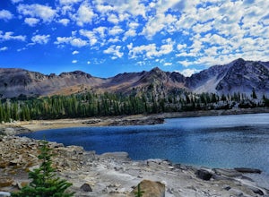
Eagle Cap Wilderness Loop
5.040.13 mi / 10630 ft gainThe top trip in Oregon's Eagle Cap Wilderness takes you in a loop around Eagle Cap, Oregon's 13th tallest peak and through three high mountain passes. East Eagle trailhead has two main parking lots, the first one you come to is a trailer parking lot meant for horse trailers, but make sure you dri...Read more -
Walhalla, South Carolina
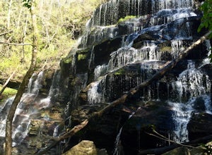
Hike to Yellow Branch Falls
5.03 miOnce you have turned into the picnic area off of Highway SC 28, you will see the open and easy parking area. The trail begins at 2 points on the southern end of the parking area. These 2 points form a small loop about 0.2 miles long, with a spur in the middle of the loop onto the main yellow bran...Read more

