Somers, Montana
Top Spots in and near Somers
-
Browning, Montana
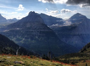
The Garden Wall
15.16 mi / 3944 ft gainThe Garden Wall Trail is an out-and-back trail where you may see beautiful wildflowers located near West Glacier, Montana.Read more -
Browning, Montana
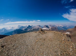
Piegan Mountain
5.05 mi / 3000 ft gainStart this hike at the Lunch Creek parking lot just over Logan Pass. Follow the climber's trail which will lead you above a waterfall and into Lunch Creek Basin. Looking straight ahead, you will see Pollock Mountain. Continue to your right for the peak approach (if you go all the way to the right...Read more -
48.696704,-113.718345
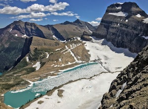
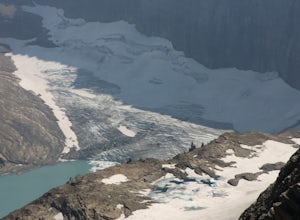
Grinnell Glacier Overlook via Highline Trail
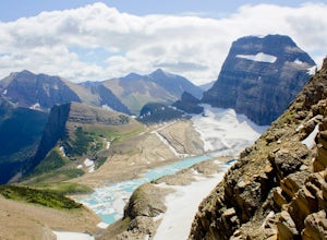
4.015.23 mi / 1000 ft gainThere are two ways to get to this trail. Preferred route: Start the Highline Trail at Logan Pass. Hike 7.5 miles on a pleasantly gradual trail to get to the overlook trail. Alternate route: You can instead start at The Loop (shuttle stop), hike up to the Granite Park Chalet, and then hike an addi...Read more -
West Glacier, Montana
Highline Trail
5.015.01 mi / 700 ft gainStarting at the top of Logan Pass at the visitor's center, walk across the street to the well marked Highline Loop Trailhead. This is written as an out-and-back hike, where you will simply hike back to where you started from. However, if you'd like to catch a ride back to the trailhead, check out...Read more -
West Glacier, Montana
Granite Park Chalet via Highline Trail
4.511.49 mi / 1950 ft gainThe trailhead for the Highline Trail is located near the west side of Logan's Pass. Parking is limited at the Pass so arriving early to guarantee a spot, or taking a park shuttle (no fee) is suggested. The shuttles run consistently during the day at different locations throughout the Park. Howeve...Read more -
East Glacier Park, Montana
Dawson Pass
5.012.01 mi / 2450 ft gainThis is a somewhat strenuous but extremely rewarding hike in Glacier National Park. It is much less crowded than the more popular Logan Pass and High Line trails, and in my opinion, more rewarding. Dawson Pass is on the Continental Divide at an elevation of 7,598 feet. It sits between Mt. Helen ...Read more -
Glacier County, Montana
Pitamakan Pass
15.36 mi / 3064 ft gainThis gripping, 16 mile round trail reveals adventure at every turn. Nestled behind Pray Lake in Glacier National Park, the Pitamakan Pass hike will begin at the North Shore Trailhead. To access this trailhead, a fifteen dollar fee may be payed to cross Pray Lake by boat. If your pocket book is ru...Read more -
Glacier County, Montana
Upper Two Medicine Lake
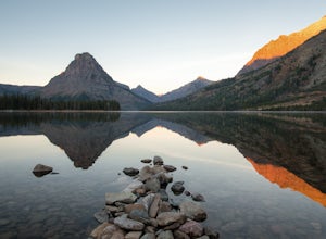
9.67 mi / 719 ft gainI did this trip during the end of autumn, and was pretty much the only person on the entire lake. With it being so serene and so quiet, I had the perfect nature getaway. I made sure to watch an epic sunrise on Two Medicine Lake, then spend the day taking my time to the upper lake and back, with a...Read more -
Browning, Montana
Gunsight Pass to Gunsight Lake Campsite
5.013.06 mi / 1667 ft gainHow to Get There: Get your backcountry pass at the St. Mary visitor center and then head over to the hike, which begins from the Jackson Glacier Overlook, located 12.6 miles west of the center on the Going-to-Sun-Road. The Hike: The first mile of the hike is a downhill, and then the trail is ...Read more -
Browning, Montana
Climb Pollock Mountain and Bishop's Cap
8 mi / 4300 ft gainStarting at Logan Pass, drive 0.8 mi. east to Lunch Creek parking area. Parking during the summer at Glacier National Park is often difficult. Plan on arriving at the parking lot before 8 am to guarantee a parking spot. From Lunch Creek, follow the well established trail north until cliffs are re...Read more -
Charlo, Montana
Photograph The National Bison Range
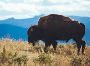
5.0The Bison Range is open year round, however, the road is mostly closed in the winter months, so the best times are the spring, summer or fall.The Range was established in 1908 to help preserve a natural population of the nearly extinct animal. Today, between 350-500 bison roam the hills.You will...Read more -
Glacier County, Montana
Running Eagle Falls
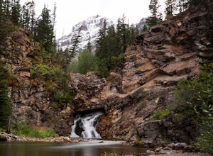
5.00.68 mi / 33 ft gainRunning Eagle Falls is located just 1.1 miles west from the Two Medicine entrance in Glacier National Park. The trailhead parking lot is just off the main road going to the lake– it is essentially impossible to miss. It mimics parking spots on the side of a city street. This hike is handicap ac...Read more -
Flathead County, Montana
Backpack to Link Lake
1.3 mi / 600 ft gainTo reach the trailhead, travel west on US Hwy 93 for 17.9 mi. and then turn right onto Olney Crossover Rd. This road will continue for 8.8 mi. and then keep left onto NF-115 for 9.7 mi. and the destination will be on the right hand side. There is a parking area where the trailhead begins. From th...Read more -
Rising Sun, Montana
Baring Falls via Piegan Pass Trail
1.96 mi / 246 ft gainBaring Falls via Piegan Pass Trail is an out-and-back trail to a waterfall located near the southern end of St. Mary Lake in East Glacier Park Village, Montana.Read more -
Browning, Montana
Hike Mount Siyeh
5.08.45 mi / 4209 ft gainOnce the Going-To-The-Sun Road has opened fully, this massive peak is accessible by driving to Siyeh Bend on the east side of the Logan Pass Visitors Center. Plan on a sun up to sun down adventure. Choose a sunny summer day and head up to hit the trail! Park at Siyeh Bend, and start on the Pie...Read more

