Park County, Montana
Looking for the best camping in Park County? We've got you covered with the top trails, trips, hiking, backpacking, camping and more around Park County. The detailed guides, photos, and reviews are all submitted by the Outbound community.
Top Camping Spots in and near Park County
-
Gallatin Gateway, Montana
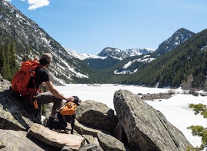
Hike to Emerald and Heather Lake
5.010.9 mi / 2000 ft gainOnce in Bozeman, Take 19th Ave. south to Hyalite Canyon Rd. Turn left and continue past Hyalite Reservoir; when the road splits, take the left fork toward Palisade Falls. Continue past Palisade Falls to the end of the road. The trailhead is immediately ahead of you. This hike is around 11 miles t...Read more -
Livingston, Montana
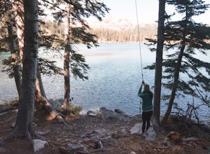
Climbing Alpine Ice at Emerald Lake
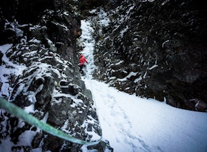
From the East Fork parking lot in Hyalite Canyon hike 4 miles gaining an easy 1,500 feet to Emerald Lake. Surrounded by mountains, Emerald Lake is a beautiful destination in itself. If you are looking for climbing, pick one of the many lines around.My partner and I decided to pick off one of the ...Read more -
Gallatin Gateway, Montana
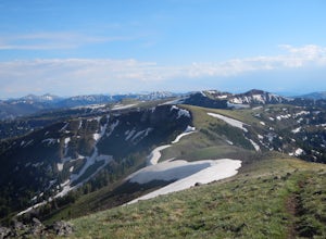
Hike to Garnet Mountain Lookout
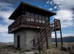
5.07.7 mi / 2800 ft gainStarting in Bozeman, travel south of Gallatin Gateway about 5 miles on Hwy 191 and turn left on to Storm Castle Creek Road. Follow this road for about 3.5 miles until the road ends. At this point, there is a decent sized parking area. The trail is open year round with ATV access and also snowmobi...Read more -
Gallatin Gateway, Montana
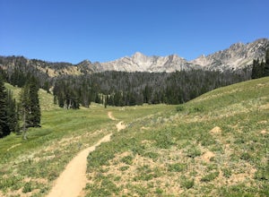
Hike to Golden Trout Lakes
4.05 mi / 1300 ft gainThe Golden Trout lakes offer a scenic getaway just out of the Gallatin Valley Canyon. To access the trail head, turn east onto Portal Creek Road #984 and continue southeast for 6.8 miles. The road is in rough condition and is better suited for vehicles with a higher clearance. The trail head is e...Read more -
Gallatin Gateway, Montana
Hike to Lava Lake
5.06 mi / 1600 ft gainThe 6 mile round trip to Lava Lake is a steady climb that runs beside Cascade Creek through the Lee Metcalf Wilderness. The trail starts at the Gallatin River and continues upward through dense evergreen forest. There are no confusing intersections but is quite rocky and considered to be moderate...Read more -
Bozeman, Montana
Relax at Fairy Lake
5.0Have a day to kick back and relax? With just a short drive of under an hour (from Bozeman), you could be enjoying the outdoors at a scenic alpine lake. Fairy Lake is a gorgeous glacial lake located at the north eastern base of Sacagawea Peak in the Bridger Mountain Range.To access the lake trail,...Read more -
Gallatin Gateway, Montana
Backpack the Gallatin Crest Trail
42 mi / 6000 ft gainThere are some different options for starting and ending this hike, but the route I did started at Buffalo Horn Trailhead and ends at the Hyalite Creek Trailhead, and is approximately 42 miles total. I did the trail over the course of three and a half days, spending three nights in the backcountr...Read more -
Gallatin Gateway, Montana
Beehive Basin Trail No. 40
5.07.01 mi / 1601 ft gainBeehive Basin Trail No. 40 is an out-and-back trail that takes you by a lake located near Big Sky, Montana.Read more -
Yellowstone National Park, Wyoming
Backpack to Slough Creek's Backcountry Campsites
20.49 mi / 1286 ft gainAccess to Slough Creek is via the Slough Creek Road that starts 6 miles east on the Northeast Entrance Road from Tower Junction. It is 2.5 miles to the Slough Creek Campground located at the end of the road. Starting at the Slough Creek Trailhead you will find a small parking area and a restroom...Read more -
Big Timber, Montana
Crazy Peak Scramble
4.5Do you like high alpine scrambles? Climbing exposed spires? Partying on a mountain top?If you said yes to any of the above, head to Big Timber Montana and prepare for a great time. Crazy Peak is an epic highpoint within the Crazy Mountains, located in southwestern Montana. Although this hike can ...Read more -
Park County, Montana
Backpack the Aero Lakes to Granite Peak
26 mi / 6200 ft gainGranite Peak is considered one of the most difficult state high-points, for its remoteness and its climbing challenge. Unfortunately, the access to this route is very remote. Fortunately, this route to the summer is the easiest way up in terms of the technical climbing challenge. This route, k...Read more -
Fishtail, Montana
Backpack the Beartooths via the West Rosebud Trail
22.69 mi / 6795 ft gainThe West Rosebud Trail functions as one of the major routes to Granite Peak, the highest point in Montana. The trailhead (6,558') is located approximately 80 miles south of Billings in the Beartooth Absaroka Wilderness. The road to the trail passes Emerald and West Rosebud Lakes just before arriv...Read more -
Yellowstone National Park, Wyoming
Photograph Wildlife in Lamar Valley
5.0This adventure is a little harder to pinpoint on a map because the Lamar Valley of Yellowstone encompasses a large area of the park. Also, the premier wildlife photography can be found on either end of what is officially "Lamar Valley" so you want to pay attention for a good part of the drive. Yo...Read more -
Yellowstone National Park, Wyoming
Lamar River Trail
5.033.2 mi / 3304 ft gainLamar River Trail is an out-and-back trail that takes you by a river located near Yellowstone National Park, Wyoming.Read more -
Cooke City-Silver Gate, Montana
Rock Island Lake Trail
6.86 mi / 771 ft gainRock Island Lake Trail is an out-and-back trail that takes you by a lake located near Cooke City, Montana.Read more

