Hungry Horse, Montana
Top Spots in and near Hungry Horse
-
Flathead County, Montana
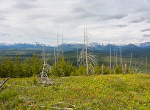
Hike Glacier View Mountain
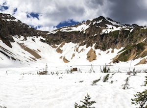
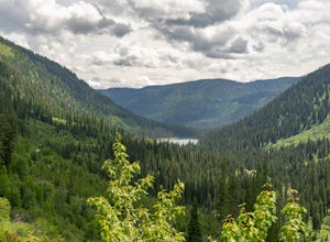
5.04 mi / 2880 ft gainDriving north from Columbia Falls, MT for 20 miles, park after the junction of the Camas Road and the North Fork Road. This parking area is directly after the junction on the east side of the road and the trail begins on the west side of the road.The beginning of the trail is started with many sw...Read more -
West Glacier, Montana
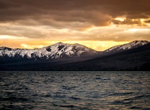
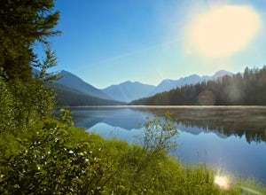
Camp at Sprague Creek Campground on Lake McDonald
4.5Ten miles long and nearly 500 feet deep, Lake McDonald, the largest lake in Glacial National Park. Sprague Creek is a small 25-site campground on the northeast shore of the lake, about 9 miles from the west entrance of the park. Campsites are on a first-come, first-serve basis and fill up early....Read more -
West Glacier, Montana
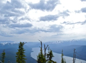
Hike to the Mt. Brown Lookout
5.0The trail is accessible (though sometimes covered in snow) year-round because the trailhead lies in the lower elevation area of the park. It begins at the Sperry Trailhead, located directly across the street from the lake McDonald Lodge. Follow the Sperry Trail for 1.6 miles until you reach the M...Read more -
Kalispell, Montana
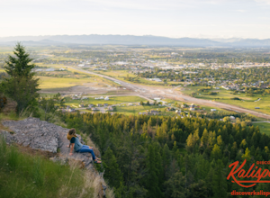
Western Larch and Cliff Trail Loop
2.77 mi / 656 ft gainWestern Larch and Cliff Trail Loop is a loop trail that takes you through a nice forest located near Kalispell, Montana.Read more -
Essex, Montana
Hike to Dickey Lake
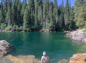
5.2 mi / 1463 ft gain*Parking for this hike is very limited, as the parking area can hold one, maybe two, vehicles. This 5.2 mile roundtrip hike begins near Essex, Montana, at 4,620 feet of elevation, and leads to a small, hidden lake nestled in the Great Bear Wilderness. Immediately after leaving the parking area, ...Read more -
West Glacier, Montana
Bike Going-to-the-Sun Road in Glacier National Park
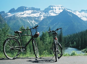
5.050.65 mi / 5036 ft gainEvery Spring (May - June) Going-to-the-Sun road remains closed to cars long after the snow has been plowed and melted. However, just past the Lake McDonald Lodge a sign declares the road open to Hikers and Bikers, providing one of Montana's best adventures. Follow Going-to-the-Sun Road in from ...Read more -
Flathead County, Montana
Hike Demer's Ridge
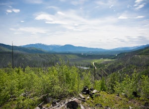
7.47 mi / 3420 ft gainThis trail is a point to point, so two cars are necessary. The ending point is where Camas Rd intersects the North Fork Road at the Blankenship Bridge. The starting point for the hike is at Demer's Pit. Driving 22 miles from Columbia Falls, MT, make your way to the parking spot, Demer's Pit. From...Read more -
Bigfork, Montana
Swim in Graves Bay Swimming Hole
To get to this swimming hole you drive south from Hungry Horse on the West Side Road (Forest Road 895) 33.6 miles to the Graves Creek Campground. Park in the small parking lot with the bear box and outhouse, opposite the campground closer to the lake. Follow the path as it leads you past the casc...Read more -
Bigfork, Montana
Explore Graves Creek Falls
Graves Creek Falls are a series of pleasant waterfalls viewable without much effort. To get here From Hungry Horse drive south on the West Side Road (Forest Road 895) 33.6 miles to the Graves Creek Campground. From here turn right into the campground, park and take a short walk of a couple hundre...Read more -
Kalispell, Montana
Notch Trail, Overlook Trail, and Plum Creek Road Loop
3.85 mi / 801 ft gainNotch Trail, Overlook Trail, and Plum Creek Road Loop is a loop trail where you may see local wildlife located near Kalispell, Montana.Read more -
Essex, Montana
Cross Country Ski at Izaak Walton Inn
The Izaak Walton Inn was established in 1939 to accommodate workers and visitors from the rapid expansion of the Great Northern Railway. Conveniently built near Highway two, it is a short drive from both the West Glacier and East Glacier Entrances. If driving from West Glacier, continue on Highwa...Read more -
Somers, Montana
Paddle North Flathead Lake
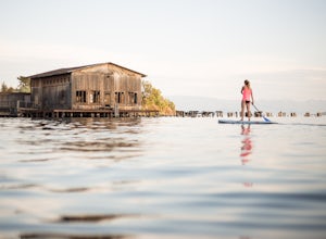
5.0Flathead Lake is huge, and gorgeous. It's the biggest lake in Montana and certainly one worth spending some time on. The water is surprisingly warm, and the views are amazing. If you are passing through the area, find a place to rent some paddleboards and hit the water around golden hour in the e...Read more -
Somers, Montana
Kayak to Pig Island
Drive to the North Flathead Launch in Somers, MT (15 miles south of Kalispell). Launch the kayaks and head south towards the yacht club. Once past the yacht club, paddle eastward, you should come upon a wooden shack, a number of wooden poles, and an island. Continue eastward past these various fe...Read more -
West Glacier, Montana
Backpack to Logging Lake
8.8 miBackcountry camping is the best plan if you’d like to visit Logging Lake, and the primitive campsites lay at the end of a four and a half mile hike through some of the most unspoiled sections of the park. The trail follows logging creek most of the way to the lake traversing through a variety of ...Read more -
West Glacier, Montana
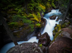
Explore Avalanche Creek
5.00.7 miAvalanche Creek is one of Glacier National Park's easiest features to access and also one of its most unique. The old-growth cedar forest is home to towering trees, moss-covered boulders, and a rushing stream of glacial water. A small loop trail winds through the lower forest and leads to a bri...Read more -
West Glacier, Montana
Trail of the Cedars
5.00.88 mi / 121 ft gainTrail of the Cedars Trail is a loop trail that takes you by a river located near Lake Mc Donald, Montana.Read more

