Montana
Looking for the best hiking in Montana? We've got you covered with the top trails, trips, hiking, backpacking, camping and more around Montana. The detailed guides, photos, and reviews are all submitted by the Outbound community.
Top Hiking Spots in and near Montana
-
Helena, Montana
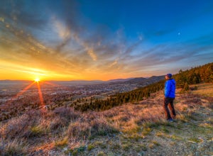
Prospect Shaft Trail
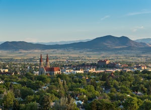
2.4 mi / 800 ft gainThe Prospect Shaft Trail is a lightly used trail used to reach the summit of Mt Helena. The trail is rated as a 'moderate' trail due to its steep, loose, rocky surface. Due to these characteristics, it's rarely used for mountain biking and primarily used for hiking and trail running. The views a...Read more -
Libby, Montana
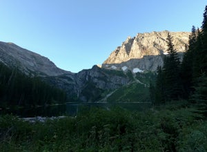
Granite Lake
5.011.06 mi / 1673 ft gainGranite Lake is an out-and-back trail that takes you by a waterfall located near Libby, Montana.Read more -
Great Falls, Montana
Hike or Bike the South Shore River's Edge Trail
10 mi / 975 ft gainThe South Shore River's Edge Trail runs along the Missouri River. The trail is rated as moderate and is perfect for hiking, trail running, and mountain biking. It's an out-and-back, so you can go as far as you like. To start, park at the South Shore Trail Trailhead (click the Get Directions link ...Read more -
Helena, Montana
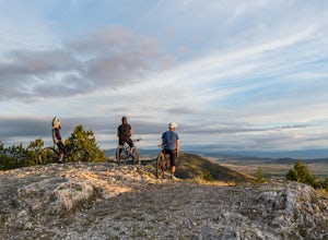
1906 Trail
3 mi / 1000 ft gainLocated just outside of Helena, the 1906 Trail starts at the Mt Helena Parking Lot. The path is wide enough to share with hikers, trail runners, or mountain bikers. Note: this is an uphill-only trail for mountain biking. It's a very popular trail due to its wide trail and awesome views from the t...Read more -
Thompson Falls, Montana
Blossom Lakes Trail
4.05.73 mi / 1299 ft gainBlossom Lakes Trail is an out-and-back trail that takes you by a lake located near Saltese, Montana.Read more -
Helena, Montana
Mount Ascension
3 mi / 950 ft gainMount Ascension is a popular trail in Helena. It's used for hiking, trail running, and mountain biking. It can be accessed year-round, but can get icy and slippery during the winter. The path for Mount Ascension is a network of trails that that can be done as an out-and-back, or a lollipop trail...Read more -
Choteau, Montana
Hike Mount Werner
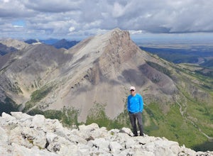
9.5 mi / 3048 ft gainThe Mount Werner Trail starts at the Blackleaf Canyon Trailhead in the Montana front range of the Rocky Mountains. On a side note, Blackleaf Canyon is also a popular rock climbing area. On the trail, you'll walk along Blackleaf Creek, and Muddy Creek so water will be available during the hike in ...Read more -
Kalispell, Montana
Western Larch and Cliff Trail Loop
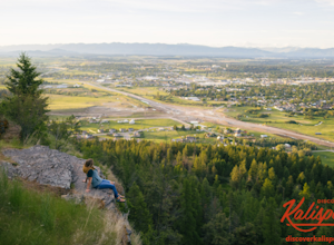
2.77 mi / 656 ft gainWestern Larch and Cliff Trail Loop is a loop trail that takes you through a nice forest located near Kalispell, Montana.Read more -
Butte, Montana
Hike Maud S. Canyon Loop
4 mi / 994 ft gainMaud S is a great moderately traveled trail that weaves you through dry grassland, forests, and provides you with beautiful mountain views totaling 994 ft of elevation gain. You will find people hiking, running hills, mountain biking, and walking their dogs on this trail. After completing the ste...Read more -
Bigfork, Montana
Aneas Loop
3.02.77 mi / 207 ft gainAneas Loop is a loop trail where you may see beautiful wildflowers located near Bigfork, Montana.Read more -
Red Lodge, Montana
Snowshoeing to Silver Falls
8 miThinking we could drive straight to the trailhead in the winter was our first incorrect assumption. When we arrived, we discovered that Lake Fork Road is closed after a certain point, adding another mile or so to our hike. The snow was falling very heavily and we decided to start out and call it ...Read more -
Nye, Montana
Hike Sioux Charley Lake Trail
6.5 mi / 931 ft gainFrom the trailhead hike about 2.5 miles to Sioux Charley lake with varying inclines of terrain, all in all a very easy and delightful hike.Read more -
Philipsburg, Montana
Hike the Hogback Ridge Trail
11 mi / 5242 ft gainThe trailhead is accessed at the Hogback Homestead. [GPS Info. (Latitude, Longitude):46.41056, -113.7019446°24'38"N, 113°42'7"W] Due to the isolated location of this trailhead, and the miles of rough dirt road that it takes to get there, you will more than likely have the place to yourself. Park ...Read more -
Gallatin Gateway, Montana
Beehive Basin Trail No. 40
5.07.01 mi / 1601 ft gainBeehive Basin Trail No. 40 is an out-and-back trail that takes you by a lake located near Big Sky, Montana.Read more -
Glacier County, Montana
Ptarmigan Lake Trail
8.78 miPtarmigan Lake Trail is an 8.6 mile out and back hike that takes you by a waterfall located near Babb, Montana in Glacier National Park.Read more -
Noxon, Montana
Saint Paul Lake Trail
4.06.8 mi / 1998 ft gainSaint Paul Lake Trail is an out-and-back trail that takes you by a lake located near Noxon, Montana.Read more

