Greycliff, Montana
Looking for the best photography in Greycliff? We've got you covered with the top trails, trips, hiking, backpacking, camping and more around Greycliff. The detailed guides, photos, and reviews are all submitted by the Outbound community.
Top Photography Spots in and near Greycliff
-
Mc Leod, Montana
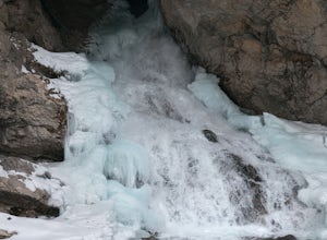
Hike to the Natural Bridge Falls
5.02 mi / 300 ft gainAlthough this recreation area is at minimum 30 minutes out from any town, the road leading to the location is amazing and allows for some sweet views. Once you arrive, there will be a relatively small, paved place to park as well as bathrooms. Right behind the bathroom is the start to the trail.T...Read more -
Big Timber, Montana
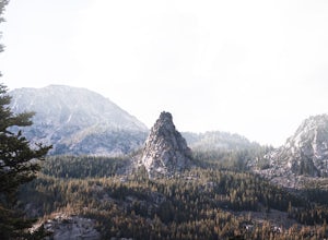
Crazy Peak Scramble
4.5Do you like high alpine scrambles? Climbing exposed spires? Partying on a mountain top?If you said yes to any of the above, head to Big Timber Montana and prepare for a great time. Crazy Peak is an epic highpoint within the Crazy Mountains, located in southwestern Montana. Although this hike can ...Read more -
Nye, Montana
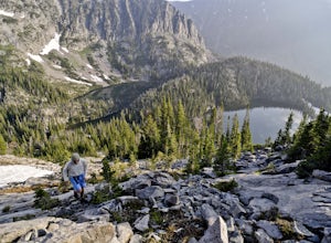
Hike Sioux Charley Lake Trail
6.5 mi / 931 ft gainFrom the trailhead hike about 2.5 miles to Sioux Charley lake with varying inclines of terrain, all in all a very easy and delightful hike.Read more -
Fishtail, Montana
Backpack the Beartooths via the West Rosebud Trail
22.69 mi / 6795 ft gainThe West Rosebud Trail functions as one of the major routes to Granite Peak, the highest point in Montana. The trailhead (6,558') is located approximately 80 miles south of Billings in the Beartooth Absaroka Wilderness. The road to the trail passes Emerald and West Rosebud Lakes just before arriv...Read more -
Roscoe, Montana
Backpack to Rainbow Lake via the East Rosebud Trail
3.016 mi / 1600 ft gainAlso known as "The Beaten Path", the East Rosebud Trail is a highly traveled and well maintained trail with amazing views and a handful of lakes along the route. The trail is ultimately 26 miles long and places you near Cooke City. Rainbow Lake is located 7 miles from the trailhead and is a perfe...Read more -
Roscoe, Montana
Backpack to the Beartooths
5.014 mi / 7620 ft gainWe stood there, against the wind, looking at 3-4 pitches. The line appeared too good to be true. It was a bit of an ice pitch, followed by a snow coliour, finishing with a pitch of mixed climbing that would take us to the top.I'd heard things about The Beartooths. But, they weren’t validated unti...Read more -
Red Lodge, Montana
West Fork - Lake Fork of Rock Creek Trail
19 miStart out at the West Fork trailhead west of Red Lodge and begin on an epic backpacking trip. This trek can easily be done anywhere from 2-5 days depending on ability and whether or not you want to take your time. Camp first at Quinnebaugh Meadows, a large meadow with great views of the Beartoot...Read more -
Livingston, Montana
Summit Arrow Peak
2.4 mi / 3600 ft gainStarting in Livingston, MT, take Hwy 89 for 16 miles and take a left on Mill Creek Road. A junction with Road 540 will be reached. At this junction, continue on Mill Creek Road for another 8 miles until a large rock gully on the left is present and a wooden fence is on the right. The route is not...Read more -
Park County, Montana
Backpack the Aero Lakes to Granite Peak
26 mi / 6200 ft gainGranite Peak is considered one of the most difficult state high-points, for its remoteness and its climbing challenge. Unfortunately, the access to this route is very remote. Fortunately, this route to the summer is the easiest way up in terms of the technical climbing challenge. This route, k...Read more

