Dayton, Montana
Looking for the best hiking in Dayton? We've got you covered with the top trails, trips, hiking, backpacking, camping and more around Dayton. The detailed guides, photos, and reviews are all submitted by the Outbound community.
Top Hiking Spots in and near Dayton
-
Seeley Lake, Montana
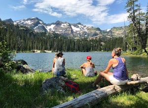
Hike to Crescent Lake
9 mi / 1500 ft gainAn hour drive north of the town of Seeley Lake Montana is the Glacier Lake Trailhead and the starting point for your hike. Glacier Lake Trailhead is a popular trailhead, and the parking lot can fill up quickly on hot summer weekends since it provides access to trails which lead to three different...Read more -
Essex, Montana
Hike to Dickey Lake
5.2 mi / 1463 ft gain*Parking for this hike is very limited, as the parking area can hold one, maybe two, vehicles. This 5.2 mile roundtrip hike begins near Essex, Montana, at 4,620 feet of elevation, and leads to a small, hidden lake nestled in the Great Bear Wilderness. Immediately after leaving the parking area, ...Read more -
Condon, Montana
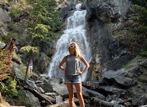
Holland Lake and Falls
5.03.05 mi / 561 ft gainHolland Lake and Falls is an out-and-back trail that takes you by a lake located near Condon, Montana.Read more -
Whitefish, Montana
Hike Whitefish Mountain via the Danny On Trail
5.07.6 mi / 2250 ft gainThe Danny On Trail starts from the base area of Whitefish Mountain Ski Resort and zig zags its way up to the summit. The trailhead is near the Chalet building/Hellroaring Saloon upper parking lot (there's a big sign). The trail passes through Douglas fir, western larch, spruce and fir trees. The ...Read more -
Hungry Horse, Montana
Hike to the Blue Lakes
2 mi / 100 ft gainThe drive out to the trailhead where this hike starts is an adventure in and of itself. As the Forest Service website describes it. "Silvertip Trailhead is accessed from Highway 2. From the town of Hungry Horse, drive east on Highway 2 for ½ mile to the East Side Reservoir Road #38. Turn right (s...Read more -
Columbia Falls, Montana
Hike to Apgar Lookout
4.57 mi / 1850 ft gainPrecursor: I completed this hike in November, hence the snow in the photos. Due to a lack of tree coverage, this hike is best suited for a cool summer day, or in the late spring and early autumn. It is doable in the heat of the summer, but be sure to pack plenty of water. This hike begins by tre...Read more -
Flathead County, Montana
Snowshoe the North Fork Area of the Flathead River
1.5 mi / 0 ft gainStarting in Columbia Falls, MT, which is 17 miles from Kalispell, MT, locate North Fork Road off of Railroad Street. Follow North Fork Road about 17 miles. While along the Flathead River, there are many Forest Service roads that are accessible to snowshoe along. There are roads that lead to the F...Read more

