Browning, Montana
Looking for the best camping in Browning? We've got you covered with the top trails, trips, hiking, backpacking, camping and more around Browning. The detailed guides, photos, and reviews are all submitted by the Outbound community.
Top Camping Spots in and near Browning
-
Glacier County, Montana
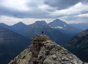
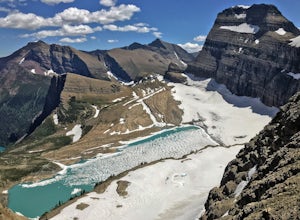
Pitamakan Pass
15.36 mi / 3064 ft gainThis gripping, 16 mile round trail reveals adventure at every turn. Nestled behind Pray Lake in Glacier National Park, the Pitamakan Pass hike will begin at the North Shore Trailhead. To access this trailhead, a fifteen dollar fee may be payed to cross Pray Lake by boat. If your pocket book is ru...Read more -
Glacier County, Montana
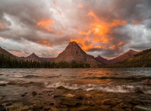
Explore Two Medicine Lake
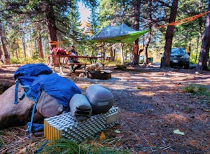
5.0Two Medicine Lake sits in the southeastern part of Glacier NP away from the more popular Going-to-the-Sun Road. The 2-mile long lake has a 100 site campground that serves visitors on a first-come-first-serve basis; the campground opens mid-April and closes in November. From the main parking area...Read more -
Glacier County, Montana
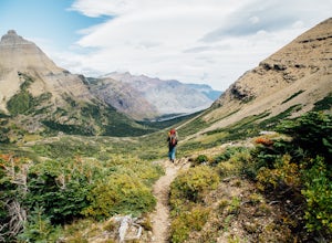
Triple Divide Pass Trail to Red Eagle Lake
29.22 mi / 5499 ft gainA couple of notes to keep in mind before you start... this is a loop that takes you to a different part of the park so you will either need two vehicles (one for the pickup spot and one to take you to the trailhead) or you will need to hitchhike back to you drop off vehicle. Also you will need to...Read more -
Browning, Montana
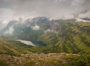
Backpack the Continental Divide in Glacier NP
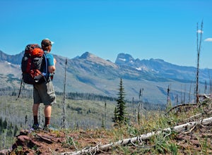
4.033.4 mi / 5257 ft gainPark your car at the Two Medicine North Shore Trailhead, and take a National Park Shuttle (if they are running during the season--they stop around Labor Day in September) or set up a private shuttle service to St. Mary and the Red Eagle Trailhead (only ~$10-20 bucks a person).The first day from t...Read more -
Browning, Montana
The Garden Wall
15.16 mi / 3944 ft gainThe Garden Wall Trail is an out-and-back trail where you may see beautiful wildflowers located near West Glacier, Montana.Read more -
Browning, Montana
Camp at Many Glacier Campground in Glacier National Park
5.0Enjoy one of Glacier National Park's best campgrounds, Many Glacier Campground, which you can reach on the east side of the Continental Divide. Directions: Travel to the east side of the park, and take highway 89 to the town of Babb. From Babb, drive west, reenter the park, and arrive at the Many...Read more -
West Glacier, Montana
Waterton Lakes via Packers Roost
5.022.15 mi / 4596 ft gainDay 1: This gorgeous backpacking adventure begins at the Packer's Roost trailhead, which is almost halfway between West and East Glacier on the Going-to-the-Sun Road. This trailhead is marked on the highway before you get to the "Loop." It's a quick left turn so keep your eyes peeled as you pass ...Read more -
West Glacier, Montana
Explore Avalanche Creek
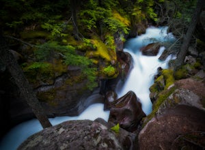
5.00.7 miAvalanche Creek is one of Glacier National Park's easiest features to access and also one of its most unique. The old-growth cedar forest is home to towering trees, moss-covered boulders, and a rushing stream of glacial water. A small loop trail winds through the lower forest and leads to a bri...Read more -
West Glacier, Montana
Camp at Sprague Creek Campground on Lake McDonald
4.5Ten miles long and nearly 500 feet deep, Lake McDonald, the largest lake in Glacial National Park. Sprague Creek is a small 25-site campground on the northeast shore of the lake, about 9 miles from the west entrance of the park. Campsites are on a first-come, first-serve basis and fill up early....Read more -
West Glacier, Montana
Backpack to Lincoln Lake
16.75 mi / 3747 ft gainIt's a 1600 ft slow increase in elevation. You can walk around the loose rocks going around the lake for an additional 2 miles of hiking. There is a back-country campground at the base of the glacier-fed lake and an amazing waterfall at the opposite end of the of the campground. To camp overnig...Read more -
Choteau, Montana
Hike Mount Werner
9.5 mi / 3048 ft gainThe Mount Werner Trail starts at the Blackleaf Canyon Trailhead in the Montana front range of the Rocky Mountains. On a side note, Blackleaf Canyon is also a popular rock climbing area. On the trail, you'll walk along Blackleaf Creek, and Muddy Creek so water will be available during the hike in ...Read more -
Browning, Montana
Backpack to the Foot of Glenns Lake
20.6 mi / 950 ft gainStarting from the Chief Mountain Parking Area, take the trail to the left of the bathrooms at the end of the parking lot (left of the bathrooms if you are facing the bathrooms and the main road is to your right). You will quickly hike to a wooden kiosk. Read this kiosk for any pertinent informati...Read more -
Browning, Montana
Backpack to Cosley Lake
27.2 mi / 475 ft gainThe hike goes through different wooded areas, open fields, and passes by the ranger's ranch. In no time, you will be able to see the aqua blue colors of Cosley Lake, as you approach the campground for the night.The campground has pit toilets and a bear bag hanging station, along with a cooking ar...Read more -
Choteau, Montana
Hike Jones Creek
5.04 mi / 300 ft gainThe trail head to Jones Creeks is just off of Teton River Road (the road that takes you up to Teton Pass Ski Area) and is marked with a sign, however it's only visible when you're coming down from Teton Pass. If you miss the sign, keep in mind it's about two miles past the Cave Mountain Forest Se...Read more -
Bigfork, Montana
Explore Graves Creek Falls
Graves Creek Falls are a series of pleasant waterfalls viewable without much effort. To get here From Hungry Horse drive south on the West Side Road (Forest Road 895) 33.6 miles to the Graves Creek Campground. From here turn right into the campground, park and take a short walk of a couple hundre...Read more -
Martin City, Montana
Drive around Hungry Horse Reservoir
About 100 miles of mostly gravel roads (14 miles of pavement) will take you around this beautiful reservoir. With that many miles of road and the shoreline to go with it, it is obvious that there is plenty to see and do in the Hungry Horse area. Check out some of my other adventures for ideas of...Read more

