Bigfork, Montana
Top Spots in and near Bigfork
-
Essex, Montana
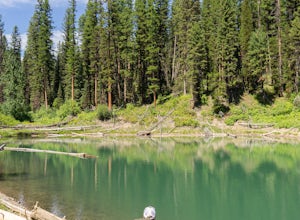
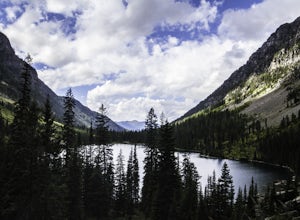
Hike to Dickey Lake
5.2 mi / 1463 ft gain*Parking for this hike is very limited, as the parking area can hold one, maybe two, vehicles. This 5.2 mile roundtrip hike begins near Essex, Montana, at 4,620 feet of elevation, and leads to a small, hidden lake nestled in the Great Bear Wilderness. Immediately after leaving the parking area, ...Read more -
Essex, Montana
Cross Country Ski at Izaak Walton Inn
The Izaak Walton Inn was established in 1939 to accommodate workers and visitors from the rapid expansion of the Great Northern Railway. Conveniently built near Highway two, it is a short drive from both the West Glacier and East Glacier Entrances. If driving from West Glacier, continue on Highwa...Read more -
Hungry Horse, Montana
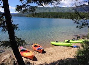
Relax at Spotted Bear Beach
Spotted Bear Beach is a secluded white sand beach in the middle of Montana. To get here from the town of Hungry Horse, drive east on Highway 2 for ½ mile to the East Side Reservoir Road #38. Turn right (south) onto Road #38 and drive on through the town of Martin City. After two miles the pavemen...Read more -
Bigfork, Montana
Summit Swan Peak
18.49 mi / 6180 ft gainThis hike is about an hour drive south from Kalispell. Follow MT-83 S for about 47 mi. towards and past Swan Lake. Take a left on NF-554 and follow the road for 1.6 mi. and take a right on Squeezer Creek Rd. and follow the road for 4 mi. to a gated road and park near the gate. Follow the gated ro...Read more -
West Glacier, Montana
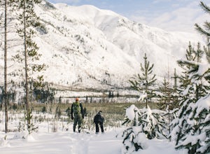
Snowshoe Skiumah Trail
1.9 miThe trailhead for Skiumah Creek Trail is located just off of highway 2, and is well marked from both directions of the road. It is roughly 15 miles East on Highway 2 from the West Glacier Entrance of Glacier National Park. Parking is located on the other side of Highway 2 than the actual trailhea...Read more -
Columbia Falls, Montana
Hike to Apgar Lookout
4.57 mi / 1850 ft gainPrecursor: I completed this hike in November, hence the snow in the photos. Due to a lack of tree coverage, this hike is best suited for a cool summer day, or in the late spring and early autumn. It is doable in the heat of the summer, but be sure to pack plenty of water. This hike begins by tre...Read more -
Whitefish, Montana
Hike Whitefish Mountain via the Danny On Trail
5.07.6 mi / 2250 ft gainThe Danny On Trail starts from the base area of Whitefish Mountain Ski Resort and zig zags its way up to the summit. The trailhead is near the Chalet building/Hellroaring Saloon upper parking lot (there's a big sign). The trail passes through Douglas fir, western larch, spruce and fir trees. The ...Read more -
West Glacier, Montana
Swim at the Belton Bridge
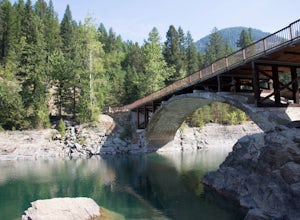
2.0The Belton Bridge is the old entrance to glacier. You can get there by turning right down old river bridge road, which is the first right when you turn in to the West Glacier village. There are some 5-8 ft rocks to jump off, but be sure to check the water below them first. The water is gorgeous, ...Read more -
West Glacier, Montana
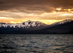
Capture Sunrise or Sunset at Lake McDonald
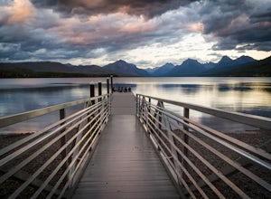
5.0Lake McDonald doesn't offer the close-up views of glaciers and mountains like some of the other spots in Glacier NP, but it does offer sweeping views of park's west side. The most popular spot to photograph this grand perspective is along the southwest beach and dock. The dock makes the most in...Read more -
West Glacier, Montana
Kayak Lake McDonald
5.0Rent kayaks at the shore of Lake McDonald and take them out for the day. Make sure to start early to get a full day in and leave yourself enough time to stop for lunch. There are multiple places to pull off and bring your kayaks onto the shore and do some small hikes. The views are spectacular fr...Read more -
Flathead County, Montana
Snowshoe the North Fork Area of the Flathead River
1.5 mi / 0 ft gainStarting in Columbia Falls, MT, which is 17 miles from Kalispell, MT, locate North Fork Road off of Railroad Street. Follow North Fork Road about 17 miles. While along the Flathead River, there are many Forest Service roads that are accessible to snowshoe along. There are roads that lead to the F...Read more -
Hungry Horse, Montana
Hike to the Blue Lakes
2 mi / 100 ft gainThe drive out to the trailhead where this hike starts is an adventure in and of itself. As the Forest Service website describes it. "Silvertip Trailhead is accessed from Highway 2. From the town of Hungry Horse, drive east on Highway 2 for ½ mile to the East Side Reservoir Road #38. Turn right (s...Read more -
West Glacier, Montana
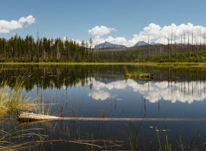
Hike to Howe Lake
4 mi / 240 ft gainThe hike begins along the Inner North Fork road across from a small parking area. The trail meanders up a slight incline most of the way through areas of a recent fire, as well as some areas with spectacular wildflowers when it gets a bit more lush. Around 1.7 miles in you will go up a relatively...Read more -
West Glacier, Montana
Backpack to Lincoln Lake
16.75 mi / 3747 ft gainIt's a 1600 ft slow increase in elevation. You can walk around the loose rocks going around the lake for an additional 2 miles of hiking. There is a back-country campground at the base of the glacier-fed lake and an amazing waterfall at the opposite end of the of the campground. To camp overnig...Read more -
West Glacier, Montana
Camp at Sprague Creek Campground on Lake McDonald
4.5Ten miles long and nearly 500 feet deep, Lake McDonald, the largest lake in Glacial National Park. Sprague Creek is a small 25-site campground on the northeast shore of the lake, about 9 miles from the west entrance of the park. Campsites are on a first-come, first-serve basis and fill up early....Read more -
Flathead County, Montana
Hike Glacier View Mountain
5.04 mi / 2880 ft gainDriving north from Columbia Falls, MT for 20 miles, park after the junction of the Camas Road and the North Fork Road. This parking area is directly after the junction on the east side of the road and the trail begins on the west side of the road.The beginning of the trail is started with many sw...Read more

