Schroeder, Minnesota
Looking for the best photography in Schroeder? We've got you covered with the top trails, trips, hiking, backpacking, camping and more around Schroeder. The detailed guides, photos, and reviews are all submitted by the Outbound community.
Top Photography Spots in and near Schroeder
-
Bayfield, Wisconsin
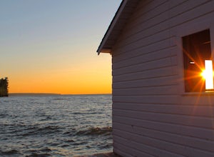
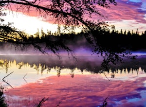
Catch a Sunset at Hokneson Fishery
0.16 mi / 11 ft gainBegin at the campground visitor center. Follow the marked paved trail right roughly .08 of a mile. The paved trail ends onto a sandy beach and the abandoned Hokenson Fishery. The trail itself is very short and should take less than 3 minutes to get to.Read more -
Bayfield, Wisconsin
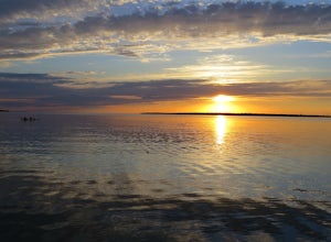
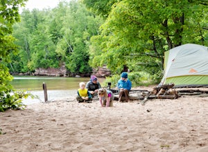
Camp at Little Sand Bay Campground
5.0On a road trip from Kanasas City, MO to explore Lake Superior we stumbled across this amazing campground right on the shore of Lake Superior, Little Sand Bay Campground (34155 State Highway 13, Bayfield, WI 54814). After a long drive, you may want to take a nap :) Once you wake up, check out Mort...Read more -
Grand Marais, Minnesota
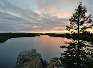
Catch a Sunset at Honeymoon Bluff
5.00.5 mi / 128 ft gainGetting to the trailhead:The trailhead for the Honeymoon Bluff trail is just off of Co 66 (Clearwater Rd) which is 30 miles up the Gunflint Trail. From Grand Marais, turn north on the Gunflint Trail (Co Rd 12) and go about 27 miles until you reach Co 66. Turn right and continue for 3.25 miles to ...Read more -
Grand Marais, Minnesota
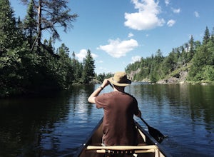
Canoe to the Palisades on Seagull Lake in the BWCA
Begin your trip at the Seagull Lake boat launch at Trail's End Campground. The campground, located in Superior National Forest at the very end of the Gunflint Trail, is an hour and half drive from the nearest town of Grand Marais and is a great place to stay the night before. There are no motors ...Read more -
Grand Marais, Minnesota
Paddle the Boundary Waters' Seagull to Saganaga Loop
29 miFirst, things first - plan your trip well! There are many details that need to go into planning even a short trip into the Boundary Waters. Various websites and companies exist to help you plan and check off all of the boxes prior to your departure date. The bwca.com website is one I found to be ...Read more -
Grand Marais, Minnesota
Camp at Trail's End Campground
5.0Trail's End Campground is located at the very end of the Gunflint Trail, a remote highway that cuts into the heart of the Minnesota Northwoods. Catch the Gunflint Trail in Grand Marais along Highway 61 on the North Shore of Lake Superior. From Grand Marais, you'll wind your way sixty miles along ...Read more -
Grand Marais, Minnesota
Hike to Devil's Kettle
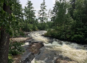
4.32 miFor those who enjoy waterfalls, the Devil's Kettle waterfall is a must see. The Devil's Kettle trail will lead you to perhaps one of Minnesota's most unusual waterfalls along the North Shore. This waterfall of the Brule River is unique in that the river splits into two; with one half dropping 5...Read more -
Bayfield, Wisconsin
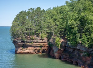
Kayak to the Mainland Sea Caves
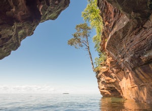
5.0GETTING THERE Start your paddle from Meyer’s Beach just off of Highway 13. There is a $5 fee to park in the lot at Meyer’s Beach. At the parking lot there is an area to unload your gear near the stairs that lead to the lake, down which you will need to carry your boat & gear. The area is usua...Read more -
Bayfield, Wisconsin
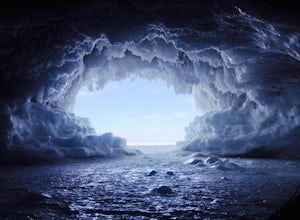
Hike the Lake Superior Ice Caves
5.01 miBegin at Meyer's Beach in the Apostle Islands National Lakeshore near Cornucopia, WI. There is a parking lot, but get there early in the day to get a spot and make sure to use the bathroom before heading out. There is no opportunity on the ice.Head out onto the frozen lake and follow the shorelin...Read more -
Bayfield, Wisconsin
Meyer's Beach Sea Cave Trail
4.33 mi / 791 ft gainWhile many visitors view the mainland Apostle Island Caves via kayak, this trail provides an alternative view of the caves. The Meyer’s Beach Sea Cave Trail follows 2.3 miles of the Lakeshore Trail, which begins at the Meyer’s Beach parking lot near Cornucopia, Wisconsin. The first 0.7 miles of t...Read more -
La Pointe, Wisconsin
Camp on Stockton Island
5.0To get out to the Apostle Islands you have to travel by boat. Many people choose to sea kayak, but with small kids we opted to take the ferry/taxi through the Apostle Islands concierge (apostleisland.com ). However, there was one man who brought his kayak over on the ferry and then paddled around...Read more -
Ely, Minnesota
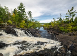
Kawishiwi Falls
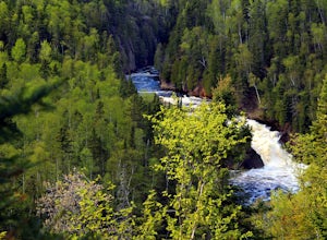
4.01 mi / 121 ft gainThe trail to Kawishiwi Falls begins at the parking lot and winds through a wooded trail with minimal elevation gain. There are several different vantage points of the falls that are accessible from the trail (above, below, and from the side). The trail is also part of the portage between Garden a...Read more -
Cornucopia, Wisconsin
Siskiwit Falls
3.00.35 mi / 7 ft gainSiskiwit Falls is located on the Siskiwit River in Cornucopia. There are a few different drops and slides along the river that can be easily explored. To access the falls (from Bayfield), follow Highway 13 to County Rd C, and take a left on Siskiwit Falls Road. There is a bridge shortly after th...Read more

