Finland, Minnesota
Top Spots in and near Finland
-
Two Harbors, Minnesota
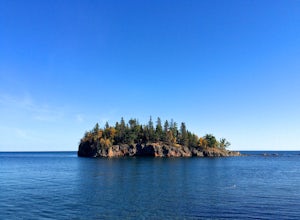
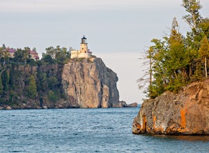
Hike Split Rock Lighthouse State Park to Corundum Point
5.8 mi / 300 ft gainOn November 28, 1905, a violent storm hit Split Rock Point on the North Shore of Lake Superior. While large storms aren't unusual at Split Rock, this particular storm resulted in the destruction of twenty-nine ships on the lake in a single day, prompting the construction of Split Rock Lighthouse....Read more -
Two Harbors, Minnesota
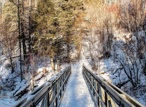
Snowshoe the Split Rock River Loop Trail
3.05 mi / 280 ft gainBeginning at the Split Rock Wayside rest stop, start your hike up the Spur Trail. About half a mile in, the Spur Trail will junction with the Superior Hiking Trail. The trail gradually ascends along the west side of the Split Rock River. Within the first mile, you will cross over a small bridg...Read more -
Two Harbors, Minnesota
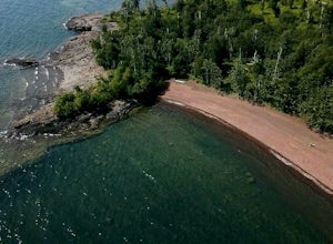
Thompson Beach
Thompson Beach is a Minnesota DNR public access beach. Camping is an excellent option, but they ask that you limit it to one night. Camping access is by paddle-in only. There are two easy places to launch your boat from, one from the north Twin Points Protected Access. From there it is about a mi...Read more -
Schroeder, Minnesota
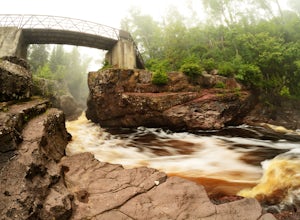
Explore the Temperance River Gorge
5.0Temperance River State Park is located near Schroeder, and parking can be found alongside Highway 61 for easy access to the trail following the riverbed. There are two main falls that shape the gorges -- one just north of the highway and the other below the footbridge that is just south of the hi...Read more -
Schroeder, Minnesota
Hike to Carlton Peak
4.06.2 mi / 325 ft gainOne of the trailheads for this hike begins at Temperance River State Park. Parking can be found alongside Highway 61. The Superior Hiking Trail passes through this park and this is the trail you will follow to reach Carlton Peak. The trail follows the Temperance River and is relatively flat until...Read more -
Two Harbors, Minnesota
Hike to the Fifth Falls of the Gooseberry River
3.82 mi / 100 ft gainGooseberry Falls State Park is the first State Park you hit traveling up the North Shore after leaving Duluth. Located 13 miles north of Two Harbors on Highway 61, Gooseberry Falls State Park a quick turn off of the highway which is very well marked with signs. Follow signs for Falls parking. Beg...Read more -
Two Harbors, Minnesota
Explore Gooseberry Falls
4.6Gooseberry Falls State Park is the first State Park you hit traveling up the North Shore after leaving Duluth. Located 13 miles north of Two Harbors on Highway 61, Gooseberry Falls State Park a quick turn off of the highway which is very well marked with signs. Follow signs for Falls parking.You ...Read more -
Two Harbors, Minnesota
Snowshoe to Corundum Point at Split Rock Lighthouse State Park
5.8 mi / 240 ft gainAlthough there are dozens of ways to do this trip and I encourage you to explore, I suggest one hike that I think does a good job of introducing this areas to new visitors. If you are planning on snowshoeing like I suggest, try to get a day with a good amount of fresh snow (6+ inches). Packed sno...Read more -
Two Harbors, Minnesota
Gitchi-Gami from Gooseberry to Split Rock
15.28 mi / 1440 ft gainThe Gitchi-Gami is a paved bike path that will eventually extend from Two Harbors to Grand Marais. As it currently stands (2015), there's a really great segment that starts in Gooseberry Falls State Park and runs all the way to the town of Beaver Bay (total of 16 miles one way). I chose to do a ...Read more -
Tofte, Minnesota
Hike to Britton Peak
0.6 miThis hike is very short and rewarding. It doesn't take longer than 15 minutes if you wanted to make it a quick pit stop before or after you hike Carlton Peak.From Hwy 61 just near Tofte, MN take Sawbill Trail. Go roughly 2.5 miles and the parking lot will be on your right. Once you are on the tra...Read more -
Tofte, Minnesota
Hike Oberg Mountain
4.52.3 mi / 230 ft gainThe hike to the top of Oberg Mountain is short and sweet. The trail starts off with a climb of roughly 230ft in about a half of a mile before getting to the top of Oberg Mountain. At the top of the climb the trail forks, you can go either way since the trail loops around the top. I suggest you go...Read more -
Lutsen, Minnesota
Hike to White Sky Rock
5.00.6 mi / 230 ft gainFrom Hwy 61 in Lutsen, you'll turn on Caribou Trail (Hwy 4). You'll drive about 4 miles and turn right for the public boat launch area. There will be a small parking area on your left before the boat launch. This trail is apart of the Superior Hiking Trail. Follow the short little trail up to the...Read more -
Grand Marais, Minnesota
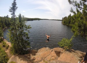
Cliff Jump at Beth Lake in the BWCA
Beth Lake is part of the "Lady Chain" of lakes in the Boundary Waters Canoe Area. It's secluded, serene and worth the trip, especially if you're up for an afternoon of cliff jumping.You can reach Beth Lake in half of a day, assuming you set out in the morning and are efficient with your time. But...Read more -
Grand Marais, Minnesota
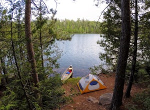
Camp at Alton Lake in the BWCA
5.0A trip to the Boundary Waters Canoe Area requires some planning ahead. First, you'll need to book a permit/reservation via recreation.gov. Specify how many people are in your group, the number of watercraft you plan to use and how many days you'll be in the BWCA. You'll also need to select a grou...Read more -
Bayfield, Wisconsin
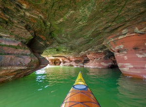
Kayak to the Sand Island Sea Caves
4.7Sand Island is a part of the Apostle Islands National Lakeshore near Bayfield, Wisconsin. You can (and will want to) explore the sea caves of Sand Island for hours, and this adventure will leave you wanting to explore more of the Apostle Islands National Lakeshore.GETTING THEREYou will start your...Read more -
Bayfield, Wisconsin
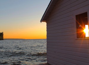
Catch a Sunset at Hokneson Fishery
0.16 mi / 11 ft gainBegin at the campground visitor center. Follow the marked paved trail right roughly .08 of a mile. The paved trail ends onto a sandy beach and the abandoned Hokenson Fishery. The trail itself is very short and should take less than 3 minutes to get to.Read more

