East Cook, Minnesota
Looking for the best hiking in East Cook? We've got you covered with the top trails, trips, hiking, backpacking, camping and more around East Cook. The detailed guides, photos, and reviews are all submitted by the Outbound community.
Top Hiking Spots in and near East Cook
-
Grand Marais, Minnesota
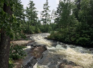
Camp at Trail's End Campground
5.0Trail's End Campground is located at the very end of the Gunflint Trail, a remote highway that cuts into the heart of the Minnesota Northwoods. Catch the Gunflint Trail in Grand Marais along Highway 61 on the North Shore of Lake Superior. From Grand Marais, you'll wind your way sixty miles along ...Read more -
Tofte, Minnesota
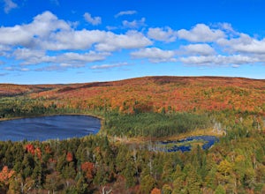
Hike Oberg Mountain
4.52.3 mi / 230 ft gainThe hike to the top of Oberg Mountain is short and sweet. The trail starts off with a climb of roughly 230ft in about a half of a mile before getting to the top of Oberg Mountain. At the top of the climb the trail forks, you can go either way since the trail loops around the top. I suggest you go...Read more -
Tofte, Minnesota
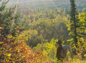
Hike to Britton Peak
0.6 miThis hike is very short and rewarding. It doesn't take longer than 15 minutes if you wanted to make it a quick pit stop before or after you hike Carlton Peak.From Hwy 61 just near Tofte, MN take Sawbill Trail. Go roughly 2.5 miles and the parking lot will be on your right. Once you are on the tra...Read more -
Kakabeka Falls, Ontario
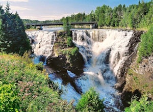
Explore Kakabeka Falls
3.00.5 miLocated a short distance from the entrance of Kakabeka Falls Provincial Park, Kakabeka Falls plunges 131 feet over sheer cliffs and is part of the Kaministiquia River. The gorge in which the falls cascade over host some of the oldest fossils in existence. The area was used centuries ago by Voyag...Read more -
Schroeder, Minnesota
Hike to Carlton Peak
4.06.2 mi / 325 ft gainOne of the trailheads for this hike begins at Temperance River State Park. Parking can be found alongside Highway 61. The Superior Hiking Trail passes through this park and this is the trail you will follow to reach Carlton Peak. The trail follows the Temperance River and is relatively flat until...Read more -
Eagle Harbor Township, Michigan
Backpack Windigo to South Lake Desor, Isle Royale NP
11.3 mi / 1400 ft gainThis guide assumes that hikers have already made their journey by either float plane or charter ship to the Windigo Port on the West end of the island of Isle Royale National Park.As mentioned above, this section hike of the Greenstone Ridge Trail partitions off one of the NUMEROUS options one ca...Read more -
Eagle Harbor Township, Michigan
Hike to Huginnin Cove in Isle Royale NP
9.4 mi / 0 ft gainHuginnin Cove is located on the west side of the island close to Windigo and is a great day hike. Many people feel it's an even better overnight trip. If you're going to be spending the night on the island, you must first go through the orientation with park staff and then get your permit. The...Read more -
Eagle Harbor Township, Michigan
Backpack Isle Royale NP's Greenstone Ridge Trail
5.041.12 mi / 3235 ft gainIsle Royale National Park consists of Isle Royale, a fifty mile long and nine mile wide island in Lake Superior, and about 45 smaller islands around (and within) it. Remote and undeveloped, the shores can be visited by watercraft, but the only way to see the interior is to walk across it. Because...Read more

