Worcester, Massachusetts
Looking for the best photography in Worcester? We've got you covered with the top trails, trips, hiking, backpacking, camping and more around Worcester. The detailed guides, photos, and reviews are all submitted by the Outbound community.
Top Photography Spots in and near Worcester
-
Jaffrey, New Hampshire
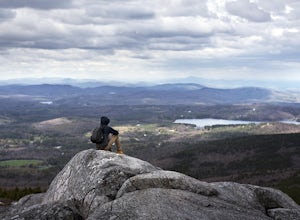
Mount Monadnock via White Dot & White Cross Loop
4.53.7 mi / 1686 ft gainThe White Dot Trail is the shortest, steepest ascent to the summit, while White Cross has a slightly easier grade down with very little difference in distance. Therefore, per the park's rangers, the best way to conquer this loop is White Dot up, White Cross down.The White Dot Trail begins at Mon...Read more -
Jaffrey, New Hampshire
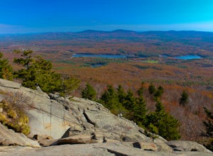
Mount Monadnock via White Dot Trail
4.43.46 mi / 1699 ft gainMonadnock State Park is located in and around the 3,165-ft. Mount Monadnock. Mount Monadnock is crisscrossed by many miles of well-maintained hiking trails. The popular White Dot Trail (2.2 miles) is the shortest but steepest ascent to the summit, accessible from the Monadnock State Park headquar...Read more -
Jaffrey, New Hampshire
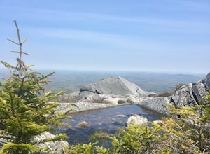
Summit Mt. Monadnock via Marlboro Trail
5.04 mi / 2300 ft gainStart at the Marlboro Trailhead (you can enter this in Google maps) off Shaker Road. There's parking and porta-potty bathrooms. The trail is well-marked with white dashes/M marks all the way up. Once on trail, the initial 800 ft climb is through forested terrain with a few brooks and streams alon...Read more -
Hull, Massachusetts
Explore the Bunkers at Fort Revere
Fort Revere is an 8-acre (3.2 ha) historic site situated on a small peninsula located in Hull, Massachusetts. It is situated on Telegraph Hill in Hull Village and contains the remains of two seacoast fortifications, one from the American Revolution and one that served 1898-1947. There are also a ...Read more -
Franklin, Connecticut
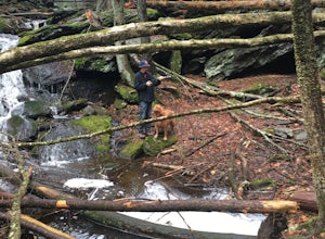
Hike Baileys Ravine at Ayer's Gap Preserve
1.6 mi / 314 ft gainIt's steep and rocky in the beginning but it levels out after a while! When standing in the parking lot, the trailhead is hidden! Look to the right. The trail ends on Ayer's Road so you have to walk back a little ways on the road.Read more -
Bedford, New Hampshire
Pulpit Rock Conservation Area Loop
4.82.4 mi / 0 ft gainWe began our hike at Kennard Trailhead, which is easy to miss if you aren’t looking for it. The approximate GPS address is 596 New Boston Road, Bedford, NH, though in reality the parking area is about 0.2 miles west of the junction of New Boston Rd and Esther Drive.These trails are very well mai...Read more

