Plymouth, Massachusetts
Looking for the best photography in Plymouth? We've got you covered with the top trails, trips, hiking, backpacking, camping and more around Plymouth. The detailed guides, photos, and reviews are all submitted by the Outbound community.
Top Photography Spots in and near Plymouth
-
Norwell, Massachusetts
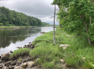
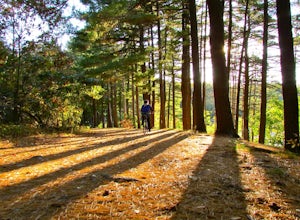
Hike the Norris Reservation Loop
2.4 mi / 60 ft gainChoose from multiple trails in Norris that offer beautiful views of the the North river and marshland. Great spot to do some trail running through the woods and see the river too. There is also a pond a short distance from the parking lot that offers a great fishing spot with a picnic table nearb...Read more -
Provincetown, Massachusetts
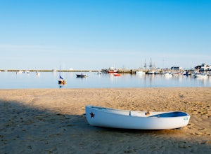
Camp in Provincetown at Dunes' Edge Campground
Cape Cod, Massachusetts is full of campgrounds and dunes to explore, but the best of the two are located at the very end of the cape, around the areas of Truro and Provincetown.Travel to the very beginning (or end, depending on how you look at it) of historic U.S. Route 6, which spans from Provin...Read more -
Quincy, Massachusetts
Hike The Skyline Trail at Blue Hills
4.012.7 mi / 2542 ft gainPark in the lot across from Batterymarch Rd off of Willard St. Access the Skyline trail from here, it is marked blue. Follow the signs. The trails in Blue Hills are perfect for training for backpacking because they are so steep and rocky. I would fill up a big pack and take the skyline trail up t...Read more -
Hull, Massachusetts
Explore the Bunkers at Fort Revere
Fort Revere is an 8-acre (3.2 ha) historic site situated on a small peninsula located in Hull, Massachusetts. It is situated on Telegraph Hill in Hull Village and contains the remains of two seacoast fortifications, one from the American Revolution and one that served 1898-1947. There are also a ...Read more -
Provincetown, Massachusetts
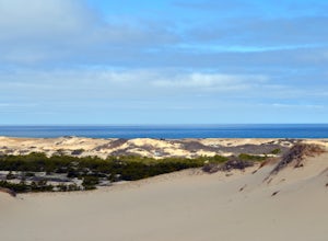
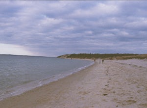
Hike Provincetown Dunes on the Cape Cod National Seashore
4.82.8 mi / 287 ft gainBegin your journey from a small parking area that holds 3 cars just off route 6 (additionally you can park on the side of the road) The trail head is unmarked until about 50' into the woods where you will find a sign describing the rich history of the area. Continue up the large sand dune immedia...Read more -
Dartmouth, Massachusetts
Hike Frank Knowles–Little River Reserve Trail
4.64 mi / 295 ft gainFrank Knowles-Little River Reserve contains nearly 9 miles of hiking trails to explore. Start off by parking in the white sea shell parking lot. From there you will find the trail marked by a DNRT sign . My group and I walked along the red/boardwalk trail which features a number of boardwalks lea...Read more -
Boston, Massachusetts
Freedom Trail
4.72.9 mi / 121 ft gainPark along the trail and then hop on. The Freedom Trail allows you to not only see the most beautiful parts of Boston (which is an absolutely gorgeous city) but you can learn some history too! Head off the trail a bit to explore the Charles River, the waterfront near the aquarium and picturesque ...Read more -
Boston, Massachusetts
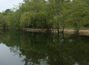
Run the Jamaica Pond and Victorian Jamaica Plain Loop
5.01.5 mi / 95 ft gainPark in the Jamaica Pond parking area. You can go either direction on this loop trail, which is highly trafficked and dog-friendly. Keep a lookout for (and a respectful distance from) the wildlife that live here. The loop around Jamaica Pond itself is 1.5 miles. The best part about running in thi...Read more -
West Tisbury, Massachusetts
Photograph Lambert's Cove
While there are a number of beaches on Martha's Vineyard, many of the more well known and popular ones can easily get over crowded. The less widely known Lambert's Cove, however, is a gem that will not disappoint. To access Lambert's Cove in the summer season, you'll need to get or borrow a pas...Read more -
Westport, Massachusetts
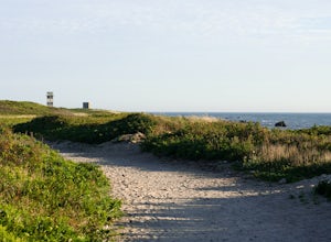
Hike Gooseberry Island
1.5 mi / 36 ft gainBegin an hour before sunset at the intersection between West Beach and East Beach Road. The intersecting roads will lead you to a paved causeway over the ocean. Waves typically clash on either side of you as you drive over the ocean. There is a free parking lot once you reach the opening. To reac...Read more -
Eastham, Massachusetts
Visit Nauset Lighthouse
4.0Nauset Light, officially Nauset Beach Light, is a restored lighthouse on the Cape Cod National Seashore near Eastham, Massachusetts, erected in 1923 using the 1877 tower that was moved here from the Chatham Light. It was moved to Eastham in 1923 to replace the Three Sisters of Nauset, three smal...Read more -
Medford, Massachusetts
Hike Southern Middlesex Fells Loop
4.73.5 mi / 756 ft gainPark in the parking area near Bellevue Pond. There are multiple entrances to the reservation (some closer to the reservoir itself than others). I have spent days in there hiking around and never seeing the water and there are days when I just hiked right in to the water and sat and enjoyed it. Th...Read more -
Edgartown, Massachusetts
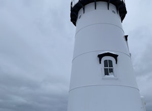
Visit Edgartown Lighthouse
If you're looking for a quick way to get your steps in while taking in beautiful ocean views and the salty air, the walk to the Edgartown Lighthouse is the perfect activity. It's an easy, straight-line trail that will take you directly onto Lighthouse Beach. In the summer, the beach is a beauti...Read more -
Middletown, Rhode Island
Birdwatch at Sachuest Point
1.5 miA trip to Aquidneck Island would not be complete without a quick walk around Sachuest Point. I highly recommend this hike at sunrise, but any time of the day (or year) is great! This nature preserve is home to a large population of tourist-friendly deer, and is visited every winter by at least tw...Read more -
North Smithfield, Rhode Island
Hike the Fort Wildlife Refuge
1 miThe parking area is about 50 yards down the dirt driveway on your right. Take care in the spring, as the parking lot can become a mud pit! This wildlife refuge is a series of loops which lead to three different ponds. These directions are for the 'Pond One' loop. When you start on the trail, sta...Read more -
Blackstone, Massachusetts
Hike the Blackstone Gorge Trail
5.00.7 mi / 72 ft gainPark at the lot at the corner of Staples Lane and County Street. From here you can access the Blackstone Gorge Trail. Dogs are allowed on leash, and you can enjoy various paths along the river or through the forest. At multiple points you can find yourself looking down at the Blackstone River fro...Read more

