Massachusetts
Looking for the best hiking in Massachusetts? We've got you covered with the top trails, trips, hiking, backpacking, camping and more around Massachusetts. The detailed guides, photos, and reviews are all submitted by the Outbound community.
Top Hiking Spots in and near Massachusetts
-
Great Barrington, Massachusetts
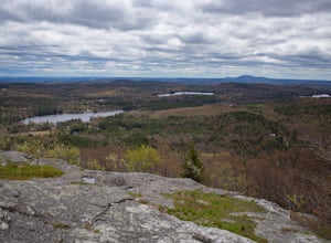
Hike Monument Mountain
4.02 mi / 720 ft gainAt 1642 feet (with a total elevation gain of 720 feet), Squaw Peak is a great spot to see both Mt Greylock along the Vermont border, and the Catskills in New York. There are several trail options here to get to the summit, but no matter which combination you choose, you can keep your trip under ...Read more -
Westport, Massachusetts
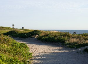
Hike Gooseberry Island
1.5 mi / 36 ft gainBegin an hour before sunset at the intersection between West Beach and East Beach Road. The intersecting roads will lead you to a paved causeway over the ocean. Waves typically clash on either side of you as you drive over the ocean. There is a free parking lot once you reach the opening. To reac...Read more -
Acton, Massachusetts
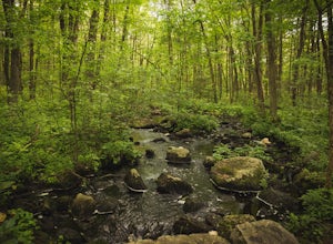
Hike the Pratt's Brook Conservation Area Loop
4.01.5 mi / 85 ft gainPark in the small parking area right before the trailhead. *Notice this parking area is small and only fits about 3-4 cars so prepare to find street parking on a busy day. You can punch in the coordinates to a GPS if you need help finding it: 42.4545482, -71.4358192. The loop is very diverse wit...Read more -
Williamstown, Massachusetts
Hike Mt. Greylock via Money Brook Trail
9.7 mi / 3034 ft gainPark in the parking lot on Hopper Rd. Walk to the end of the road where you will find the Hopper Trailhead. Take the right fork. The Money Brook trail will take you to a waterfall, the Mt. Greylock summit, and back to the end of Hopper Rd. The trail is long but worth the hike, exploring parts of ...Read more -
Ashburnham, Massachusetts
Summit Mount Watatic via the Wapack Trail
5.03 mi / 800 ft gainEntering Mount Watatic in your GPS will take you to Rindge State Road (119), continue about two minutes down the road past where the GPS tells you. on the Right hand side you will will see a sign for Mount Watatic Parking area or just enter in coordinates: 42.696796, -71.904521 You will begin the...Read more -
Randolph, Massachusetts
Hike the Ponkapoag Pond Trail
4.03.82 mi / 173 ft gainPark at the end of Ponkapoag Trail Road to access the trail. Dog friendly, open year round.Read more -
Ashland, Massachusetts
Hike the Ashland Reservoir Trail
5.03.2 mi / 68 ft gainPark in the lot on State Park Road (see map) to access the trail. It's a popular trail that is dog-friendly. Pay attention to the trail as at parts it is not well marked.Read more -
Harvard, Massachusetts
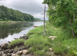
Hike along the Nashua River and the Oxbow National Wildlife Refuge
9.5 mi / 0 ft gainPark in the lot on Tank Road to access the Nashua River Trail. Keep your eyes peeled for turtles, chipmunks, birds, and other wildlife! This trail is open from April to October. The trail can become flooded and muddy after a rain/ snow, so for a shorter alternative to the 9.5 miles, you can take...Read more -
Chilmark, Massachusetts
Menemsha Hills Reservation Loop
5.02.98 mi / 344 ft gainGPS service in densely wooded areas on the Vineyard is hard to come by, so plugging in Menemsha Hills Reservation before getting on the road is advised. Traveling down N Road, you'll find an unmarked gravel road located between Turtle Cove and Trustees Lane. A short 400 meter drive will take you ...Read more -
Sheffield, Massachusetts
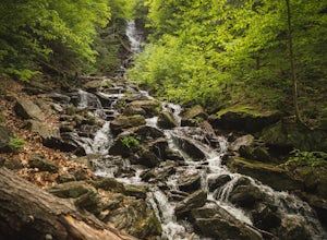
Hike to Race Brook Falls
4.03.4 mi / 1174 ft gainHiking along the Appalachian trail I made a detour in Mt Everett State reservation. About a 2.5 mile detour lead me down to a beautiful 100ft waterfall called Race Brook falls. The waterfall felt made me feel like i was in the tropical jungle in Hawaii. Adding to the beauty of the waterfall were ...Read more -
Stockbridge, Massachusetts
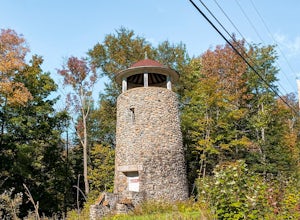
Laura's Tower and Ice Glen
5.02.4 mi / 676 ft gainYou will park at the end of Park Street in Stockbridge, Massachusetts. From the parking are you will cross a beautiful bridge over the Housatonic River. The trail crosses railroad tracks and immediately begins to climb into the woods. You will reach a split in the trail, a left will take you...Read more -
Provincetown, Massachusetts
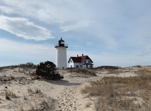
Explore Hatches Harbor and Race Point
5.03.3 miHatches Harbor & Race Point Lighthouse trail is not super long or difficult. Pretty straight forward, at least up to Hatches Harbor. There is a small parking lot that fits about six cars off Province Lands Rd. I think we had a good amount of rain leading up to that day and the trail reflect...Read more -
Savoy, Massachusetts
Tannery Falls Loop
0.54 mi / 135 ft gainThe hike to Tannery Falls may be a little confusing, I'll clear it up for you before you even go there! To get to The falls you will travel down a dirt road that isn't very well maintained during the winter. As you keep driving down the dirt road you will notice a pond , which means you are almos...Read more -
Norwell, Massachusetts
Hike the Norris Reservation Loop
2.4 mi / 60 ft gainChoose from multiple trails in Norris that offer beautiful views of the the North river and marshland. Great spot to do some trail running through the woods and see the river too. There is also a pond a short distance from the parking lot that offers a great fishing spot with a picnic table nearb...Read more -
Truro, Massachusetts
Hike the Pamet Area Trail
1.9 miPamet Area Trail is in Truro, towards the ocean within the Cape Cod National Seashore. As we were driving to the parking area it felt like it was wrong, as it often does. There was a dead end and school signs, which are for the N.E.E.D. Academy (apparently also doubles as a hostel during the su...Read more -
Marlborough, Massachusetts
Hemingway Street Trail
1.73 mi / 197 ft gainHemingway Street Trail is an out-and-back trail that provides a good opportunity to view wildlife located near Marlborough, Massachusetts.Read more

