Concord, Massachusetts
Looking for the best photography in Concord? We've got you covered with the top trails, trips, hiking, backpacking, camping and more around Concord. The detailed guides, photos, and reviews are all submitted by the Outbound community.
Top Photography Spots in and near Concord
-
Newbury, Massachusetts
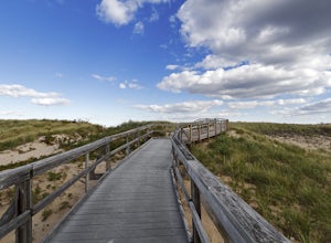
Explore the Parker River National Wildlife Refuge
4.66.5 miLocated just north of Boston, Parker River National Wildlife Refuge was established in 1941 to provide feeding, resting, and nesting habitat for migratory birds. The refuge lands are both scenic and diverse, with approximately 4700 acres of habitats including sandy beach and dune, cranberry bog, ...Read more -
North Smithfield, Rhode Island
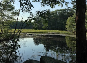
Hike the Fort Wildlife Refuge
1 miThe parking area is about 50 yards down the dirt driveway on your right. Take care in the spring, as the parking lot can become a mud pit! This wildlife refuge is a series of loops which lead to three different ponds. These directions are for the 'Pond One' loop. When you start on the trail, sta...Read more -
Bedford, New Hampshire
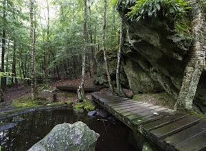
Pulpit Rock Conservation Area Loop
4.82.4 mi / 0 ft gainWe began our hike at Kennard Trailhead, which is easy to miss if you aren’t looking for it. The approximate GPS address is 596 New Boston Road, Bedford, NH, though in reality the parking area is about 0.2 miles west of the junction of New Boston Rd and Esther Drive.These trails are very well mai...Read more -
Douglas, Massachusetts
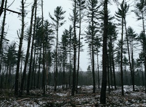
Hike the Coffeehouse Loop, Douglas State Forest
3.02.2 mi / 500 ft gainDouglas State Forest is located off of Rte 16 in south central Massachusetts. To access trails and the lake, head to the parking area on Wallum Lake Park Road. From the parking lot, you can access the Coffeehouse Loop Trail, as well as a few other shorter trails by the lake. The Coffeehouse Loop ...Read more -
Temple, New Hampshire
Hike the North & South Peaks of Pack Monadnock
5.08.3 mi / 2290 ft gainThis route will take you to both peaks and on most of the trails in this section of the park! Take the Wapack Trail (1.4 miles, rocky, challenging) to the summit of South Pack (2290') and climb the fire tower for some incredible views! On a clear day, you can see the Boston skyline. Then continue...Read more -
Jaffrey, New Hampshire
Mount Monadnock via White Dot & White Cross Loop
4.53.7 mi / 1686 ft gainThe White Dot Trail is the shortest, steepest ascent to the summit, while White Cross has a slightly easier grade down with very little difference in distance. Therefore, per the park's rangers, the best way to conquer this loop is White Dot up, White Cross down.The White Dot Trail begins at Mon...Read more -
Jaffrey, New Hampshire
Mount Monadnock via White Dot Trail
4.43.46 mi / 1699 ft gainMonadnock State Park is located in and around the 3,165-ft. Mount Monadnock. Mount Monadnock is crisscrossed by many miles of well-maintained hiking trails. The popular White Dot Trail (2.2 miles) is the shortest but steepest ascent to the summit, accessible from the Monadnock State Park headquar...Read more -
Jaffrey, New Hampshire
Summit Mt. Monadnock via Marlboro Trail
5.04 mi / 2300 ft gainStart at the Marlboro Trailhead (you can enter this in Google maps) off Shaker Road. There's parking and porta-potty bathrooms. The trail is well-marked with white dashes/M marks all the way up. Once on trail, the initial 800 ft climb is through forested terrain with a few brooks and streams alon...Read more

