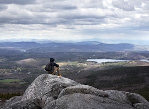
Boxborough, Massachusetts
Top Spots in and near Boxborough
-
-
Ashburnham, Massachusetts
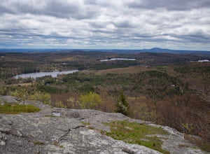
Entering Mount Watatic in your GPS will take you to Rindge State Road (119), continue about two minutes down the road past where the GPS tells you.
on the Right hand side you will will see a sign for Mount Watatic Parking area or just enter in coordinates: 42.696796, -71.904521
You will begin the...
Read more
-
Boston, Massachusetts
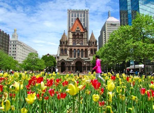
Park along the trail and then hop on. The Freedom Trail allows you to not only see the most beautiful parts of Boston (which is an absolutely gorgeous city) but you can learn some history too! Head off the trail a bit to explore the Charles River, the waterfront near the aquarium and picturesque ...
Read more
-
-
Sutton, Massachusetts
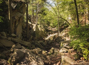
For this 1-mile hike, you can park at the Purgatory Chasm Visitor Center. From there hit the trail and explore the unusual gap between the tall granite walls, which might be adorned with climbers. Great for all ages and dogs are welcome too. The trail is open March-November.
Read more
-
-
-
Quincy, Massachusetts
4.0
12.7 mi
/ 2542 ft gain
Park in the lot across from Batterymarch Rd off of Willard St. Access the Skyline trail from here, it is marked blue. Follow the signs. The trails in Blue Hills are perfect for training for backpacking because they are so steep and rocky. I would fill up a big pack and take the skyline trail up t...
Read more
-
Temple, New Hampshire
5.0
8.3 mi
/ 2290 ft gain
This route will take you to both peaks and on most of the trails in this section of the park!
Take the Wapack Trail (1.4 miles, rocky, challenging) to the summit of South Pack (2290') and climb the fire tower for some incredible views! On a clear day, you can see the Boston skyline. Then continue...
Read more
-
Temple, New Hampshire
Miller State Park is the oldest State park in New Hampshire and offers the perfect spring, summer or fall hike. From the parking area, visitors can choose from one of three trails: The Marion Davis Trail (1.4 miles to peak), The Wapack Trail (1.4 miles to peak) or the Auto-road (~ 1.0 miles to pe...
Read more
-
Blackstone, Massachusetts
Park at the lot at the corner of Staples Lane and County Street. From here you can access the Blackstone Gorge Trail. Dogs are allowed on leash, and you can enjoy various paths along the river or through the forest. At multiple points you can find yourself looking down at the Blackstone River fro...
Read more
-
Bedford, New Hampshire
We began our hike at Kennard Trailhead, which is easy to miss if you aren’t looking for it. The approximate GPS address is 596 New Boston Road, Bedford, NH, though in reality the parking area is about 0.2 miles west of the junction of New Boston Rd and Esther Drive.These trails are very well mai...
Read more
-
Hull, Massachusetts
Fort Revere is an 8-acre (3.2 ha) historic site situated on a small peninsula located in Hull, Massachusetts. It is situated on Telegraph Hill in Hull Village and contains the remains of two seacoast fortifications, one from the American Revolution and one that served 1898-1947. There are also a ...
Read more
-
Douglas, Massachusetts
Douglas State Forest is located off of Rte 16 in south central Massachusetts. To access trails and the lake, head to the parking area on Wallum Lake Park Road. From the parking lot, you can access the Coffeehouse Loop Trail, as well as a few other shorter trails by the lake. The Coffeehouse Loop ...
Read more
-
North Smithfield, Rhode Island
The parking area is about 50 yards down the dirt driveway on your right. Take care in the spring, as the parking lot can become a mud pit!
This wildlife refuge is a series of loops which lead to three different ponds. These directions are for the 'Pond One' loop. When you start on the trail, sta...
Read more
-
Jaffrey, New Hampshire
4.5
3.7 mi
/ 1686 ft gain
The White Dot Trail is the shortest, steepest ascent to the summit, while White Cross has a slightly easier grade down with very little difference in distance. Therefore, per the park's rangers, the best way to conquer this loop is White Dot up, White Cross down.The White Dot Trail begins at Mon...
Read more


