Silver Spring, Maryland
Looking for the best photography in Silver Spring? We've got you covered with the top trails, trips, hiking, backpacking, camping and more around Silver Spring. The detailed guides, photos, and reviews are all submitted by the Outbound community.
Top Photography Spots in and near Silver Spring
-
Harpers Ferry, West Virginia
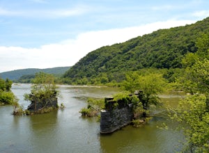
Hike Weverton Cliffs Overlook from Harpers Ferry
5.08.2 mi / 925 ft gainParking and trail head: Park at the Harpers Ferry Visitors Center for $10 (171 Shoreline Dr, Bolivar, WV 25425) and take the shuttle a mile and a half to lower town (free). Walk straight from the shuttle to the large bridge. Cross the bridge to hop on the C&O canal trail. This is the point w...Read more -
Harpers Ferry, West Virginia
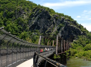
Hike Maryland Heights via Harpers Ferry
4.54.2 mi / 800 ft gainParking and trail head: Park at the Harpers Ferry Visitors Center for $10 (171 Shoreline Dr, Bolivar, WV 25425) and take the shuttle a mile and a half to lower town (free). Walk straight from the shuttle to the large bridge. Cross the bridge and take a left on the C&O Canal trail. You will s...Read more -
Bluemont, Virginia
Hike to Raven Rock
4.35 mi / 1000 ft gainStarting at a small parking lot right off of Route 7 (wuick right onto Pine Grove Road) this hike takes you North on the Appalachian Trail in a very hilly/rocky part of the trail. Expect to gain and lose 300 feet+ multiple times! It's about 2.5 miles each way so budget at least a few hours to go ...Read more -
Cool Spring Path South Parking, Virginia
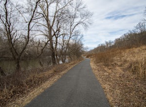
Hike Cool Spring Path
4.02 mi / 70 ft gainThe Cool Spring Path South is an old golf course that has been and still is in the process of being returned to its natural state by Shenandoah University. The paved paths from the golf course make this an easy hike for anyone. For those who may be in a wheelchair, this loop should be fully acces...Read more -
Parkton, Maryland
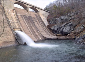
Photograph Prettyboy Dam
4.0Make sure you park in the designated spots located above the Dam. Walk across the Dam road bridge and about mid way stop and take a look over the edge. You will be greeted with the a beautiful view of the valley. To explore more keep walking over the dam bridge and walk down the stairs to view ...Read more -
Kingsville, Maryland
Hike the Jerusalem Village Trail & Jericho Covered Bridge Trail
4.3 mi / 341 ft gainThis is a moderately rated hike that features a river and quite a few hilly sections. The trail is known to be rather muddy, so be sure to wear appropriate waterproof footwear. Note that some sections of the trail are not well marked. You may want to review a map before embarking. There is park...Read more -
Bluemont, Virginia
Hike to Hollow Brook Falls
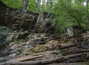
4.32 mi / 300 ft gainThis hike will start on the Appalachian Trail and will take you to a beautiful set of falls. When you arrive at the location you will see numerous spots along the side of the road to park. You'll need to look for the white blaze for the Appalachian Trail (it will head up from the parking area). ...Read more -
Myersville, Maryland
Hike to Annapolis Rock and Black Rock Cliff
4.48 mi / 840 ft gainHike along the Appalachian Trail as it passes through South Mountain State Park, taking you to a number of very scenic lookout spots.From the parking area, take the connector trail a short distance until you see blue blazes on the left – these will lead you to the Appalachian Trail (white blazes)...Read more -
Smithsburg, Maryland
Hike to Cunningham Falls
4.22.8 miThis 78-foot waterfall, among the largest in the state, is easily accessible by two short trails. Lower Trail (0.5 miles) leads directly to the falls, whereas Cliff Trail (0.75 miles) has slightly more difficult terrain and takes you to a viewing platform. To lengthen the adventure, Hunting Creek...Read more -
Thurmont, Maryland
Hike Catoctin Mountain
4.58.4 mi / 1370 ft gainPark at Catoctin Mountain Visitor Center. The hike starts at the end of the gravel parking lot across from the visitor center. This is definitely a popular hiking location, so come early on the weekends to guarantee a parking spot and to avoid the crowds. To start, take the right trail towards th...Read more -
Thurmont, Maryland
Hike Chimney Rock at Catoctin Mountain Park
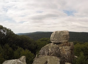
4.25 mi / 600 ft gainChimney Rock is the quintessential breathtaking view that makes a hike worthwhile. By parking at the most northeast parking lot on the trail map you are able to include the sweeping views of Thurmont Vista, and Wolf Rock on your way to Chimney Rock. Highly recommend visiting in the fall, and on w...Read more

