Savage, Maryland
Looking for the best photography in Savage? We've got you covered with the top trails, trips, hiking, backpacking, camping and more around Savage. The detailed guides, photos, and reviews are all submitted by the Outbound community.
Top Photography Spots in and near Savage
-
Kingsville, Maryland
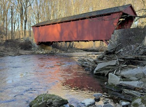
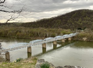
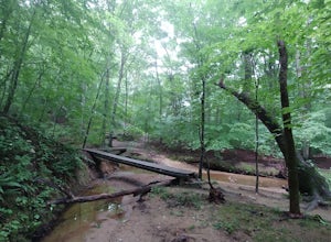
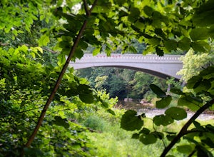
Hike the Jerusalem Village Trail & Jericho Covered Bridge Trail
4.3 mi / 341 ft gainThis is a moderately rated hike that features a river and quite a few hilly sections. The trail is known to be rather muddy, so be sure to wear appropriate waterproof footwear. Note that some sections of the trail are not well marked. You may want to review a map before embarking. There is park...Read more -
Wildlife Trail Parking Area, Maryland
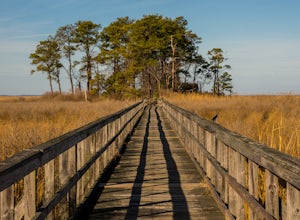
Explore Eastern Neck National Wildlife Refuge
1 miAlthough the trails at Eastern Neck may be small in size (the longest is just over a mile) they're big on sights. It's practically impossible to visit the refuge and not see wildlife, particularly the dizzying number of avian species here. Visit during the winter to see the majestic Tundra Swan, ...Read more -
Parkton, Maryland
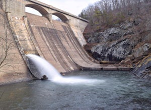
Photograph Prettyboy Dam
4.0Make sure you park in the designated spots located above the Dam. Walk across the Dam road bridge and about mid way stop and take a look over the edge. You will be greeted with the a beautiful view of the valley. To explore more keep walking over the dam bridge and walk down the stairs to view ...Read more -
Huntingtown, Maryland
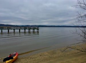
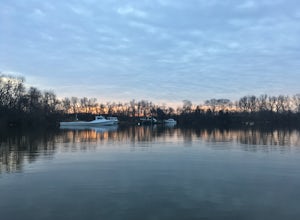
Paddle the Patuxent River through Maryland
While there are many parks along its length, one of the best places to explore along the 115 mile long Patuxent River is by putting in at Kings Landing Park. There is ample parking near the launch, and while vehicles are not allowed to park near the water, vehicles are encouraged to open the gat...Read more -
Fairfax Station, Virginia
Explore Burke Lake in Fairfax
4.54.7 mi / 0 ft gainBurke Lake Park has something for everyone. Whether you enjoy trail running, hiking, fishing, canoeing, Frisbee golf, or just having a picnic with your family, you can do it all at Burke Lake. Those who want to be active or exercise can run, hike or biket the 4.7 mile trail that circles the entir...Read more -
Leesburg, Virginia
Hike the Red Rock Wilderness Overlook Loop
5.01.2 mi / 100 ft gainRed Rock Wilderness Overlook provides 60+ acres of trails to explore right in Leesburg, Virginia. The site is home to some ruins and buildings from the late 1800's and is a wonderful spot for picnics, hiking, trail running, and geocaching.The preferable loop is to take the trail that leads straig...Read more -
Freeland, Maryland
Hike Hemlock Gorge
5.03.5 mi / 300 ft gainThis is one of Baltimore's little known gems. The area contains an ecosystem which is essentially non-existent outside of the Appalachian mountain regions. It has also been seemingly under-appreciated and abused by locals. I am trusting that the Outbound Collective community will do its part to e...Read more -
Lorton, Virginia
Woodmarsh Trail
4.02.83 mi / 154 ft gainJust at the entrance to Mason Neck State Park is the Woodmarsh Trail. The entire loop is about 3 miles. This is a pleasant easy hike that is relatively flat with no rocks to speak of. The trail wanders through a forest and passes by a large swamp along the Potomac River. There is one well built o...Read more -
Knoxville, Maryland
Explore Point of Rocks/ Potomac River Overlook
4.00.2 mi / 95 ft gainPark at the Chesapeake and Ohio Canal parking lot. Walk to the US 15 and cross the road. Trail is not marked, though its faint traces can be detected as you continue on. GPS is recommended. Enjoy the overlook and when you're ready to go back, retrace your steps.Read more -
Clifton, Virginia
Hike the Bull Run Occoquan Trail
13 miThe Bull Run Occoquan Trail is located in Fairfax County, Virginia and is 50 miles outside Washington, DC and runs along the Bull Run waterway for 6.5 miles from Bull Run Marina to Fountainhead Regional Park. The blue blazed trail undulates for a total ascent of 1,510 ft and descent of 1,526 ft, ...Read more -
Wye Mills, Maryland
Kayak around Wye Island NRMA
With over 2,400 acres of managed land, Wye Island Natural Resource Management Area is the perfect spot to explore via the water. There is a public boat launch in Wye Landing near the island, put in your boat there and head south a little to connect with the island's coast. To fully circle the i...Read more -
Waterford, Virginia
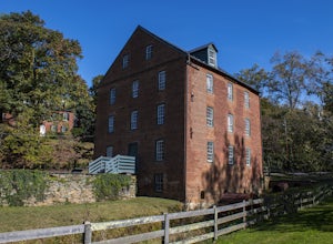
Hike the Historical Phillips Farm in Waterford
4.01 mi / 10 ft gainThis leisurely hike starts at the Old Mill at Waterford in Waterford, Virginia. You can find parking along the side of the road right near the mill. As you walk down and past the mill you'll see a fence and the beginning of the trail. This is a short, 1 mile hike and almost completely flat. If y...Read more -
Manassas, Virginia
Hike and Explore Bull Run Battlefield
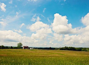
4.31.2 miLocated about 40 minutes from D.C. just off I-66 in Manassas, VA. Henry Hill is the starting point and headquarters that can lead you to multiple trails ranging from 1-5 miles depending on the route you choose here. Ample parking at HQ as well as clean restrooms. Tours are available here. Rolling...Read more -
Pylesville, Maryland
Hike to Kilgore Falls
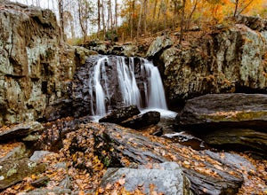
3.81.2 miThis 1.2 mile roundtrip hike leads to the second tallest waterfall in the state of Maryland. It is a short hike that's great for families and bringing the dog. In the warmer months, you can swim in the pool at the base of the waterfall. People have cliff jumped here, but exercise caution and do s...Read more -
Bel Air, Maryland
Hike the Deer Creek Trail
5.02 miBecause Palmer State Park is still under development (with no timeline given for its completion), there are only a few trails that meander through this 555-acre reserve. Palmer's official website offers a not-so-helpful topographical map, but the easiest way into the park that I could find was ne...Read more -
Aldie, Virginia
Relax at Aldie Park
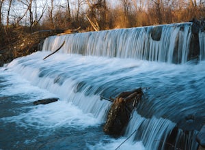
Small park with nice walking trails, picnic tables, and a waterfall that cascades down from a dam. Its a wonderful place to take the family or just go for a breath of fresh air. Its also right near the downtown area of Aldie, which has a bakery, juice/smoothie shop, and other great shops to stop ...Read more

