Poolesville, Maryland
Looking for the best photography in Poolesville? We've got you covered with the top trails, trips, hiking, backpacking, camping and more around Poolesville. The detailed guides, photos, and reviews are all submitted by the Outbound community.
Top Photography Spots in and near Poolesville
-
Bluemont, Virginia
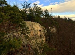
Hike to Bears Den Overlook
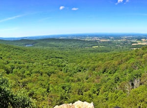
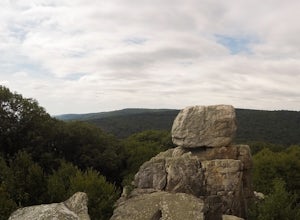
4.41.31 mi / 164 ft gainBears Den is a collection of rocks and boulders that overlooks the Shenandoah Valley in northern Virginia, just off the Appalachian Trail. You have two options to access this overlook: park at the bottom of the mountain and hike up to the overlook via the trail, or drive to the top and access the...Read more -
Washington, District of Columbia
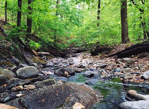
Hike the Soapstone Valley Trail
4.02 miThis is an out-and-back trail that starts and ends on different roads, but you will have better luck parking on Albemarle Street NW (where I have indicated the trailhead is on the map). This is a long street with plenty of street parking, just pay attention to the signs to see how long you can le...Read more -
Bluemont, Virginia
Hike to Raven Rock
4.35 mi / 1000 ft gainStarting at a small parking lot right off of Route 7 (wuick right onto Pine Grove Road) this hike takes you North on the Appalachian Trail in a very hilly/rocky part of the trail. Expect to gain and lose 300 feet+ multiple times! It's about 2.5 miles each way so budget at least a few hours to go ...Read more -
Manassas, Virginia
Hike and Explore Bull Run Battlefield
4.31.2 miLocated about 40 minutes from D.C. just off I-66 in Manassas, VA. Henry Hill is the starting point and headquarters that can lead you to multiple trails ranging from 1-5 miles depending on the route you choose here. Ample parking at HQ as well as clean restrooms. Tours are available here. Rolling...Read more -
Cool Spring Path South Parking, Virginia
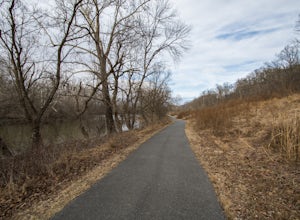
Hike Cool Spring Path
4.02 mi / 70 ft gainThe Cool Spring Path South is an old golf course that has been and still is in the process of being returned to its natural state by Shenandoah University. The paved paths from the golf course make this an easy hike for anyone. For those who may be in a wheelchair, this loop should be fully acces...Read more -
Washington, District of Columbia
Visit the National Mall in Washington D.C.
4.67 miEveryone has so many things on their plates these days that take all their time up. It is hard to get away for adventures or to experience new things. The National Mall in Washington D.C. is within an hour from millions of people on the East Coast. This centralized location makes the National Mal...Read more -
Washington, District of Columbia
Photograph Sunrise at the Lincoln Memorial
4.8Located on the far-west portion of the National Mall in Washington, D.C. stands the Lincoln Memorial. At almost 100 feet tall, this majestic structure overlooks the reflecting pool and offers an iconic view of the Washington Monument. Parking is almost always an issue near the Lincoln Memorial, ...Read more -
Bluemont, Virginia
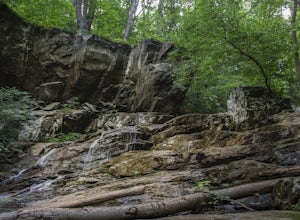
Hike to Hollow Brook Falls
4.32 mi / 300 ft gainThis hike will start on the Appalachian Trail and will take you to a beautiful set of falls. When you arrive at the location you will see numerous spots along the side of the road to park. You'll need to look for the white blaze for the Appalachian Trail (it will head up from the parking area). ...Read more -
Fairfax Station, Virginia
Explore Burke Lake in Fairfax
4.54.7 mi / 0 ft gainBurke Lake Park has something for everyone. Whether you enjoy trail running, hiking, fishing, canoeing, Frisbee golf, or just having a picnic with your family, you can do it all at Burke Lake. Those who want to be active or exercise can run, hike or biket the 4.7 mile trail that circles the entir...Read more -
Clifton, Virginia
Hike the Bull Run Occoquan Trail
13 miThe Bull Run Occoquan Trail is located in Fairfax County, Virginia and is 50 miles outside Washington, DC and runs along the Bull Run waterway for 6.5 miles from Bull Run Marina to Fountainhead Regional Park. The blue blazed trail undulates for a total ascent of 1,510 ft and descent of 1,526 ft, ...Read more -
Myersville, Maryland
Hike to Annapolis Rock and Black Rock Cliff
4.48 mi / 840 ft gainHike along the Appalachian Trail as it passes through South Mountain State Park, taking you to a number of very scenic lookout spots.From the parking area, take the connector trail a short distance until you see blue blazes on the left – these will lead you to the Appalachian Trail (white blazes)...Read more -
Washington, District of Columbia
Visit Kenilworth Aquatic Gardens
4.51.5 miThe Kenilworth Aquatic Gardens are a unique spot in Washington, D.C. The grounds are full of ponds, boardwalks, and a trail that connects you to the Anacostia River Trail. The main draw of this park are the ponds full of lotus flowers. During the summer months, they grow tall with colors ranging ...Read more -
Marshall, Virginia
Hike to the Piedmont Overlook
5.00.61 mi / 400 ft gainIn just a .61 mile trail, Piedmont Overlook has so much to offer in terms of views and although it is fairly steep, anyone can do it! After arriving at Sky Meadows State Park start heading up to the white park office building, this is where the trail begins. To get to the trail head follow Bosto...Read more -
Delaplane, Virginia
Relax at Lake Thompson
Lake Thompson is a great spot for fishing, walking, or just exploring the area with your dog. I've never had a problem with parking, but you're unlikely to find yourself alone at the lake on a nice weekend day. Its a 10-acre lake, however, so you shouldn't have a problem carving out a little bit...Read more -
Smithsburg, Maryland
Hike to Cunningham Falls
4.22.8 miThis 78-foot waterfall, among the largest in the state, is easily accessible by two short trails. Lower Trail (0.5 miles) leads directly to the falls, whereas Cliff Trail (0.75 miles) has slightly more difficult terrain and takes you to a viewing platform. To lengthen the adventure, Hunting Creek...Read more -
Thurmont, Maryland
Hike Catoctin Mountain
4.58.4 mi / 1370 ft gainPark at Catoctin Mountain Visitor Center. The hike starts at the end of the gravel parking lot across from the visitor center. This is definitely a popular hiking location, so come early on the weekends to guarantee a parking spot and to avoid the crowds. To start, take the right trail towards th...Read more

