Marriottsville, Maryland
Looking for the best photography in Marriottsville? We've got you covered with the top trails, trips, hiking, backpacking, camping and more around Marriottsville. The detailed guides, photos, and reviews are all submitted by the Outbound community.
Top Photography Spots in and near Marriottsville
-
Washington, District of Columbia
Photograph Sunrise at the Lincoln Memorial
4.8Located on the far-west portion of the National Mall in Washington, D.C. stands the Lincoln Memorial. At almost 100 feet tall, this majestic structure overlooks the reflecting pool and offers an iconic view of the Washington Monument. Parking is almost always an issue near the Lincoln Memorial, ...Read more -
Annapolis, Maryland
Kayak into downtown Annapolis via Spa Creek
There is no better way to travel into Annapolis then by under your own power on water. Put in your kayak, canoe, or stand up paddle board at the Truxton Park Boat Launch (run by the City Parks Department) and paddle into downtown Annapolis on Spa Creek. Pass other boaters, beautiful waterfront ...Read more -
Knoxville, Maryland
Explore Point of Rocks/ Potomac River Overlook
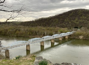
4.00.2 mi / 95 ft gainPark at the Chesapeake and Ohio Canal parking lot. Walk to the US 15 and cross the road. Trail is not marked, though its faint traces can be detected as you continue on. GPS is recommended. Enjoy the overlook and when you're ready to go back, retrace your steps.Read more -
Annapolis, Maryland
Photograph the Frozen Bay at Sandy Point
The winter is the perfect time to explore this park as it does not draw in many visitors like it does in the summer months. You can walk along the sandy shores to photograph both the Chesapeake Bay Bridge as well as the bay itself. This is a very easy walk and could take you under 10 minutes and ...Read more -
Leesburg, Virginia
Hike the Red Rock Wilderness Overlook Loop
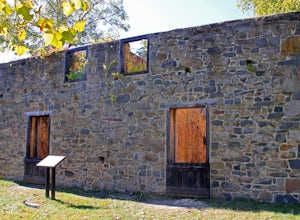
5.01.2 mi / 100 ft gainRed Rock Wilderness Overlook provides 60+ acres of trails to explore right in Leesburg, Virginia. The site is home to some ruins and buildings from the late 1800's and is a wonderful spot for picnics, hiking, trail running, and geocaching.The preferable loop is to take the trail that leads straig...Read more -
Thurmont, Maryland
Hike Catoctin Mountain
4.58.4 mi / 1370 ft gainPark at Catoctin Mountain Visitor Center. The hike starts at the end of the gravel parking lot across from the visitor center. This is definitely a popular hiking location, so come early on the weekends to guarantee a parking spot and to avoid the crowds. To start, take the right trail towards th...Read more -
Thurmont, Maryland
Hike Chimney Rock at Catoctin Mountain Park
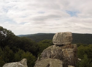
4.25 mi / 600 ft gainChimney Rock is the quintessential breathtaking view that makes a hike worthwhile. By parking at the most northeast parking lot on the trail map you are able to include the sweeping views of Thurmont Vista, and Wolf Rock on your way to Chimney Rock. Highly recommend visiting in the fall, and on w...Read more -
Smithsburg, Maryland
Hike to Cunningham Falls
4.22.8 miThis 78-foot waterfall, among the largest in the state, is easily accessible by two short trails. Lower Trail (0.5 miles) leads directly to the falls, whereas Cliff Trail (0.75 miles) has slightly more difficult terrain and takes you to a viewing platform. To lengthen the adventure, Hunting Creek...Read more -
Pylesville, Maryland
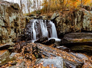
Hike to Kilgore Falls
3.81.2 miThis 1.2 mile roundtrip hike leads to the second tallest waterfall in the state of Maryland. It is a short hike that's great for families and bringing the dog. In the warmer months, you can swim in the pool at the base of the waterfall. People have cliff jumped here, but exercise caution and do s...Read more -
Waterford, Virginia
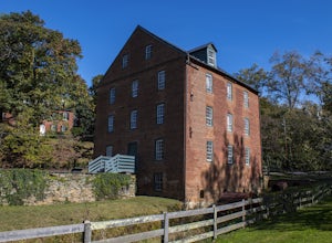
Hike the Historical Phillips Farm in Waterford
4.01 mi / 10 ft gainThis leisurely hike starts at the Old Mill at Waterford in Waterford, Virginia. You can find parking along the side of the road right near the mill. As you walk down and past the mill you'll see a fence and the beginning of the trail. This is a short, 1 mile hike and almost completely flat. If y...Read more -
Bel Air, Maryland
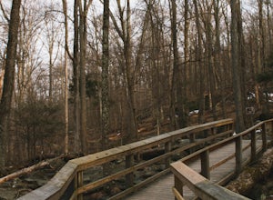
Hike the Deer Creek Trail
5.02 miBecause Palmer State Park is still under development (with no timeline given for its completion), there are only a few trails that meander through this 555-acre reserve. Palmer's official website offers a not-so-helpful topographical map, but the easiest way into the park that I could find was ne...Read more -
Myersville, Maryland
Hike to Annapolis Rock and Black Rock Cliff
4.48 mi / 840 ft gainHike along the Appalachian Trail as it passes through South Mountain State Park, taking you to a number of very scenic lookout spots.From the parking area, take the connector trail a short distance until you see blue blazes on the left – these will lead you to the Appalachian Trail (white blazes)...Read more -
Knoxville, Maryland
Hike the AT to Weverton Cliffs
4.93 mi / 1500 ft gainThe trailhead is located right off Weverton Cliff's Road in Knoxville, Maryland. Park at a Park and Ride on the right side of the road, then walk right out of the parking lot down Weverton Cliff's Road until you see the white blazes of the Appalachian Trail. Follow that trail for 1.5 miles along ...Read more -
Wildlife Trail Parking Area, Maryland
Explore Eastern Neck National Wildlife Refuge
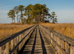
1 miAlthough the trails at Eastern Neck may be small in size (the longest is just over a mile) they're big on sights. It's practically impossible to visit the refuge and not see wildlife, particularly the dizzying number of avian species here. Visit during the winter to see the majestic Tundra Swan, ...Read more -
Purcellville, Virginia
Explore Potomac Wayside Park
4.00.25 mi / 75 ft gainThis is a small park along route 340 in Purcellville, Virginia near Harper's Ferry. After you have parked, look for the park sign which will be a few feet behind you. There is a trail that will take you down to the bottom of the waterfall and eventually to the Potomac River. There is also a trail...Read more -
Knoxville, Maryland
Hike to Maryland Heights
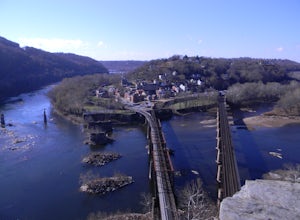
4.82.8 mi / 900 ft gainMaryland Heights is at the convergence of Maryland, West Virginia and Virginia, as well as the Potomac and Shenandoah Rivers. The Appalachian Trail and C&O Canal Towpath are also easily accessible from the trailhead parking lot. The parking lot holds about 16 cars and is between Locks 33 and ...Read more


