Keymar, Maryland
Top Spots in and near Keymar
-
Harpers Ferry, West Virginia
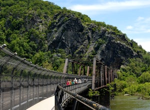
Hike Maryland Heights via Harpers Ferry
4.54.2 mi / 800 ft gainParking and trail head: Park at the Harpers Ferry Visitors Center for $10 (171 Shoreline Dr, Bolivar, WV 25425) and take the shuttle a mile and a half to lower town (free). Walk straight from the shuttle to the large bridge. Cross the bridge and take a left on the C&O Canal trail. You will s...Read more -
Dickerson, Maryland
Hike along the C&O Canal: Whites Ferry to Edwards Ferry
5.010 mi / 165 ft gainPark in the lot on Whites Ferry road and hop on the Chesapeake Ohio towpath. This is an out-and-back so you can make it as short as you want or up to 10 miles. Great for familes and dog friendly!Read more -
Derwood, Maryland
Hike, Bike, or Run the Lakeside Trail and Muncaster Mill Trail
4.53.41 mi / 196 ft gainPark at the Meadowside Nature Center to Access the trailhead. This is a 3.4 mile loop with opportunities for birding and observing wildlife. Dogs are welcome on leash.Read more -
Waterford, Virginia
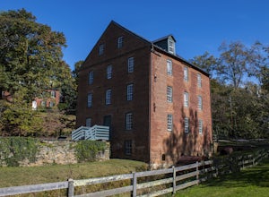
Hike the Historical Phillips Farm in Waterford
4.01 mi / 10 ft gainThis leisurely hike starts at the Old Mill at Waterford in Waterford, Virginia. You can find parking along the side of the road right near the mill. As you walk down and past the mill you'll see a fence and the beginning of the trail. This is a short, 1 mile hike and almost completely flat. If y...Read more -
Elkridge, Maryland
Cascade Falls Loop
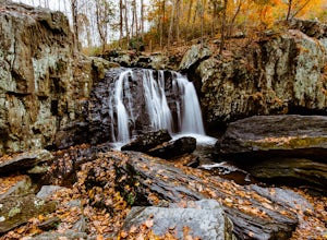
3.02.31 mi / 381 ft gainThis hike is a great place to escape the city feel of Baltimore and disappear into the wilderness. Enter through the Avalon Area entrance. There is a cash fee to enter the park. Once you pass the front gate continue past the initial picnic area. Continue through the park to the Orange Grove Area...Read more -
Elkridge, Maryland
Hike the Cascade Falls and Rootball Loop Trail
4.72.4 mi / 285 ft gainPark on the shoulder of Landing Drive (see map) to access the trailhead. This trail is open April-September. Dogs allowed on leash.Read more -
Leesburg, Virginia
Hike the Red Rock Wilderness Overlook Loop
5.01.2 mi / 100 ft gainRed Rock Wilderness Overlook provides 60+ acres of trails to explore right in Leesburg, Virginia. The site is home to some ruins and buildings from the late 1800's and is a wonderful spot for picnics, hiking, trail running, and geocaching.The preferable loop is to take the trail that leads straig...Read more -
Lewisberry, Pennsylvania
Hike Quaker Race's Lakeside Trail
4.03 miThis trail is best accessed from the Quaker Race Day Use Area or from the Cabin Colony for cabin occupants. This trail has a dirt or rocky surface, uneven terrain and one steep but short hill. This trail connects to Lakeside Trail at its end to form a 3-mile loop that passes through diverse habit...Read more -
Great Falls, Virginia
Hike from Riverbend Regional Park to Great Falls National Park
5.02.5 mi / 75 ft gainThis hike utilizes the Potomac Heritage Trail from Riverbend Park to Great Falls National Park. This section is an easy, mostly flat trail that will take you along the Potomac until you reach Great Falls National Park. When you reach Riverbend Park turn right into the parking lot. At the end of t...Read more -
Great Falls, Virginia
Canoe from Algonkian Regional Park to Riverbend Park
4.0Starting at Algonkian Regional Park and ending at Riverbend Park, this 8.5 mile canoe trip is a perfect way to get away from the traffic that is Northern Virginia. Paddling hard, people have completed it in 4 hours. It can easily be turned into an all day trip lasting 8 or more hours, if paddli...Read more -
Potomac, Maryland
Great Falls and the Billy Goat Trail
4.54.61 mi / 272 ft gainJust outside of Washington DC is a great hike and rock scramble you don't want to miss. Great Falls lies in both Virginia and Maryland and has beautiful views of the Potomac River. Start out at the Great Falls Tavern parking lot (Maryland side), and keep in mind it is $10 to park here if you don...Read more -
McLean, Virginia
Photograph Great Falls of the Potomac
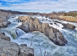
5.00.69 mi / 131 ft gainViewing Great Falls is easy which makes this adventure great for all levels of adventurers. There is a ~$10 entrance fee, there you will receive a map of the park. There are 3 platforms of viewing Great Falls, each platform has stunning panoramic views. Make sure you do not forget to bring your ...Read more -
Sterling, Virginia
Washington & Old Dominion Trail and Broadlands Ramble
5.019.55 mi / 863 ft gainWashington & Old Dominion Trail and Broadlands Ramble is a point-to-point trail where you may see local wildlife located near Ashburn, Virginia.Read more -
Baltimore, Maryland
Hike the Fort McHenry Trail
3.50.9 mi / 16 ft gainPark in the lot and head out either direction on this short loop trail. Trail can get crowded, so be prepared to share the space.Read more -
McLean, Virginia
Difficult Run, Ridge, and River Trails
4.53.28 mi / 463 ft gainDifficult Run is a popular hiking location right down the street from Great Falls National Park. Starting at the Difficult Run parking lot you head to the trail at the far end of the lot. The trail will split. The green blazes will take you to the left but you can also stay to the right and hike ...Read more -
Pylesville, Maryland
Hike to Kilgore Falls
3.81.2 miThis 1.2 mile roundtrip hike leads to the second tallest waterfall in the state of Maryland. It is a short hike that's great for families and bringing the dog. In the warmer months, you can swim in the pool at the base of the waterfall. People have cliff jumped here, but exercise caution and do s...Read more

