Columbia, Maryland
Top Spots in and near Columbia
-
Manassas, Virginia
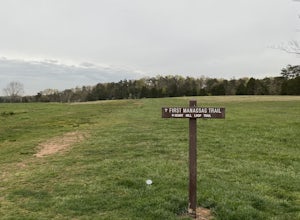
Hike and Explore Bull Run Battlefield
4.31.2 miLocated about 40 minutes from D.C. just off I-66 in Manassas, VA. Henry Hill is the starting point and headquarters that can lead you to multiple trails ranging from 1-5 miles depending on the route you choose here. Ample parking at HQ as well as clean restrooms. Tours are available here. Rolling...Read more -
Manassas, Virginia
Trail Run at Bull Run
5.04 miGreat spot for a run! Very accessible for those in the DC region. A good starting point is the Henry Hill Visitor Center. If you want to avoid any crowds, start early. From the Henry Hill Visitor Center, you can't really go wrong (as far as direction is concerned) since most trails can be linke...Read more -
North East, Maryland
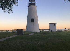
Hike to the Turkey Point Lighthouse in Elk Neck SP
3.01.6 mi / 60 ft gainThis hike begins from the parking lot trailhead that is well-marked. Be cautious - parking is limited and may be full on weekends, and the paved road suddenly ends at the parking lot entrance. The path is crushed stone, wide, and relatively flat. Dogs are welcome but must be on leashes. On th...Read more -
Aldie, Virginia
Relax at Aldie Park
Small park with nice walking trails, picnic tables, and a waterfall that cascades down from a dam. Its a wonderful place to take the family or just go for a breath of fresh air. Its also right near the downtown area of Aldie, which has a bakery, juice/smoothie shop, and other great shops to stop ...Read more -
7, Smithsburg, Maryland
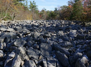
Hike to Devil's Racecourse on the Appalachian Trail
4.53 mi / 1500 ft gainStart your hike where the AT crosses Raven Rock Road (Maryland Route 491). This crossing is well-marked from both sides by large, yellow signs and blazed stakes. You will need to park on the side of the road, but the shoulder is wide and can accommodate a crowd. The first half mile or so of this...Read more -
Airville, Pennsylvania
Hike the Mason-Dixon Trail to Peavine Island
2 miThe Mason-Dixon Trail is a 200-mile trail that begins and ends in Pennsylvania, passing through Maryland and Delaware along the way. The trail connects the AT to the Brandywine Trail and spends considerable time adjacent to the wide and wondrous Susquehanna River. One of the Mason-Dixon trail's m...Read more -
Airville, Pennsylvania
Explore Mill Creek Falls
It's not too hard to find the Mill Creek Falls; you can see it from the parking lot. This is an ideal spot if you just need a quick fix of something beautiful. From the road, follow the blue blazes of the Mason-Dixon Trail up the hill. After you admire and photograph the falls, consider hiking t...Read more -
Knoxville, Maryland
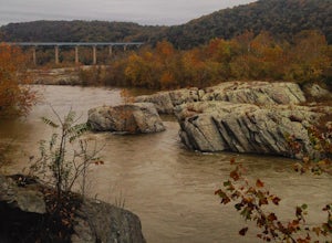
Hike to Maryland Heights
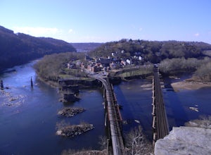
4.82.8 mi / 900 ft gainMaryland Heights is at the convergence of Maryland, West Virginia and Virginia, as well as the Potomac and Shenandoah Rivers. The Appalachian Trail and C&O Canal Towpath are also easily accessible from the trailhead parking lot. The parking lot holds about 16 cars and is between Locks 33 and ...Read more -
Knoxville, Maryland
Hike Maryland Heights Trail Loop
5.3 mi / 1600 ft gainLearn Civil War history as you hike through forts and read signs about the war. Enjoy beautiful lookouts, including one with a great view of Harpers Ferry. The 5.3 mile hike is relatively easy and offers an interesting opportunity to learn history in one of the most important historical areas i...Read more -
Sabillasville, Maryland
Hike to High Rock on the Appalachian Trail
4.06 mi / 2000 ft gainStart your hike where the AT crosses Raven Rock Road (Maryland Route 491). This crossing is well-marked from both sides by large, yellow signs and blazed stakes. You will need to park on the side of the road, but the shoulder is wide and can accommodate a crowd. The first half mile or so of this...Read more -
North East, Maryland
Hike the White Banks Trail at Elk Neck SP
5.06 miMost people visit Elk Neck to photograph the lighthouse, or access to the Bay (the throttle of speed boats is never far), but don't miss out on the trails. The three mile out-and-back White Banks Trail offers crazy-beautiful views of the Chesapeake as well as a moderately difficult workout. Park ...Read more -
Harpers Ferry, West Virginia
Hike Weverton Cliffs Overlook from Harpers Ferry
5.08.2 mi / 925 ft gainParking and trail head: Park at the Harpers Ferry Visitors Center for $10 (171 Shoreline Dr, Bolivar, WV 25425) and take the shuttle a mile and a half to lower town (free). Walk straight from the shuttle to the large bridge. Cross the bridge to hop on the C&O canal trail. This is the point w...Read more -
Harpers Ferry, West Virginia
Hike Maryland Heights via Harpers Ferry
4.54.2 mi / 800 ft gainParking and trail head: Park at the Harpers Ferry Visitors Center for $10 (171 Shoreline Dr, Bolivar, WV 25425) and take the shuttle a mile and a half to lower town (free). Walk straight from the shuttle to the large bridge. Cross the bridge and take a left on the C&O Canal trail. You will s...Read more -
Sharpsburg, Maryland
Antietam National Battlefield Trail
3 mi / 358 ft gainAntietam National Battlefield Trail is a loop trail that takes you by a river located near Sharpsburg, Maryland.Read more


