Otisfield, Maine
Looking for the best hiking in Otisfield? We've got you covered with the top trails, trips, hiking, backpacking, camping and more around Otisfield. The detailed guides, photos, and reviews are all submitted by the Outbound community.
Top Hiking Spots in and near Otisfield
-
Waterford, Maine
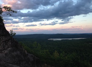
Hike Hawk Mountain
5.02.2 mi / 500 ft gain1.4 mile Out-and-Back trail hike is family friendly and provides spectacular views, especially at sunset. Trail closes right after dusk though, so be careful to not wander too long. Turn onto Hawk Mountain Road, and drive until you see the parking lot on the left and trail head on the right, abou...Read more -
Denmark, Maine
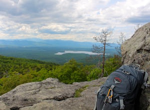
Summit Bald Peak and Mt. Pleasant
6 mi / 1450 ft gainAfter turning on Mountain Rd, look for East Pinnacle Condominiums. The trailhead is about 0.1miles after that on the right between the telephone poles marked 49 and 50. There is a dirt parking lot to pull into. Now on to the hike! This hike begins by heading straight uphill immediately, and you ...Read more -
Pownal, Maine
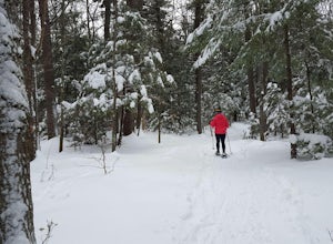
Snowshoe the Northern Loop Trail at Bradbury Mountain
2 mi / 407 ft gainBradbury mountain has ample parking and multiple trails that lead around the mountain and up to the summit. We took the Northern Loop, which is the longest trail up the small mountain. It is a gradual incline of 407 ft over 1.0 mile. It is a perfect out and back trail just to get outside for a b...Read more -
Stow, Maine
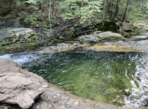
Hike to Rattlesnake Pool
2.11 mi / 207 ft gainThe best place to start your hike is from Route 113 near Gilead, head towards Stone House Road. This becomes Shell Pond Road. A few miles in, you'll find a gated area where you can park. This trail, and Rattlesnake Pool, are both on private land - so be sure to practice leave no trace principles.Read more -
North Conway, New Hampshire
Hike White Horse Trail
4.75 mi / 1043 ft gainConsider this moderate hike a warm-up to some of the bigger boys in the area! We've hiked Cathedral Ledge from Echo Lake State Park in the past, but wanted something a little longer in distance & slighting more challenging. When I asked the guy manning the State Park booth for a map he said, ...Read more -
Conway, New Hampshire
Drive the Kancamagus Highway
4.834.5 miThe Kancamagus Highway is designated an American Scenic Byway. It cuts through the White Mountains of New Hampshire. The highest point along the drive is 3000 feet. It is known as one of the best fall viewing areas in the country. If your interested there is also several campgrounds along thi...Read more -
Conway, New Hampshire
Diana's Baths
5.01.33 mi / 190 ft gainDiana's Baths is an out-and-back trail that takes you by a waterfall located near North Conway, New Hampshire.Read more -
Conway, New Hampshire
Cathedral Ledge via Bryce Path Trail
2.07 mi / 574 ft gainCathedral Ledge via Bryce Path Trail is an out-and-back trail that takes you by a waterfall located near Bartlett, New Hampshire.Read more -
Bartlett, New Hampshire
Hike Cathedral Ledge
4.03.4 mi / 722 ft gainDuring spring, summer and fall there is a road that allows you to drive to the top of Cathedral Ledge. In winter the road is closed off to vehicles so reaching the top requires a 1.7 mile hike. Once at the top, there is a fenced in lookout with a 180 degree view of North Conway and the surroundin...Read more -
Portland, Maine
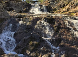
Hike to Jewell Falls
4.02 mi / 300 ft gainFore River Sanctuary is 85 acres in the heart of Portland right off of Congress Street. It is a unique place where the river meets the ocean and creates a marshland landscape, which provides a plethora of opportunities to see wildlife (especially a great diversity of birds - waterfowl, herons, eg...Read more -
Rumford, Maine
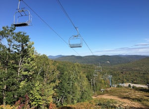
Hike Black Mountain Resort
3.1 mi / 1312.3 ft gainStart at parking-place, make it to the top and chose a route to hike back down. Beautiful views lay in front of you, for you to enjoy. This is a half day hike, full of nice places on the way to have lunch at, or just to enjoy and walk by. Enjoy the Hike ;)Read more -
South Portland, Maine
Spring Point Lighthouse
4.71 mi / 39 ft gainBeing a less popular lighthouse out of the many in the greater Portland area, parking is easy and crowds are limited. Parking at Fort Prebble is ideal for a short walk to the lighthouse. Completed in 1897, off the shoreline of Fort Prebble, Spring Point is a unique lighthouse with huge importanc...Read more -
Portland, Maine
Hike Peaks Island
2 miPeaks Island is the closest of the Casco Bay Islands to Portland, ME. It is a residential island that fills up with tourists in the summertime. If you visit the Peaks mid-spring, you can count on fairly decent weather and fewer crowds. There is a hotel and three or four restaurants on the island,...Read more -
Gorham, New Hampshire
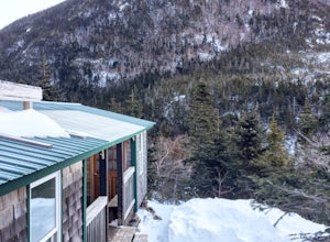
Snowshoe to Carter Notch Hut
7.8 mi / 2200 ft gainThe nineteen mile brook trail is a winding path up approximately 2200 feet of elevation over the course of 3.9 miles. That distance feels a lot farther when you are breaking trail in 18-24 inches of snow and you are carrying 35 lb packs on your backs. Luckily we started out early and we able to ...Read more -
Cape Elizabeth, Maine
Portland Head Light
5.0Portland Head Light is one of Maine's most iconic and picturesque lighthouses that offers stunning views year round. Located just about 15 minutes outside of Portland, Maine, it's the perfect place to go to watch an early winter sunset and enjoy some ocean views. To get to the light house, you wi...Read more -
Gorham, New Hampshire
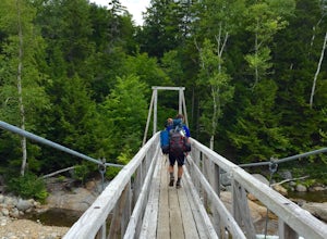
Backpack to Osgood Tentsite and Hike Mount Madison
5.09.3 mi / 4521 ft gainBegin at Great Gulf Trailhead (located on the west side of NH Route 16, about 1.5 mi. south of the junction with Dolly Copp Rd.) which offers a large fee for parking lot. Bring cash and pay at the self service pay station then display your receipt in car. Walk towards the back of the parking lot ...Read more

