Newry, Maine
Looking for the best chillin in Newry? We've got you covered with the top trails, trips, hiking, backpacking, camping and more around Newry. The detailed guides, photos, and reviews are all submitted by the Outbound community.
Top Chillin Spots in and near Newry
-
Newry, Maine
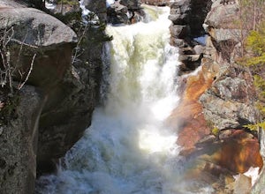
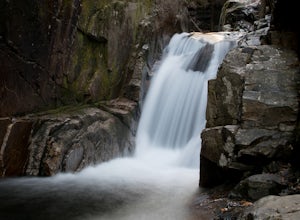
Photograph Screw Auger Falls
4.00.2 mi / 6 ft gainAfter parking in the allotted parking area at screw auger, make your way down to the falls to explore! There are several "smaller waterfalls" that the river flows over before making its way to the 27 foot main attraction. Going in April, the falls were at their most powerful. It made taking pictu...Read more -
Maine 26, Maine
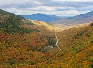
Hike Eyebrow Trail to Old Speck Mountain Loop
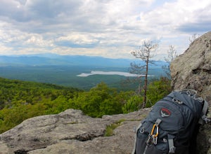
7.8 mi / 3000 ft gainThe first time I attempted this trail was in mid April, and the slush and mud I encountered was absolutely unbelievable. Snowshoes were useless. Crampons were useless. Boots alone meant dirty, wet, muddy feet. So, I had to bail. But I came back in October and I’m so glad I did because the views o...Read more -
Rumford, Maine
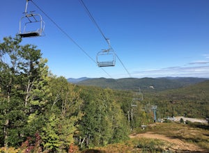
Hike Black Mountain Resort
3.1 mi / 1312.3 ft gainStart at parking-place, make it to the top and chose a route to hike back down. Beautiful views lay in front of you, for you to enjoy. This is a half day hike, full of nice places on the way to have lunch at, or just to enjoy and walk by. Enjoy the Hike ;)Read more -
Byron, Maine
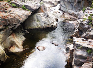
Swim in Coos Canyon
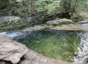
5.0Coos Canyon is right off of route 17 in Byron, ME. It's almost impossible to miss but if you're worried about it you can type "coos canyon" or "coos canyon rock and gift" into google maps and it will take you right there. There is a gravel parking lot to the right side of the road (heading north)...Read more -
Stow, Maine
Hike to Rattlesnake Pool
2.11 mi / 207 ft gainThe best place to start your hike is from Route 113 near Gilead, head towards Stone House Road. This becomes Shell Pond Road. A few miles in, you'll find a gated area where you can park. This trail, and Rattlesnake Pool, are both on private land - so be sure to practice leave no trace principles.Read more -
Weld, Maine
Hike Tumbledown Mountain
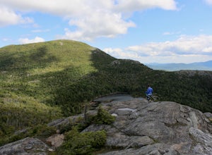
5.6 mi / 2300 ft gainTo keep the hike as short as possible, the hike can be an out and back at 5.6 miles, but if you wanted to make it a loop that is possible and adds only an additional 2 miles or so. We took the Brook Trail up to the summit (which passes by the alpine lake) and then followed it back down. To hike t...Read more -
Gorham, New Hampshire
Snowshoe to Carter Notch Hut
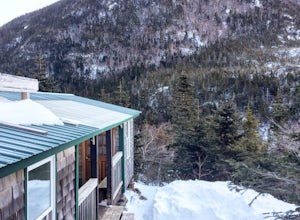
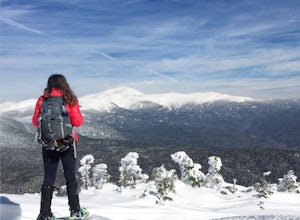
7.8 mi / 2200 ft gainThe nineteen mile brook trail is a winding path up approximately 2200 feet of elevation over the course of 3.9 miles. That distance feels a lot farther when you are breaking trail in 18-24 inches of snow and you are carrying 35 lb packs on your backs. Luckily we started out early and we able to ...Read more -
Jackson, New Hampshire
Drive Mt. Washington Auto Road
3.0Starting at roughly 3,000ft above sea level the Mt. Washington Auto Road will take you up nearly eight miles of beautiful, scenic, and well maintained mountain auto roads to The Mount Washington Summit. The summit sits at 6,289 and offers stunning 360° views of New Hampshire's Presidential Range,...Read more -
Denmark, Maine
Summit Bald Peak and Mt. Pleasant
6 mi / 1450 ft gainAfter turning on Mountain Rd, look for East Pinnacle Condominiums. The trailhead is about 0.1miles after that on the right between the telephone poles marked 49 and 50. There is a dirt parking lot to pull into. Now on to the hike! This hike begins by heading straight uphill immediately, and you ...Read more -
Bartlett, New Hampshire
Hike Cathedral Ledge
4.03.4 mi / 722 ft gainDuring spring, summer and fall there is a road that allows you to drive to the top of Cathedral Ledge. In winter the road is closed off to vehicles so reaching the top requires a 1.7 mile hike. Once at the top, there is a fenced in lookout with a 180 degree view of North Conway and the surroundin...Read more -
Crawford Notch Road, New Hampshire
Snowshoe Mount Jackson
5.2 mi / 2300 ft gainThe hike starts across the street from the AMC Highland Center on route 302, which means there is plenty of parking and when you finish there is a fireplace and snacks to warm up with! It starts at the Webster Jackson trailhead and after 1.4 miles breaks off onto the Jackson trail. At that point ...Read more -
Jefferson, New Hampshire
Hiking at Pondicherry Wildlife Refuge
4.5As hiking in the White Mountain area goes, this is a pretty easy one. This is a family friendly hike along a rail trail and well maintained forest trails. The main attraction here isn't the difficultly. The main attraction here is the spectacular views and the abundant wildlife.This trail begi...Read more -
Conway, New Hampshire
Drive the Kancamagus Highway
4.834.5 miThe Kancamagus Highway is designated an American Scenic Byway. It cuts through the White Mountains of New Hampshire. The highest point along the drive is 3000 feet. It is known as one of the best fall viewing areas in the country. If your interested there is also several campgrounds along thi...Read more -
Albany, New Hampshire
Rocky Gorge Scenic Area Loop
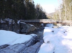
2 mi / 266 ft gainA beautiful area of the Kancamagus Highway, the Rocky Gorge section is home to rushing rapids and scenic lakes. When visiting in the fall the colors are amazing however be ready for traffic and more crowds. This location has a parking lot and walking trails along the river to multiple viewpoints.Read more -
Waterville Valley, New Hampshire
Sabbaday Falls
4.70.7 mi / 171 ft gainThis awesome waterfall is located right off of the Kancamagus Highway (rt 112) that runs from Lincoln to North Conway, NH. The highway itself is a very scenic drive through the White Mountains that has pull off spots every couple of miles. From I93 take exit 32 for Lincoln. Drive straight throug...Read more -
Lincoln, New Hampshire
Summit Mount Hancock and South Hancock
9.8 mi / 2220 ft gainThe Hancock trailhead is located at the infamous hairpin turn of the Kancamagus Highway in the White Mountains. The trail itself crosses the road and starts at 2000 feet of elevation on the Hancock Notch trail. It remains fairly flat for the first 3 miles of the trail. After 1.8 miles you will hi...Read more

