Sun Valley, Idaho
Top Spots in and near Sun Valley
-
Mackay, Idaho
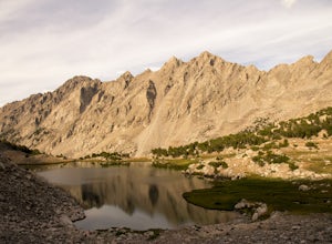
Backpack through Surprise Valley to Lake 10148
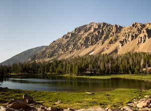
4.013 mi / 2900 ft gainI have a hard time getting the word "legendary" out of my mind when referencing this hike. I liked it that much. The trailhead begins at 7200'; be prepared to drive 20 miles on a maintained gravel road to get there. The first 3 miles of this out-and-back hike are pretty flat, meandering through ...Read more -
Ketchum, Idaho
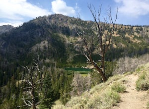
Hike to Titus Lake
This 3-mile round trip hike starts at above 8,000 feet, just shy of Galena Summit. If you have not yet adjusted to the mile-high altitude of Ketchum, prepare to be fairly winded throughout this walk. Though only 1.5 miles to the lake, the trail is at times quite steep, so be prepared to climb. Th...Read more -
Bellevue, Idaho
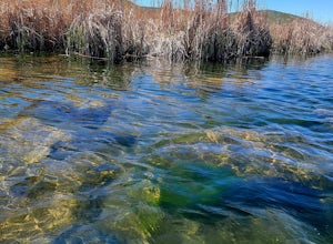
Kayak Silver Creek Preserve
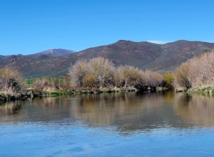
5.0Silver Creek Preserve is a fabulous float just outside the tiny town of Picabo, Idaho, on Silver Creek. The creek is spring fed and so is absolutely crystal clear. The float is easy, safe and excellent for new kayakers and children. The water levels are low, the bottom of the stream bed is alm...Read more -
Bellevue, Idaho
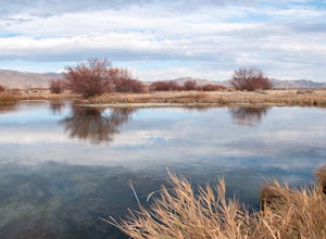
Hike Along Silver Creek
3 miFrom the intersection of Highways 75 and 20 drive east on Highway 20 for 7.3 miles. Turn right onto Kilpatrick Bridge Road and drive another 1.5 miles to the Silver Creek Preserve Visitor Center.Stop at the Visitor's Center to take in the desert landscape and snap a few pictures. Exit on the far ...Read more -
Bellevue, Idaho
Kayak Silver Creek: West Access to Picabo Bridge
Kayak Silver Creek: West Access to Picabo Bridge is a second incredible float near the town of Picabo, Idaho, on Silver Creek. The float is easy, safe and excellent for new kayakers and children. This float is up the road from Silver Creek Preserve adventure towards the east and near the little ...Read more -
Stanley, Idaho
Born Lakes via 4th of July Lake Trailhead
4.08.17 mi / 1736 ft gainDue to it's higher-than-average starting point, many backpackers use this trailhead to access the remote parts of the Boulder-White Cloud wilderness. The trailhead for this hike, nestled at 8850', is readily accessible by Prius and Jeep alike as the gravel road is well maintained, notwithstanding...Read more -
Stanley, Idaho
Hike to 4th of July Lake
3.6 mi / 900 ft gainThis is an easy, yet breathtakingly beautiful hike. After the fun adventure of the 10.2 mile extra bumpy dirt road to the trail head the hike in is simple. 4 Wheel drive and a spare tire are advised, I got a flat. The drive in through old burned forest area is a cool drive on its own. At the end ...Read more -
Ketchum, Idaho
Alice Lake via Petit Trail
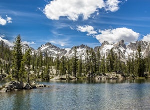
5.011.97 mi / 1673 ft gainAlice Lake is a must-see, jaw-dropping alpine lake in the Sawtooth Wilderness. Whether it's a day hike or a multiple night backpacking trip, it surely won't disappoint. Put on the Idaho playlist, we're headed to Stanley! In Stanley, hang right at the T in the road and continue 17 miles south alo...Read more -
Ketchum, Idaho
Alice Toxaway Loop
5.027.71 mi / 5515 ft gainThe Alice/Toxaway Loop is a standard loop in the Sawtooth Mountains, ID. The basic route is around 20 miles and takes 2-3 days. This trip report will outline our Aug 2016 trip and also give multiple options for you to use your own imagination when coming up with your own route. Below is my tak...Read more -
Ketchum, Idaho
Alice Lake, Twin Lake, Edith Lake Loop
21.85 mi / 3996 ft gainAlice Lake, Twin Lake, Edith Lake Loop is a loop trail that takes you near multiple alpine lakes located near Stanley, Idaho. Check the Forest Service website for updated permit and camping information in the area.Read more -
Lowman, Idaho
Hell Roaring Creek Trail to Hell Roaring Lake
11.16 mi / 787 ft gainHell Roaring Creek Trail in Lowman, Idaho, is a moderately challenging hiking trail that stretches for about 11.16 miles. The trail features a steady elevation gain of 787 feet, making it suitable for intermediate hikers. The trail leads to the stunning Hell Roaring Lake, a high-altitude body of ...Read more -
Lowman, Idaho
Imogene Lake
5.013.41 mi / 1496 ft gainYou will want to turn onto NF-209 off of highway 75, about 10 miles outside of Stanley, Idaho. You will then turn left onto 315, and you can either park at the lower or upper trail head for trail 097. When you park at the lower, you will be trekking 9 miles. If you choose the upper, you will be t...Read more -
Lowman, Idaho
Scramble Up Decker Peak
14.4 mi / 3990 ft gainThis can be a day trip or, if you want to take your time and relax after the climb, backpack in and camp at Hell Roaring Lake on the night before and after the climb. Begin your journey at Hell Roaring Lake Trailhead. From Stanley, drive on ID-75 south for 12 miles, turn west at Decker Flat, and ...Read more -
Mackay, Idaho
Hike to the Shay Trestle
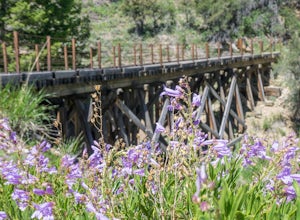
2 mi / 200 ft gainMine Hill Tour is a self-guided driving tour focused on Mackay's mining history. Stops showcase artifacts of the once-vibrant towns that housed miners and their families.Much of the tour is available to passenger vehicles. Begin by picking up a Mine Hill Tour map from any local merchant in Mackay...Read more -
Mackay, Idaho
Climb Mount Borah
4.87.5 mi / 5200 ft gainRising high above the sage brush covered landscape, Mount Borah is the tallest mountain in Idaho and is referred to as the "roof of Idaho." This behemoth is part of the Lost River Range in the central part of the state. The strongest earthquake in Idaho occurred along the fault line in 1983 and r...Read more -
Mackay, Idaho
Climb Mt. Breitenbach
8 mi / 4600 ft gainDirections to the "trailhead": From Mackay, Idaho take Highway 93, approximately 2 miles past Mackay reservoir, turn right on Upper Cedar Creek road (FS rd 127). Follow this road straight toward the mountains. There will be a number of cattle gates to go through. About 3 miles up, the road crosse...Read more
Top Activities
Visit Idaho
Idaho is a picturesque state filled with beautiful scenery and warm, wonderful people. It's an ideal destination for family travelers, outdoor enthusiasts, adventure seekers, or those just looking for a relaxing getaway.
Learn More

