Montpelier, Idaho
Looking for the best hiking in Montpelier? We've got you covered with the top trails, trips, hiking, backpacking, camping and more around Montpelier. The detailed guides, photos, and reviews are all submitted by the Outbound community.
Top Hiking Spots in and near Montpelier
-
Saint Charles, Idaho
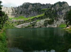
Hike to Bloomington Lake
4.80.5 miBloomington Lake is deep in the mountains West of a small town called Bloomington. The road from the town to Bloomington Lake is a narrow dirt road. It takes about 35 minutes to take this road and most cars should be able to handle it. There's plenty of parking at the trailhead and some bathrooms...Read more -
Richmond, Utah
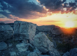
Hike Mt. Magog
5.05 mi / 1702 ft gainMt. Magog is one of the most visually striking mountains in the Bear River range. With its very rocky peak being visible from Tony Grove, it is often photographed, but rarely ever hiked. It is rarely hiked because there is not actually an official trail that goes to the summit. This makes the hik...Read more -
Richmond, Utah
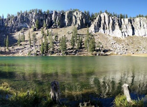
Backpack to White Pine Lake, Logan
4.57.6 mi / 1344 ft gainYou will start from the Tony Grove Lake parking lot and start hiking northeast on the White Pine Lake trailhead. The trail is roughly 3.8 miles to the lake through beautiful Quaking Aspens and Pines. The first 2.5 miles are fairly easy with a slight incline. You will then reach the top of a ridge...Read more -
Logan, Utah
Hike the Crimson Trail
4.5From the start of Logan Canyon, it's a 4.3-mile drive up the canyon. Pull over at the Guinavah-Malibu campground (between mile marker 466 and 457). Enter the campground and drive to the east, over the Logan River bridge. The trailhead starts between campsites 29 and 30. Beginning at an elevation ...Read more -
Logan, Utah
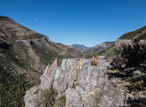
Hike to the Wind Caves, UT
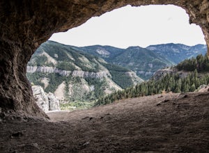
4.53.7 mi / 1000 ft gainAs you drive up Logan Canyon, you'll see the trailhead on the left side of the road, just after Guinavah-Malibu Campground. It's a fairly steep hike, but also very well maintained. The Wind Caves are probably the most popular hike in Northern Utah and for a good reason. As you can see in the pict...Read more -
Logan, Utah
Hike to Saddleback Mountain Reflectors
2.6 mi / 2302 ft gainHead east on the road going into Green Canyon, and just before the road turns Northeast, you will see a short dirt road continuing up towards the mountain next to a small power station. You can park anywhere along here. The trailhead is at the top of this road. The trail is hard to spot, but you ...Read more
Top Activities
Visit Idaho
Idaho is a picturesque state filled with beautiful scenery and warm, wonderful people. It's an ideal destination for family travelers, outdoor enthusiasts, adventure seekers, or those just looking for a relaxing getaway.
Learn More

