Hiawassee, Georgia
Looking for the best photography in Hiawassee? We've got you covered with the top trails, trips, hiking, backpacking, camping and more around Hiawassee. The detailed guides, photos, and reviews are all submitted by the Outbound community.
Top Photography Spots in and near Hiawassee
-
Glenville, North Carolina
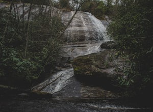
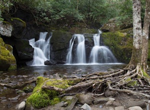
Hike to Wilderness Falls
1.4 mi / 300 ft gainWilderness Falls offers a beautiful hike with a simple yet captivating falls. All of the maintained trails in Pantertown Valley are marked by a number system (there is an information hut in the parking lot with information about other local trails, distance of different trails, and emergency cont...Read more -
Glenville, North Carolina
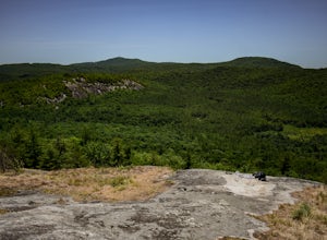
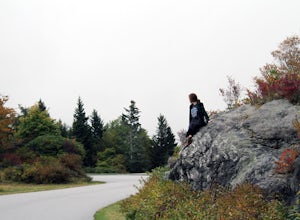
Hike to Blackrock Overlook
3 mi / 700 ft gainThis is probably one of my favorite hikes I've done in Panthertown Valley. Its also one of the easier views to access. You start from the Salt Rock Gap Parking lot, taking the Blackrock Trail (447) up Blackrock Mountain. This trail is located about 100 yards to the left if you are standing lookin...Read more -
Tuckasegee, North Carolina
Hike to Cedar Cliff Rock
2.4 mi / 830 ft gainCedar Cliff Rock is one of those local places that exemplifies the Blue Ridge mountains oh-so-well. From the top you can see the Tuckaseegee River along with both Cedar Cliff and Bear Creek Reservoirs. While there are a few homes in between, much of the view is untouched, allowing a big mountain ...Read more -
Cullowhee, North Carolina
Exploring two legendary Cherokee sites: Judaculla Rock and Devil's Courthouse, North Carolina
5.00.9 mi / 258 ft gainJudaculla was an ancient Cherokee spirit being and giant. He ruled in western North Carolina in the traditional Cherokee homeland. Once while chasing some hunters, when he jumped to the ground, his hand hit a rock. You can still see the print on Judaculla Rock. It is the most elaborate piece of r...Read more -
Townsend, Tennessee
Bike Cade's Cove Loop
4.710.5 miCade's Cove is a valley located smack in the middle of the Great Smoky Mountains National Park. Feel free to drive the 11 mile loop in the day, but if you're really cool, you'll schedule your trip around a full moon so you can bike under the light of night! Allow yourself a few hours to explore a...Read more -
35.556724,-83.495827
Forney Creek Loop
4.519.04 mi / 3500 ft gainThis is an overnight loop hike that is built around one night in the back country. It can be done as an ambitious day hike. Be advised that permits are required by the NPS for all overnight stays in Great Smoky Mountain National Park. The hike begins at the Clingman's Dome parking lot at the For...Read more -
Bryson City, North Carolina
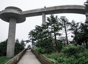
Clingmans Dome
4.41.23 miThe drive to Clingmans Dome is miles of scenic overlooks that provide endless views of ridges and valleys. Clingmans Dome Road comes to a parking lot from which you follow a .5 mile paved trail to the summit. There are also several trails that start on Clingmans Dome Road. Most notably The Appal...Read more -
Bryson City, North Carolina
Andrews Bald
5.03.55 mi / 1200 ft gainThe trail begins at the Clingmans Dome parking lot, just to the left of the paved walkway up to Clingmans Dome. You will start the hike at an elevation of 6130 feet which is only 334 feet less than Clingmans Dome which is the highest point in The Great Smoky Mountain National Park, and the second...Read more -
Tallassee, Tennessee
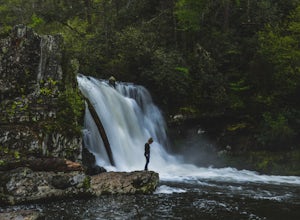
Abrams Falls Trail
4.84.96 mi / 625 ft gainOne of the biggest perks of hiking Abrams Falls is the drive to get there. The trailhead is located approximately 5 miles into the scenic Cades Cove Loop. Cades Cove is an adventure in itself. Keep your eye out for black bears, deer and wild turkey. If you are taking the self guided auto tour, Ab...Read more -
Townsend, Tennessee
Backpack to Spence Field
13.8 mi / 3100 ft gainStart your hike at Anthony Creek Trailhead (elevation 1,800 ft), in the Cade’s Cove area. The trailhead is located at the far end of the day-use picnic area near Cade’s Cove campground. There are a few parking spots right at the trailhead, but note that the picnic area closes at dusk (a gate clos...Read more -
Cherokee, North Carolina
Drive the Blue Ridge Parkway from the Southern Terminus
5.0The pinpoint for this particular entrance starts just outside of Cherokee, North Carolina, following the Parkway North. They say the Blue Ridge Parkway is more than just a road, it's a beautiful journey. Start this journey and you will quickly find this to be true. This 469 mile gateway connects...Read more -
Upper Tremont Road, Tennessee
Hike to Indian Flat Falls via Middle Prong Trail
4.57.21 mi / 1140 ft gainOne of the best trails in the Smokies is the Middle Prong Trail. The trail passes three major waterfalls, in addition to numerous smaller falls, cataracts and cascades. Once you've parked, you'll start at the trail head and immediately see your first cascade. From the trailhead hikers will cro...Read more -
Lake Toxaway, North Carolina
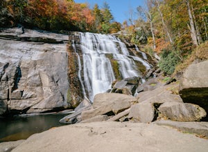
Rainbow Falls and Turtleback Falls in Gorges SP
4.53.91 mi / 778 ft gainRainbow Falls is one of the most scenic waterfalls in North Carolina's Blue Ridge Mountains. The Horsepasture River swells in the rainy season, dumping a cascade of water 150 feet. The plume of mist at the bottom creates a distinct rainbow effect, giving the falls its name. Hike to Rainbow Falls ...Read more -
Tuckasegee, North Carolina
Paradise Falls
4.30.74 mi / 167 ft gainTo the north of Panthertown lies a chain of dammed lakes that are some of the most peaceful waters in Western North Carolina. These make up the headwaters of the East Fork of the Tuckasegee River. The gorges that run between the top lakes are wild, scenic, and adventurous to even the most experie...Read more -
Copperhill, Tennessee
Hike the Beech Bottom Trail to Jacks River Falls
5.09 mi / 315 ft gainJacks River Falls is one of Georgia's most impressive waterfalls. Containing several cascades that combine to an 80 foot waterfall, this destination provides spectacular views and refreshing pools to take a dip in. You can approach the falls from either Jacks River Falls trail or the Beech Bott...Read more -
Reliance, Tennessee
Hike the Scenic Spur Trail
5.03.9 mi / 426 ft gainVery little elevation gain leads to an easy hike along a river right outside of the Ocoee river region. First .7 miles is very flat, then leads to some slight elevation gain but nothing too serious. This trail traverses through the lush forest for a short distance when you come across a small cre...Read more

