Clayton, Georgia
Top Spots in and near Clayton
-
Pickens, South Carolina
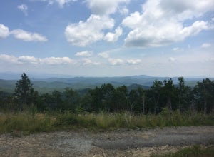
Summit Sassafras Mountain
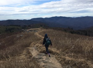
5.017.2 mi / 5041 ft gainPinnacle Trail begins by the Nature Center in Table Rock State Park. Keep left at the first three splits in the trail. You will make some creek crossings, gain elevation through the forest, and pass by Mills Creek Falls (25 ft). At Bald Rock Overlook, you can catch some nice views of Table Rock M...Read more -
Pickens, South Carolina
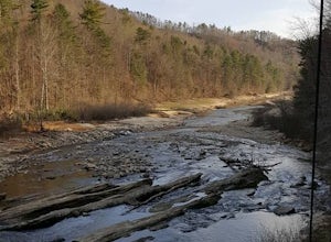
Backpack the Foothills Trail through the Southeastern Appalachian Mountains
5.076.2 mi / 11036 ft gainStarting at Table Rock State Park (South Carolina) and working your 76.2 miles way towards Oconee State Park (South Carolina) is the most popular route, with a few spur trails that lead to places like Raven Cliff Falls in Cesar's Head State Park. The trail gains ~11,036 feet in elevation with ano...Read more -
Pickens, South Carolina
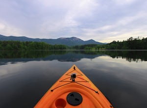
Paddle on Lake Oolenoy
5.0Part of Table Rock State Park, Lake Oolenoy is a 67-acre lake providing private boat access for kayaks, canoes, or small boats with electric trolling motors.To get to the boat ramp, when traveling on scenic Highway 11, turn Sah Ka Na Ga View Road on the opposite side of the road as the Table Rock...Read more -
Dahlonega, Georgia
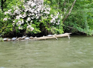
Kayak the Chestatee River South of Dahlonega
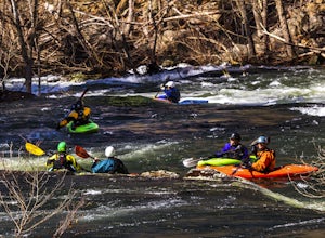
4.0This six mile section of the Chestatee River is a safe, enjoyable float mostly away from civilization. There are several small rapids and bumpy areas (class 1) throughout, with two larger rapids (class 1-2) towards the end of the section. It does get pretty shallow in some sections, so keep watch...Read more -
Pickens, South Carolina
Hike Glassy Mountain
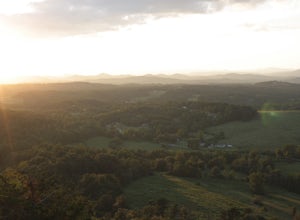
5.01.3 mi / 200 ft gainThis view never gets old and it is super easy to access. It's also only like half a mile down and then half a mile back up, so if you do watch the sunset, the walk back is easy. The trail is out by Glassy Mountain Church in Pickens, SC and it's accessible year round. The hike is very simple, and ...Read more -
Murphy, North Carolina
Hike to Panther Top Fire Tower
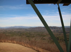
1.5 mi / 450 ft gainThe Panther Top fire tower is located in the Nantahala National Forest outside of Murphy, NC. To get there you get off of US 74 then turn onto panther top rd and continue till you see the signs for the tower. Once you get there the hike is about .75 there mostly up on the way to the top of the to...Read more -
Canton, North Carolina
Photograph Sunburst Falls
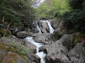
This waterfall is right off the side of the road on NC 215. NC 215 is straight off of the blue ridge parkway and is just north of Brevard. The waterfall has to main parts one that is above the road and one that is below. The part below the road is the most scenic and the easiest to walk too. The ...Read more -
Canton, North Carolina
Tennent Mountain
5.03 mi / 285 ft gainPark at the Lot at the end of Black Balsam road, and start your morning in the dark, down the old dirt road at the end of the lot. Take this road until you get to Ivestor Gap and make a right onto the Art Loeb, try and time it so the sun is just about to rise here. Hike or trail run The Art Loeb ...Read more -
Canton, North Carolina
Sam Knob and Flat Laurel Creek Loop
4.93.84 mi / 807 ft gainThis is one of my favorite quick "getaway" loops in the Pisgah Ranger District. Turn onto Black Balsam Knob Road (Mile Marker 420 on the Blue Ridge Parkway) go until you reach a dead end and park at the parking lot. You'll see the Sam Knob trail to the right of the public bathrooms. From there, i...Read more -
Haywood County, North Carolina
Black Balsam Knob via Art Loeb Trail
5.01.56 mi / 305 ft gainThe parking area for Black Balsam Knob is at mile marker 420.2 on the Blue Ridge Parkway. It's free to hike here. Take the Art Loeb Trail a half mile until you reach the knob. Along the way you will be walking almost entirely on the bald which is a very pleasant experience. You feel like you're ...Read more -
Sylva, North Carolina
Waterrock Knob Trail
5.01 mi / 407 ft gainThe trail begins paved and quickly climbs up into a heavily forested area. Once at a 1/4 of a mile in, you will come to a nice overlook that will give you your first real good view of the surrounding mountains. The trail then continues on, though now unpaved, with great views off to your left as ...Read more -
Sylva, North Carolina
Abandoned Cessna 414A at Waterrock Knob (Removed)
3.71.72 mi / 430 ft gainNOTE: The wreckage has now been removed. Please see the press release on NPS.gov for more details. Ever hiked to an abandoned plane in the middle of the woods? Yeah me neither until I heard of this gem. This is an AWESOME day hike for anyone looking to get outside for a few hours and see some ...Read more -
Cherokee, North Carolina
Drive the Blue Ridge Parkway from the Southern Terminus
5.0The pinpoint for this particular entrance starts just outside of Cherokee, North Carolina, following the Parkway North. They say the Blue Ridge Parkway is more than just a road, it's a beautiful journey. Start this journey and you will quickly find this to be true. This 469 mile gateway connects...Read more -
Canton, North Carolina
Graveyard Fields-Black Balsam Knob Circuit
4.49.83 mi / 1522 ft gainWhen the weather is in your favor, these treeless mountain tops will have your jaw on the floor with layers upon layers of Blue Ridge Mountains. This hike can be done in one day, but with panoramic views at multiple points, you'll want to take your time along this link of trails. This ~10-mile l...Read more -
Canton, North Carolina
Explore Lower Falls at Graveyard Fields
4.3Graveyard Fields got it's name years ago from wind-thrown tree trunks that gave the appearance of a graveyard, until 1925 when an intense fire swept through the area, destroying the stumps. The forest has been recovering ever since.The parking area for Graveyard Fields is located at milepost 418....Read more -
Robbinsville, North Carolina
Paddle The Cheoah River
5.0The Cheoah River is a dam controlled section of whitewater that has become one of the "bucket runs" for Western, North Carolina. Located near Robbinsville, NC, the Cheoah is a non-stop class IV+ classic of constant gradient that delivers a Southeastern whitewater experience like no other. There ...Read more

