Chattahoochee National Forest, Georgia
Looking for the best hiking in Chattahoochee National Forest? We've got you covered with the top trails, trips, hiking, backpacking, camping and more around Chattahoochee National Forest. The detailed guides, photos, and reviews are all submitted by the Outbound community.
Top Hiking Spots in and near Chattahoochee National Forest
-
Farner, Tennessee
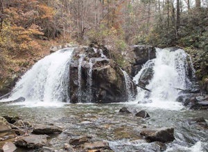
Turtletown Falls Trail
3.45 mi / 377 ft gainTurtletown Falls Trail is a loop trail that takes you by a waterfall located near Farner, Tennessee.Read more -
Copperhill, Tennessee
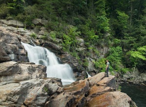
Hike the Beech Bottom Trail to Jacks River Falls
5.09 mi / 315 ft gainJacks River Falls is one of Georgia's most impressive waterfalls. Containing several cascades that combine to an 80 foot waterfall, this destination provides spectacular views and refreshing pools to take a dip in. You can approach the falls from either Jacks River Falls trail or the Beech Bott...Read more -
Chatsworth, Georgia
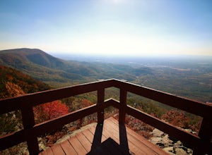
Hike the Gahuti Trail
4.08.1 mi / 1223 ft gainFort Mountain rises prominently from the plateau to the West, serving as the start of the Blue Ridge Mountain range in Georgia. The Gahuti Backcountry Trail circumnavigates the mountain, with several overlooks with views in all directions. At 8.1 miles, this hike is moderately difficult, but can...Read more -
Chatsworth, Georgia
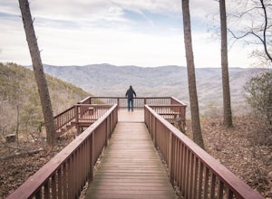
Hike the West Overlook Trail and CCC Stone Tower Trail Loop
4.71 mi / 200 ft gainFort Mountain State Park is filled with horse trails, biking trails, walking trails, camping sites, and a lake. Once you arrive at the park you pay a $5 entrance fee and will receive a park map. While visiting I walked the West Overlook Trail and came back down the CCC Tower Trail. This is a 1 mi...Read more -
Reliance, Tennessee
Rainbow Falls, Cherokee National Forest
4.83.37 mi / 531 ft gainStarting at the parking lot, head up the trail (Clemmer #302/Scenic Spur #78) and it should say "1.7 miles to waterfalls". At the top of the hill in approximately 0.1 miles, veer to the right on trail #78. Continue for another 0.6 miles trail - #86 cuts across but continue straight on #78. From t...Read more -
Reliance, Tennessee
Hike the Scenic Spur Trail
5.03.9 mi / 426 ft gainVery little elevation gain leads to an easy hike along a river right outside of the Ocoee river region. First .7 miles is very flat, then leads to some slight elevation gain but nothing too serious. This trail traverses through the lush forest for a short distance when you come across a small cre...Read more -
Cumming, Georgia
Hike the Indian Seats Trail
4.33.24 mi / 453 ft gainThe Sawnee Mountain Preserve is easy to get to with a GPS and offers plenty of parking. To get to the Indian Seats Trail you will start down a short (.17 mile) trail that will take you to the trailhead. The Indian Seats Trail is a loop so once you reach the marked trail you can go either left or ...Read more -
Clayton, Georgia
Camp at Tallulah River Campground
Tallulah River Campground is located in the Chattahoochee-Oconee national forest. It is just outside of Clayton, Georgia. The campground has about 15 spots that are big enough for a small to medium sized RV. Each camping spot also has a nice tent pad for a big tent. Most spots are also on the riv...Read more -
Cumming, Georgia
Mountainside Loop Trail
4.05.35 mi / 823 ft gainMountainside Loop Trail is a loop trail where you may see beautiful wildflowers located near Cumming, Georgia.Read more -
Tiger, Georgia
Hike to Glassy Mountain
5.01 mi / 3415 ft gainIn order to find this hidden gem, you'll have to drive quite a ways up the mountain first, otherwise it is a very steep incline. There will be limited parking at the gate that stops you from driving the whole way up. You will turn onto a road called "Glassy Mountain Rd" and that will be the road ...Read more -
Benton, Tennessee
Hike to Benton Falls
5.03.2 mi / 318 ft gainStart this hike from the parking lot of the Chilhowee Day Use Area (here you must remember to bring $3 cash to pay the day use fee). To begin, walk along the path to the left of the facilities until you come to the trailhead. Start here continuing along the left-side of the lake. After passing t...Read more -
Lakemont, Georgia
Minnehaha Falls
4.20.39 mi / 98 ft gainDespite their beauty, not many hikers know about Minnehaha Falls. Even more shocking, these are some of the most accessible falls in all of North Georgia. Round trip, the hike to the falls will only take about a half a mile. Hikers can park along the side of the road at the trailhead. Follow the ...Read more -
Robbinsville, North Carolina
Hike Hooper Bald
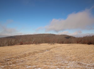
1 mi / 250 ft gainHooper bald is one of the highest points in Graham County so the views from the top can be spectacular year round. The trail-head starts at mile marker 8 on the Cherohala Skyway. From the trail-head you start your accent on a semi-paved trail and walk about a half-mile before reaching the edge o...Read more -
Tellico Plains, Tennessee
Camp at North River Campground and Dispersed Campsites
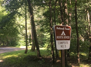
North River Road is located in the Nantahala National Forest near Tellico Plains. To get to North River Campground you can either drive up the Cherohala Skyway about 6 miles then turn when you see the sign for the campground and bald river falls. Another way to get to the campsites along North Ri...Read more -
Tellico Plains, Tennessee
Explore North River Road
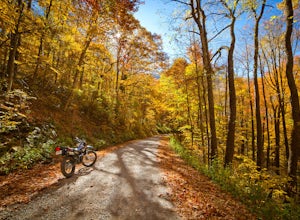
4.7If you're looking to get off the beaten path and take the road less traveled, North River Road is your ticket to solitude.A popular loop for the locals is starting on Tellico River Road, then getting on North River Road to make your way up the mountain all the way to the Cherohala Skyway. Take th...Read more -
Tellico Plains, Tennessee
Hike to Conasauga Falls
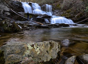
4.51.5 mi / 400 ft gainGetting to the trailhead can be a challenge if there has been any heavy precipitation or icy conditions due to the fact the last two miles are one mile of broken pavement and the last mile a dirt road. You should be fine in good conditions in any car; however, just make sure to take it easy on th...Read more

