Cartersville, Georgia
Top Spots in and near Cartersville
-
Suwanee, Georgia
Sims Lake Park Trail
5.01.17 mi / 135 ft gainSims Lake Park Trail is a loop trail that takes you by a lake located near Suwanee, Georgia.Read more -
Dawsonville, Georgia
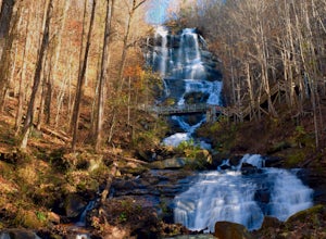
Amicalola Falls
4.30.73 mi / 292 ft gainAdventurers access the falls through the state park entrance. From the parking lot, hikers follow the clearly marked signs to the base of the falls. The incline begins by the pond at the base of the falls. From the pond, follow the incline along the cascading portion of the falls to the stairs. A...Read more -
Dawsonville, Georgia
Hike to Springer Mountain
3.519 mi / 4346 ft gainBegin your journey from Amicalola Falls State Park. Despite the steep climb, you should park at the base of the falls and climb the steps for a great view of one of the grandest falls in the South. (For more on that hike, see: "Climb the Stairs to Amicalola Falls"). From the top of the falls, fol...Read more -
Dawsonville, Georgia
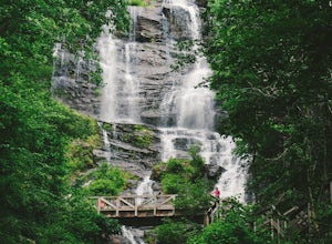
Amicalola Falls Loop via Upper Observation Platform
5.01.93 mi / 666 ft gainTo get there you can use Google Maps or Waze to “Upper Observation Platform” – W Ridge Staircase, Dawsonville, GA 30534. The other option is to start at the visitor center. If you start at the visitor center, it will add about a mile to your hike so parking in the upper parking lot like us will s...Read more -
Atlanta, Georgia
Hike around the Doll's Head Trail At Constitution Lakes Park
3.51 miLocating the entrance to Constitution Lakes Park is the hardest part of this hike. There's no specific address to take you to the parking lot, but if you find South River Industrial Boulevard, you'll see the sign for Constitution Lakes Park on your right. Parking is free and there are two trail...Read more -
Chatsworth, Georgia
Hike the Gahuti Trail
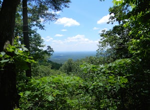
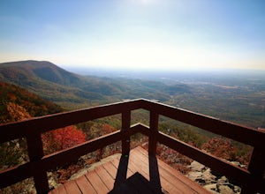
4.08.1 mi / 1223 ft gainFort Mountain rises prominently from the plateau to the West, serving as the start of the Blue Ridge Mountain range in Georgia. The Gahuti Backcountry Trail circumnavigates the mountain, with several overlooks with views in all directions. At 8.1 miles, this hike is moderately difficult, but can...Read more -
Chatsworth, Georgia
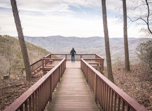
Hike the West Overlook Trail and CCC Stone Tower Trail Loop
4.71 mi / 200 ft gainFort Mountain State Park is filled with horse trails, biking trails, walking trails, camping sites, and a lake. Once you arrive at the park you pay a $5 entrance fee and will receive a park map. While visiting I walked the West Overlook Trail and came back down the CCC Tower Trail. This is a 1 mi...Read more -
Stone Mountain, Georgia
Stone Mountain
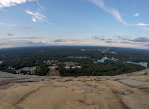
4.22.23 mi / 650 ft gainStone Mountain sits on the outskirts of downtown Atlanta. Located in the center of Stone Mountain Park, this 1,686 ft. granite mound provides visitors with a challenging cardio workout and excellent panoramic views of the Atlanta metropolitan area. Those who want to climb Stone Mountain should...Read more -
Chatsworth, Georgia
Emery Creek Falls
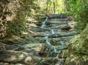
5.05.9 mi / 833 ft gainThe hike to the five waterfalls on the Emery Creek trail is one of the most spectacular hikes in Georgia. This trail is moderate in climb, yet secluded in the Cohutta Wilderness and challenging enough to keep crowds away. Two things to note about this trail: it is wet (there are 20 creek crossing...Read more -
Ellijay, Georgia
Mountain Biking Bear Creek
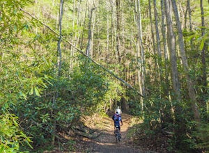
Bear Creek is a southern favorite amongst the mountain biking community. There are many variations and add-ons to make this ride more challenging, but the classic up and back from the parking lot at the base of Bear Creek is one of the most rewarding and adrenaline pumping runs you will find in ...Read more -
Lawrenceville, Georgia
Rhodes Jordan Park Trail
1.48 mi / 138 ft gainRhodes Jordan Park Trail is a loop trail that takes you by a lake located near Lawrenceville, Georgia.Read more -
Fort Payne, Alabama
Little River Canyon
1.33 mi / 180 ft gainLittle River Canyon is a loop trail that takes you by a waterfall located near Fort Payne, Alabama.Read more -
Fort Payne, Alabama
Explore Little River Falls
4.0Little River Falls is a popular site within the Little River Canyon National Preserve, a 12 mile long, 600 ft deep canyon.The 45-foot falls can be accessible from two different vantage points – either via a paved but steep path from the parking lot down to an overlook, or by driving to a higher l...Read more


