Cartersville, Georgia
Looking for the best fishing in Cartersville? We've got you covered with the top trails, trips, hiking, backpacking, camping and more around Cartersville. The detailed guides, photos, and reviews are all submitted by the Outbound community.
Top Fishing Spots in and near Cartersville
-
Euharlee, Georgia
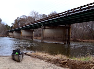
Paddle the Lower Etowah (Euharlee Road to 411)
The nine mile stretch of river between Euharlee Road and 411 provides a beautiful getaway near Cartersville. As it sits downstream of Allatoona Lake, this is considered the Lower Etowah, and the temperament of the current depends largely on whether or not the Corps is releasing water upstream fro...Read more -
Lithia Springs, Georgia
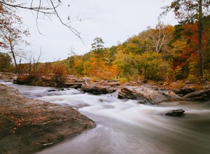
Sweetwater Creek White Loop
4.54.87 mi / 371 ft gainSweetwater Creek State Park offers a breath of fresh air and beautiful sights only 15 miles from Atlanta. The park has 9 miles of trails to choose from. The shortest of the three trails is the Red Trail (1 mile, one-way). After a half mile you will arrive at the impressive 5 story New Manchester ...Read more -
Lithia Springs, Georgia
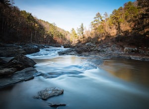
Sweetwater Creek Red Trail
4.81.48 mi / 46 ft gainSweetwater Creek State Park lies just about 20 minutes West of Downtown Atlanta. An easy drive along I-20 from the large city makes this park a very popular destination, especially on the weekends. Out of the parks three main trails, the Red Trail is by far my favorite. Scenic river views and ...Read more -
Summerville, Georgia
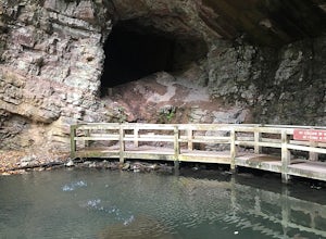
Hike the Marble Mine Trail
4.31.7 mi / 200 ft gainThis 1.7 mile loop is almost entirely on a wide pebbled road making this hike perfect for getting families and friends outdoors. Though there is some elevation gain, the Marble Mine Loop is quite an easy walk. Go during the Fall and the trees are boasting all the reds, oranges, and yellows of the...Read more -
Atlanta, Georgia
Hike around the Doll's Head Trail At Constitution Lakes Park
3.51 miLocating the entrance to Constitution Lakes Park is the hardest part of this hike. There's no specific address to take you to the parking lot, but if you find South River Industrial Boulevard, you'll see the sign for Constitution Lakes Park on your right. Parking is free and there are two trail...Read more -
Chatsworth, Georgia
Emery Creek Falls
5.05.9 mi / 833 ft gainThe hike to the five waterfalls on the Emery Creek trail is one of the most spectacular hikes in Georgia. This trail is moderate in climb, yet secluded in the Cohutta Wilderness and challenging enough to keep crowds away. Two things to note about this trail: it is wet (there are 20 creek crossing...Read more -
Lawrenceville, Georgia
Rhodes Jordan Park Trail
1.48 mi / 138 ft gainRhodes Jordan Park Trail is a loop trail that takes you by a lake located near Lawrenceville, Georgia.Read more

