Augusta, Georgia
Looking for the best photography in Augusta? We've got you covered with the top trails, trips, hiking, backpacking, camping and more around Augusta. The detailed guides, photos, and reviews are all submitted by the Outbound community.
Top Photography Spots in and near Augusta
-
Augusta, Georgia
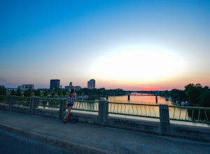
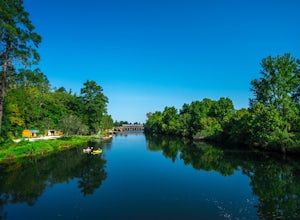
Ramble along the Augusta Riverwalk
4.53 miBeginning at the 5th Street Marina, the Riverwalk is two tiered with an upper level and a lower level, closer to the river itself. As you walk north, you’ll reach the 8th street plaza and bulkhead which is home to the Saturday morning market and the famous fountain along the brick-lined road to t...Read more -
Augusta, Georgia
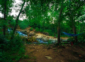
Swim at Aqueduct Park (Rae's Creek)
4.00.5 mi / 50 ft gainAlthough it is not heavily advertised, Augusta's Rae Creek Aqueduct Park is one of the most beautiful parks in the area. Located across the bridge from the Lake Olmstead Trailhead, a dirt path leads you to the base of a 35 foot waterfall that flows into a swimming hole. Next to the waterfall is R...Read more -
Augusta, Georgia
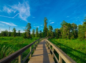
Hike through Phinizy Swamp
5.02 mi / 20 ft gainPhinizy offers miles of nature trails around the swamp and an expansive wooden boardwalk that allows visitors to walk the 100 meters across the swampy water. If you get lucky, you may see some of the resident beavers, alligators, and bobcats in their natural habitats. The narrow trails through th...Read more -
Augusta, Georgia
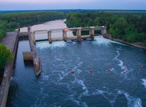
Explore and Fish at the Savannah River Lock and Dam
5.0Hidden in the back woods behind Augusta's domestic airport, the New Savannah River Lock and Dam is a favorite fishing spot for locals. Drive through the entrance to the park and you'll find a large selection of pavilions, fishing areas, a boat ramp, and even fish cleaning stations! Put your pole ...Read more -
Martinez, Georgia
Kayak the Augusta Canal
5.0Out of all the adventures in Augusta, Kayaking the Augusta Canal might be my favorite. Hosted by the Savannah River Rapids Park, single kayaks, tandem, and paddleboards are available for rent ($20-$40) from the Savannah Rapids Kayak Rental Center located on the Savannah River Rapids Trail. The la...Read more -
Beech Island, South Carolina
Explore Redcliffe Plantation
2 mi / 200 ft gainNestled in between Augusta GA and Aiken SC, Redcliffe Plantation is one of the many large historic plantations in South Carolina. Built in 1859, it was once home to Hames Henry Hammond, an extremely successful businessman, congressman, governor, and senator. The Greek-Revival style plantation ho...Read more -
Evans, Georgia
Kayak Betty's Branch
5.0Beginning at Riverside Park, put in either at the concrete boat ramp or the beach. Paddle along until you exit the inlet and now you have a decision to make: right or left?Left: Turning left takes you on a longer and more difficult route than turning right (3 hours total), but it’s absolutely wor...Read more -
Appling, Georgia
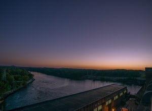
Photograph a Sunset at West Dam
West Dam is located across the road from one of the most prominent structures in area: J. Strom Thurmond Dam. Thurmond Lake is created by the dam and the park is located on this lake. Fishing is extremely popular here, especially for largemouth bass and striped bass. There is a large swimming are...Read more -
Lincolnton, Georgia
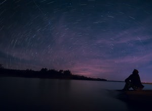
Photograph the Stars Over Clarks Hill Lake
The Cherokee Boat Ramp is easily my new favorite place for astrophotography in the Augusta area. If you drive around the boat ramp area for awhile, you'll notice plenty of spots to set up your camera and aim it down the beautiful Clarks Hill Lake. The ramp area creates a loop. Near the end of the...Read more -
Appling, Georgia
Hike Cliatt Creek Loop to Rock Dam Trail
4.010 mi / 200 ft gainMistletoe State park encompasses 15 miles of hiking trails that lead both along Clarks Hill Lake and the river adjacent to it. Although not a necessarily strenuous hike, the 3.75-mile Cliatt Creek Nature Loop (white blaze) begins at the park’s nature center and features some amazing wildlife as i...Read more -
Crawfordville, Georgia
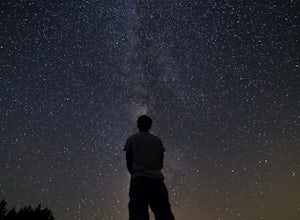
Stargaze at Deerlick Astronomy Village
Before any trip I take I pull up the dark sky map: darksitefinder.com. This incredible tool is great in finding low light pollution areas nearby.However, when I don't feel like driving many hours away on dirt roads, this is a great alternative in the Southeast. Spend a night with professional an...Read more

